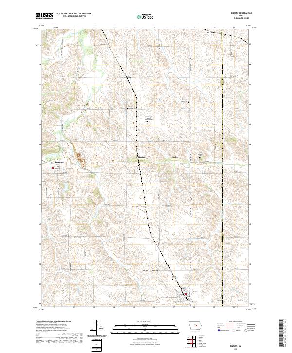
2022 Map of Gilman
USGS Topo · Published 2022About this map
Gilman serves as the primary hub in this portion of south-central Iowa, located at the junction of Zeller Ave and Highway 146. The landscape is defined by the agricultural grid of the Marshall and Tama County border, where small settlements like Pickering, Dunbar, and Ferguson are spaced along rural sections. This area preserves a significant concentration of early community heritage sites, particularly religious burying grounds that reflect the ancestral roots of the region.
Find a feature on this map
67 named features on this map. Tap any name to fly to it.
Don’t see what you’re looking for? This feature index may not catch every label — zoom into the map to look around manually.
Map Details
Editions of this 2022 Gilman Map
This is the sole edition of this map. No revisions or reprints were ever made.
Other maps of this area

1954 · Waterloo
USGS Topo · 1:250,000

1954 · Des Moines
USGS Topo · 1:250,000

1955 · Waterloo
USGS Topo · 1:250,000

1956 · Des Moines
USGS Topo · 1:250,000

1957 · Des Moines
USGS Topo · 1:250,000

1960 · Marshalltown
USGS Topo · 1:24,000

1960 · Marshalltown
USGS Topo · 1:62,500

1960 · Le Grand
USGS Topo · 1:24,000

1969 · Des Moines
USGS Topo · 1:250,000

1971 · Garwin
USGS Topo · 1:24,000