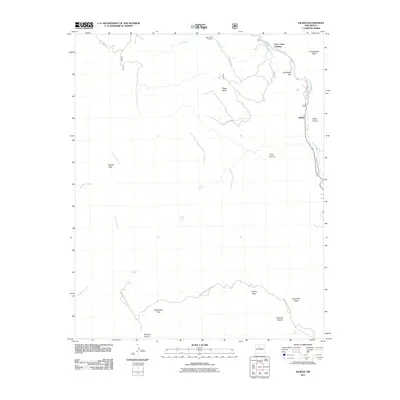
2011 Map of Gilman
USGS Topo · Published 2011About this map
Gilman sits along the Rio Guadalupe in a landscape defined by dramatic shifts in elevation and water management. This area of Sandoval County shows the complex geography of the high desert, where features like the Guadalupe Box canyon and the Cañones Communities Ditch indicate the historic and ongoing importance of water rights and natural topography to local settlement. High plateaus such as Guadalupita Mesa and Peggy Mesa dominate the northern section, while the southern reaches are marked by wide drainages like Peñasco Canyon. Evidence of earlier resource exploration is found at the Deer Creek Prospect near the north-central border. The network of forest roads and trails, including Old Peggy Mesa Rd, provides access to various springs such as Navajo Springs and Log Springs, which have long served as vital watering points in this arid environment.
Find a feature on this map
30 named features on this map. Tap any name to fly to it.
Don’t see what you’re looking for? This feature index may not catch every label — zoom into the map to look around manually.
Map Details
Editions of this 2011 Gilman Map
This is the sole edition of this map. No revisions or reprints were ever made.
Other maps of this area
1890 · Jemes
USGS Topo · 1:125,000
1892 · Jemes
USGS Topo · 1:125,000
1937 · Jemez Springs
USGS Topo · 1:48,000
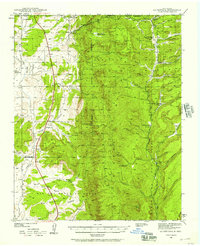
1939 · La Ventana
USGS Topo · 1:62,500
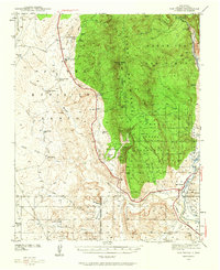
1939 · San Ysidro
USGS Topo · 1:62,500
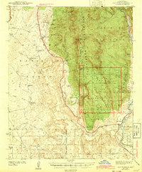
1943 · San Ysidro
USGS Topo · 1:62,500
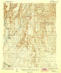
1943 · Jemez
USGS Topo · 1:62,500
1943 · La Ventana
USGS Topo · 1:62,500
1944 · Jemez Springs
USGS Topo · 1:62,500
1952 · Jemez Springs
USGS Topo · 1:62,500