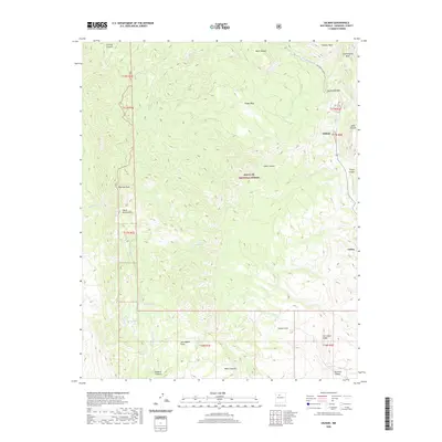
2020 Map of Gilman
USGS Topo · Published 2020About this map
The Santa Fe National Forest dominates this section of the Sierra Nacimiento, where the high desert landscape is deeply carved by water and time. The settlement of Gilman sits along the Rio Guadalupe, which winds through narrow passages like the Guadalupe Box before flowing south toward Cañon. The map reveals a complex system of plateaus and drainage basins, including the broad Peggy Mesa and the lower Coyote Flats. This 2020 survey is particularly useful for identifying the numerous water sources that define life in this arid terrain, from the Navajo Springs to the Cien Springs and Barrel Spring. High points like Pajarito Peak provide a topographical anchor for the surrounding canyons, such as Osha Canyon and Semilla Canyon, showing the varied elevations that dictate the area's natural boundaries.
Find a feature on this map
37 named features on this map. Tap any name to fly to it.
Don’t see what you’re looking for? This feature index may not catch every label — zoom into the map to look around manually.
Map Details
Editions of this 2020 Gilman Map
This is the sole edition of this map. No revisions or reprints were ever made.
Other maps of this area

1890 · Jemes
USGS Topo · 1:125,000

1892 · Jemes
USGS Topo · 1:125,000

1937 · Jemez Springs
USGS Topo · 1:48,000

1939 · La Ventana
USGS Topo · 1:62,500

1939 · San Ysidro
USGS Topo · 1:62,500

1943 · San Ysidro
USGS Topo · 1:62,500

1943 · Jemez
USGS Topo · 1:62,500

1943 · La Ventana
USGS Topo · 1:62,500

1944 · Jemez Springs
USGS Topo · 1:62,500

1952 · Jemez Springs
USGS Topo · 1:62,500