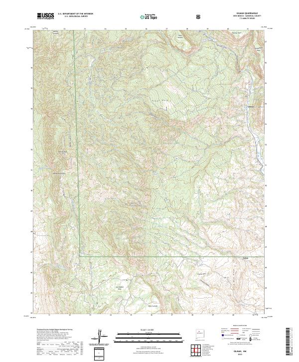
2023 Map of Gilman
USGS Topo · Published 2023About this map
Santa Fe National Forest encompasses the majority of this landscape in Sandoval County, where the high elevations of the Sierra Nacimiento meet dramatic geologic formations. The settlement of Gilman sits at the eastern edge of the quadrangle near the Guadalupe Box, a prominent canyon gap where the terrain drops sharply toward the Jemez River valley. The map documents a complex network of forest roads and trails navigating between expansive tablelands like Peggy Mesa, Mesa Venado, and Holiday Mesa.
Find a feature on this map
33 named features on this map. Tap any name to fly to it.
Don’t see what you’re looking for? This feature index may not catch every label — zoom into the map to look around manually.
Map Details
Editions of this 2023 Gilman Map
This is the sole edition of this map. No revisions or reprints were ever made.
Other maps of this area

1890 · Jemes
USGS Topo · 1:125,000

1892 · Jemes
USGS Topo · 1:125,000

1937 · Jemez Springs
USGS Topo · 1:48,000

1939 · La Ventana
USGS Topo · 1:62,500

1939 · San Ysidro
USGS Topo · 1:62,500

1943 · San Ysidro
USGS Topo · 1:62,500

1943 · Jemez
USGS Topo · 1:62,500

1943 · La Ventana
USGS Topo · 1:62,500

1944 · Jemez Springs
USGS Topo · 1:62,500

1952 · Jemez Springs
USGS Topo · 1:62,500