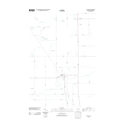
2013 Map of Gilman
USGS Topo · Published 2013About this map
Gilman serves as the primary hub in this Taylor County landscape, situated where Wi-64 crosses the winding path of the Yellow River. The surrounding terrain is defined by a complex network of water bodies and managed flowages, including Witt Flowage, Sotak Flowage, and several numbered reservoirs such as Flowage Number Three. Just to the south, the settlement of Polley sits near the banks of Hay Creek, connected by local routes like Polley Ln. The area’s hydrological character is further shaped by the Fisher River in the north and numerous small tributaries like Babit Cr and Elder Cr. This map documents a quiet rural pocket of Wisconsin, showing the distribution of family-named roads and local infrastructure that connects these river-valley communities.
Find a feature on this map
51 named features on this map. Tap any name to fly to it.
Don’t see what you’re looking for? This feature index may not catch every label — zoom into the map to look around manually.
Map Details
Editions of this 2013 Gilman Map
This is the sole edition of this map. No revisions or reprints were ever made.
Other maps of this area

1945 · Black River
USGS Topo · 1:48,000

1947 · Sheldon
USGS Topo · 1:48,000

1949 · Sheldon
USGS Topo · 1:48,000

1949 · Jump River Fire Tower
USGS Topo · 1:48,000

1951 · Lublin
USGS Topo · 1:48,000

1951 · Gilman
USGS Topo · 1:62,500

1953 · Rice Lake
USGS Topo · 1:250,000

1959 · Rice Lake
USGS Topo · 1:250,000
1969 · Lublin
USGS Topo · 1:24,000
1969 · Lublin NW
USGS Topo · 1:24,000