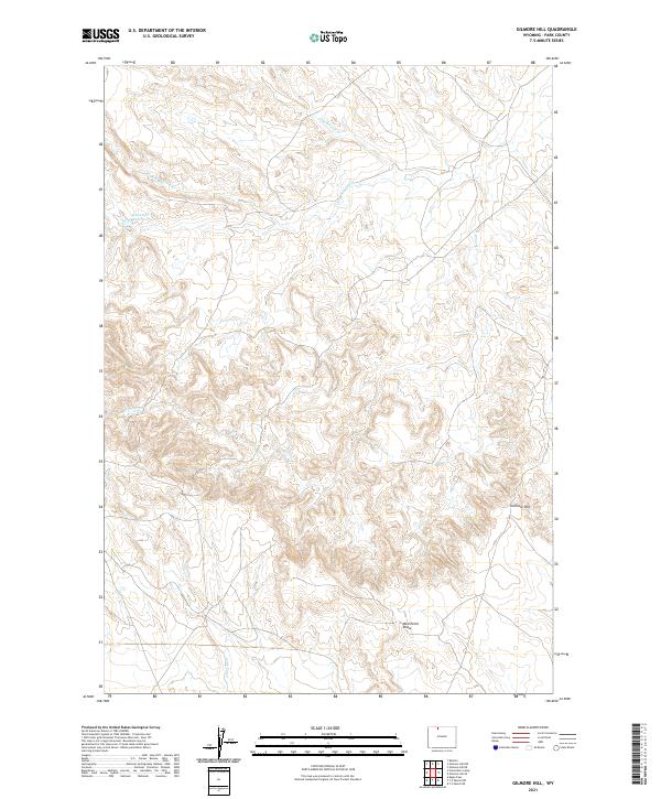
2021 Map of Gilmore Hill
USGS Topo · Published 2021About this map
Whistle Cr Reservoir and the surrounding high desert terrain define this portion of Park County, where water management is central to the landscape. The intricate drainage network of Whistle Cr, including the N Br Whistle Cr and W Br Whistle Cr, carved the topography long before the introduction of man-made irrigation. The presence of the Wiley Canal in the southern sections illustrates the region's reliance on engineered waterways to support life and industry in an arid environment. Rising above the draws and creek beds, Gilmore Hill serves as a prominent local landmark, while Red Point Draw marks the rugged descent toward the lower basins. This survey provides a clear view of the Public Land Survey System grid, including corners of t53n r98w and t52n r99w, which dictated the parceling of this Western rangeland.
Find a feature on this map
12 named features on this map. Tap any name to fly to it.
Don’t see what you’re looking for? This feature index may not catch every label — zoom into the map to look around manually.
Map Details
Editions of this 2021 Gilmore Hill Map
This is the sole edition of this map. No revisions or reprints were ever made.
Other maps of this area

1911 · Oregon Basin
USGS Topo · 1:62,500

1913 · Oregon Basin
USGS Topo · 1:62,500

1951 · Y U Bench NW
USGS Topo · 1:24,000

1951 · Y U Bench NE
USGS Topo · 1:24,000

1955 · Cody
USGS Topo · 1:250,000

1958 · Cody
USGS Topo · 1:250,000

1962 · Cody
USGS Topo · 1:250,000

1966 · Gilmore Hill NE
USGS Topo · 1:24,000

1966 · Gilmore Hill SE
USGS Topo · 1:24,000

1966 · Stone Barn Camp
USGS Topo · 1:24,000