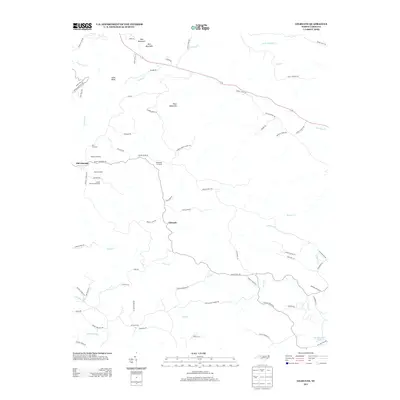
2013 Map of Gilreath
USGS Topo · Published 2013About this map
Old Gilreath and Gilreath anchor this pocket of Wilkes County, where the landscape is defined by the high peaks of the Brushy Mountains and a dense network of fruit production. Numerous family-named agricultural operations, such as Tevepaugh Orchards, Parker's Orchard, and Big R Orchards, are clustered along the winding ridgelines and valley floors, signifying the area's deep-rooted orchard economy. The terrain rises sharply to summits like Pilot Mountain and Rich Mountain, which separate the headwaters of Hunting Creek and Rocky Creek. To the south, the South Yadkin River flows near the community of Vashti, providing a distinct hydrological boundary to this upland region. The map details a complex system of mountain roads, including Vannoy Ridge Road and Brushy Mountain Road, that trace the difficult topography of the Piedmont's western edge.
Find a feature on this map
75 named features on this map. Tap any name to fly to it.
Don’t see what you’re looking for? This feature index may not catch every label — zoom into the map to look around manually.
Map Details
Editions of this 2013 Gilreath Map
This is the sole edition of this map. No revisions or reprints were ever made.
Other maps of this area

1889 · Wilkesboro
USGS Topo · 1:125,000

1891 · Wilkesboro
USGS Topo · 1:125,000

1891 · Yadkinville
USGS Topo · 1:125,000

1893 · Statesville
USGS Topo · 1:125,000

1893 · Yadkinville
USGS Topo · 1:125,000

1895 · Hickory
USGS Topo · 1:125,000

1953 · Charlotte
USGS Topo · 1:250,000

1953 · Winston-Salem
USGS Topo · 1:250,000

1954 · Charlotte
USGS Topo · 1:250,000

1955 · Winston-Salem
USGS Topo · 1:250,000