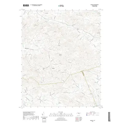
2019 Map of Gilreath
USGS Topo · Published 2019About this map
Gilreath and the older settlement of Old Gilreath anchor this portion of the Brushy Mountains in southern Wilkes County. The landscape is defined by the high ridges of Pilot Mtn, Rich Mtn, and Fitches Knob, which separate the headwaters of numerous southward-flowing streams. This survey documents a complex network of rural routes such as Old Salisbury Rd and Cherry Grove Church Rd that wind through the upland terrain. Genealogists will find several significant burial sites, including Hunting Creek Cem and Old Bethany Cem. Along the southern boundary, the map shows the transition from the mountains into the upper Piedmont, where the S Yadkin River begins its course. The placement of Fox Mountain Lake and various family-named landmarks like Debs Knob provide a detailed look at the rural character of the region during the late 2010s.
Find a feature on this map
85 named features on this map. Tap any name to fly to it.
Don’t see what you’re looking for? This feature index may not catch every label — zoom into the map to look around manually.
Map Details
Editions of this 2019 Gilreath Map
This is the sole edition of this map. No revisions or reprints were ever made.
Other maps of this area

1889 · Wilkesboro
USGS Topo · 1:125,000

1891 · Wilkesboro
USGS Topo · 1:125,000

1891 · Yadkinville
USGS Topo · 1:125,000

1893 · Statesville
USGS Topo · 1:125,000

1893 · Yadkinville
USGS Topo · 1:125,000

1895 · Hickory
USGS Topo · 1:125,000

1953 · Charlotte
USGS Topo · 1:250,000

1953 · Winston-Salem
USGS Topo · 1:250,000

1954 · Charlotte
USGS Topo · 1:250,000

1955 · Winston-Salem
USGS Topo · 1:250,000