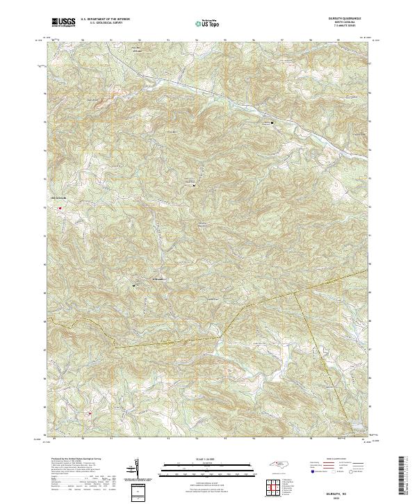
2022 Map of Gilreath
USGS Topo · Published 2022About this map
The Brushy Mountains dominate this section of North Carolina, where the border of Wilkes, Iredell, and Alexander counties meet along winding ridges and creek beds. The landscape is defined by its transition from the heights of Pilot Mtn and Fitches Knob down toward the southern drainage of the S Yadkin River. Settlement patterns are concentrated around Gilreath and the earlier site of Old Gilreath, connected by a network of family-named routes such as Balls Mill Rd and Clint Johnson Rd. For those researching local lineages, the map identifies several significant burial grounds, including the Old Bethany Cem and the Cherry Grove Baptist Church Cem. These features, along with names like Hunting Creek Cem, reflect the deep-rooted rural communities that have long persisted in this topographically complex area of the Piedmont.
Find a feature on this map
88 named features on this map. Tap any name to fly to it.
Don’t see what you’re looking for? This feature index may not catch every label — zoom into the map to look around manually.
Map Details
Editions of this 2022 Gilreath Map
This is the sole edition of this map. No revisions or reprints were ever made.
Other maps of this area

1889 · Wilkesboro
USGS Topo · 1:125,000

1891 · Wilkesboro
USGS Topo · 1:125,000

1891 · Yadkinville
USGS Topo · 1:125,000

1893 · Statesville
USGS Topo · 1:125,000

1893 · Yadkinville
USGS Topo · 1:125,000

1895 · Hickory
USGS Topo · 1:125,000

1953 · Charlotte
USGS Topo · 1:250,000

1953 · Winston-Salem
USGS Topo · 1:250,000

1954 · Charlotte
USGS Topo · 1:250,000

1955 · Winston-Salem
USGS Topo · 1:250,000