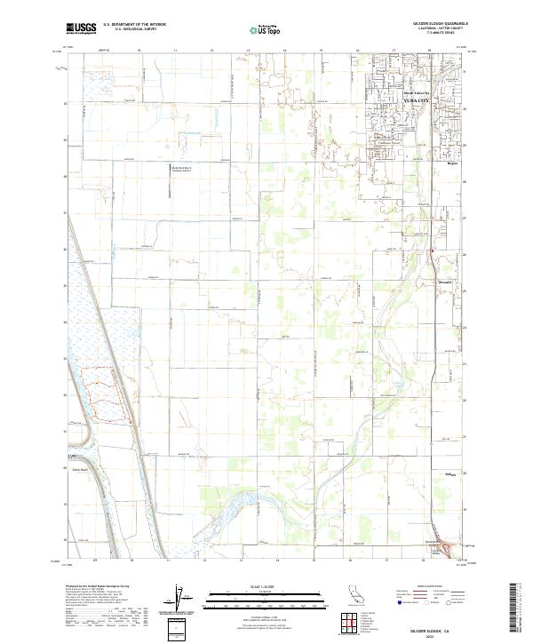
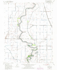
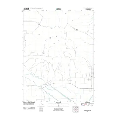
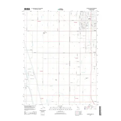
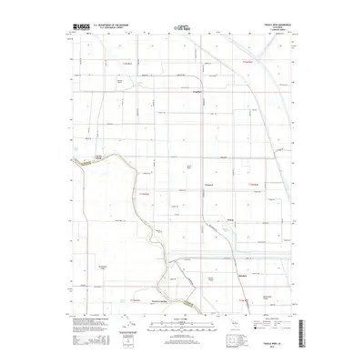
2022 Map of Gilsizer Slough
USGS Topo · Published 2022About this map
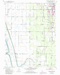
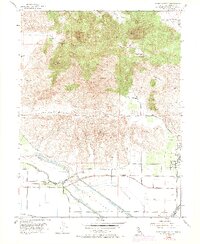
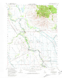
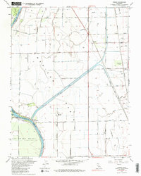
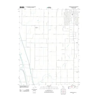
The agricultural plains of the Sacramento Valley define this portion of Sutter County, characterized by a strictly organized grid of irrigation and transport. Yuba City and South Yuba City anchor the northeastern corner, where urban street patterns give way to the expansive holdings of the Sutter Basin. The landscape is a hydraulic network, heavily modified for large-scale farming with features like the Sutter Extension Canel and the winding course of Gilsizer Slough.
Find a feature on this map
97 named features on this map. Tap any name to fly to it.
Don’t see what you’re looking for? This feature index may not catch every label — zoom into the map to look around manually.
Map Details
Editions of this 2022 Gilsizer Slough Map
This is the sole edition of this map. No revisions or reprints were ever made.
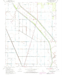
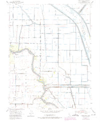
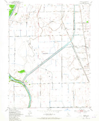
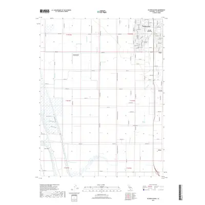
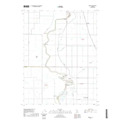
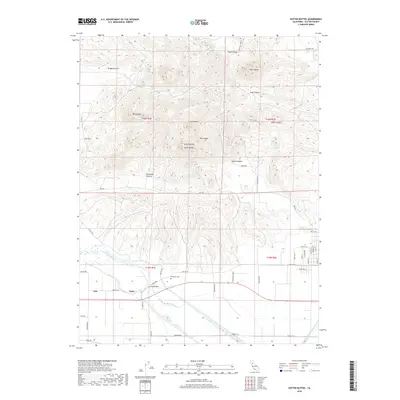
Historical Maps of Yuba City Through Time
38 maps found
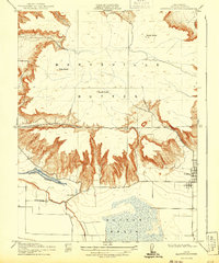
1910 Marcuse
Sutter County, CA
1910 Vernon
Sutter County, CA
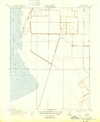
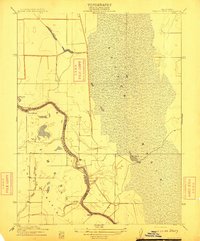
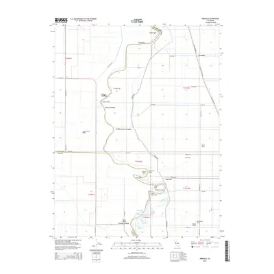
1911 Gilsizer Slough
Sutter County, CA
1912 Marysville Buttes
Sutter County, CA
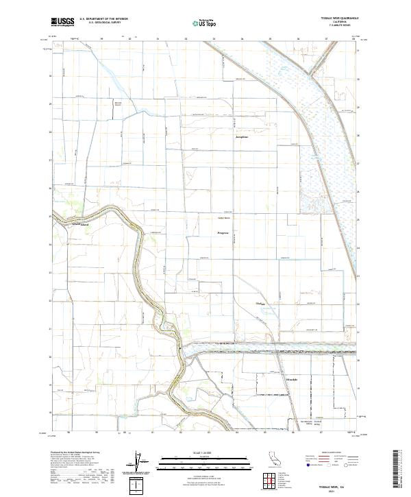
1912 Tisdale Weir
Sutter County, CA
1915 Kirkville
Sutter County, CA
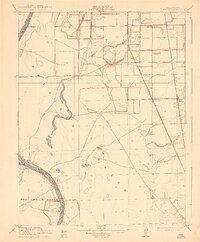
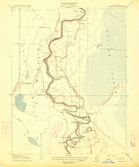
1952 Gilsizer Slough
Sutter County, CA
1952 Kirkville
Sutter County, CA
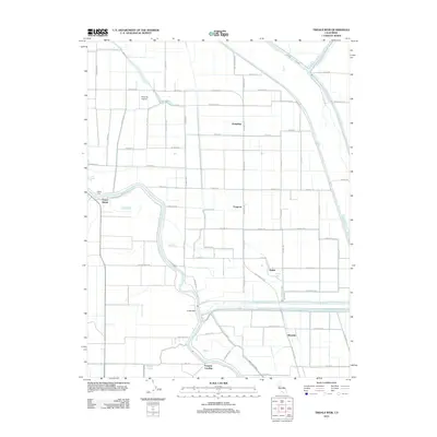
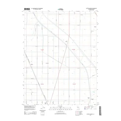
1952 Sutter Causeway
Sutter County, CA
1952 Tisdale Weir
Sutter County, CA
1952 Verona
Sutter County, CA
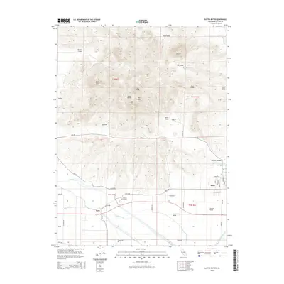
1954 Sutter Buttes
Sutter County, CA
1954 Sutter Buttes
Sutter County, CA
1967 Verona
Sutter County, CA
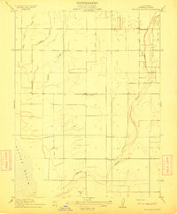
2012 Gilsizer Slough
Sutter County, CA

2012 Kirkville
Sutter County, CA
2012 Sutter Buttes
Sutter County, CA
2012 Sutter Causeway
Sutter County, CA
2012 Tisdale Weir
Sutter County, CA
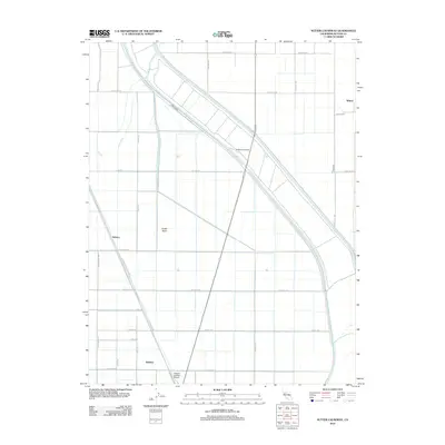
2012 Verona
Sutter County, CA
2015 Gilsizer Slough
Sutter County, CA
2015 Kirkville
Sutter County, CA
2015 Sutter Buttes
Sutter County, CA
2015 Sutter Causeway
Sutter County, CA
2015 Tisdale Weir
Sutter County, CA

2015 Verona
Sutter County, CA
2018 Gilsizer Slough
Sutter County, CA
2018 Kirkville
Sutter County, CA
2018 Sutter Buttes
Sutter County, CA
2018 Sutter Causeway
Sutter County, CA
2018 Tisdale Weir
Sutter County, CA
2018 Verona
Sutter County, CA

2021 Sutter Buttes
Sutter County, CA
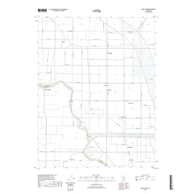
2021 Tisdale Weir
Sutter County, CA
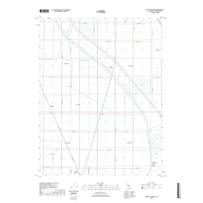
2022 Gilsizer Slough
Sutter County, CA
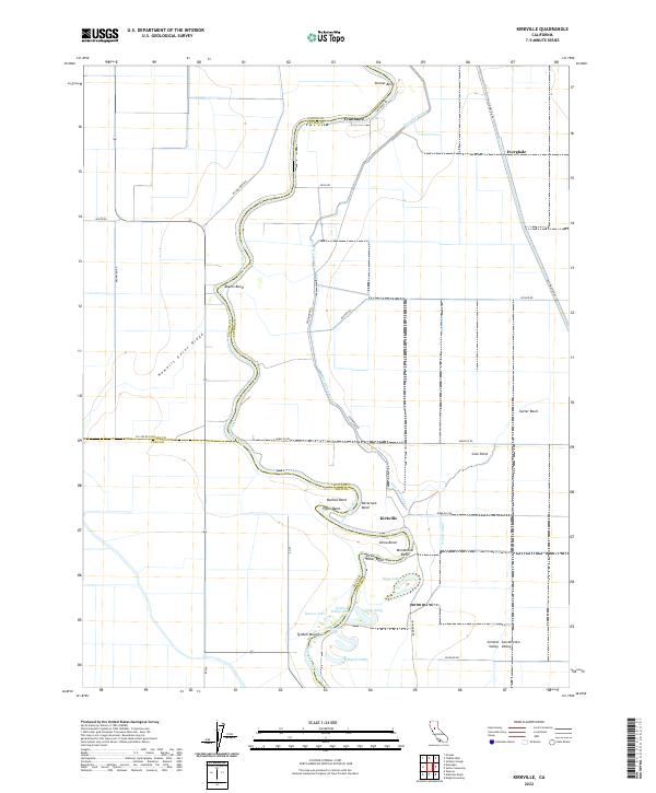
2022 Kirkville
Sutter County, CA
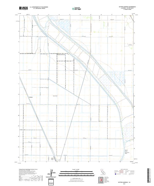
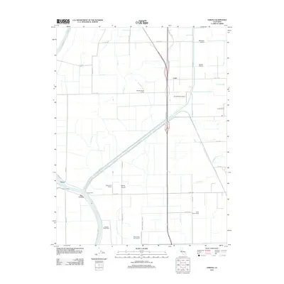
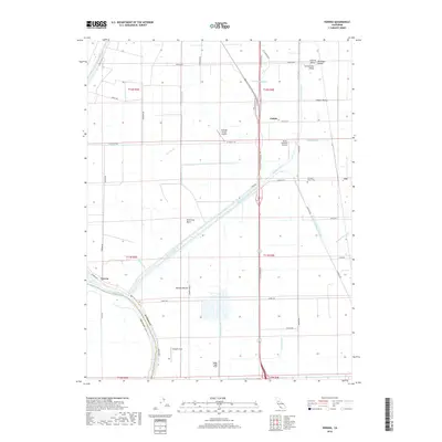
2022 Sutter Causeway
Sutter County, CA
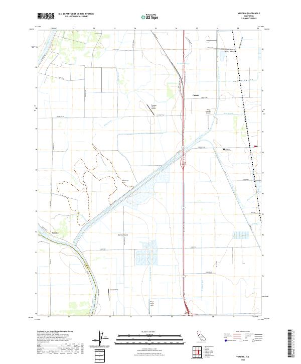
2022 Verona
Sutter County, CA