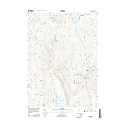
2015 Map of Gilsum
USGS Topo · Published 2015About this map
Lake Warren and the small valley settlements of the northern Cheshire County highlands define this mid-2010s landscape. The map details the rural character of communities like East Alstead, Alstead Center, and Mill Hollow along the northern edge, transitioning south through Shaws Corner and Roundys Corner toward the Ashuelot River. The village of Gilsum is a focal point near the eastern boundary, notable for the nearby Gilsum Stone Arch Bridge, a significant local landmark.
Find a feature on this map
116 named features on this map. Tap any name to fly to it.
Don’t see what you’re looking for? This feature index may not catch every label — zoom into the map to look around manually.
Map Details
Editions of this 2015 Gilsum Map
This is the sole edition of this map. No revisions or reprints were ever made.
Other maps of this area

1898 · Monadnock
USGS Topo · 1:62,500

1898 · Keene
USGS Topo · 1:62,500

1927 · Bellows Falls
USGS Topo · 1:48,000

1930 · Lovewell Mountain
USGS Topo · 1:62,500

1930 · Bellows Falls
USGS Topo · 1:62,500

1932 · Keene
USGS Topo · 1:62,500
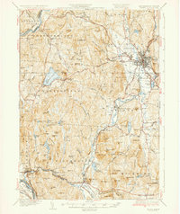
1935 · Keene
USGS Topo · 1:62,500

1936 · Monadnock
USGS Topo · 1:62,500

1942 · Keene
USGS Topo · 1:125,000

1942 · Lovewell Mountain
USGS Topo · 1:62,500