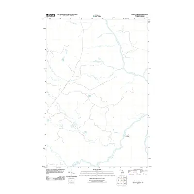
2011 Map of Gimlet Creek
USGS Topo · Published 2011About this map
The Tahquamenon River winds through this section of the Upper Peninsula, defining the drainage patterns of a landscape dense with low-lying wetlands and seasonal watercourses. The river serves as a primary geographical anchor, joined by the Hendrie River and numerous tributaries like Savage Creek and Freeman Creek. Human presence is sparse, centered primarily around Betty B Landing on the riverbank and the linear track of Charcoal Grade Rd, which cuts across the northern interior. Small, isolated bodies of water such as Island Lake, Laurel Lake, and Gimlet Lake are scattered throughout the territory. The network of creeks, including the North Branch Murphy Creek and Auger Creek, suggests a complex hydrologic environment where land and water frequently intermingle.
Find a feature on this map
15 named features on this map. Tap any name to fly to it.
Don’t see what you’re looking for? This feature index may not catch every label — zoom into the map to look around manually.
Map Details
Editions of this 2011 Gimlet Creek Map
This is the sole edition of this map. No revisions or reprints were ever made.
Other maps of this area

1951 · Big Beaver Creek
USGS Topo · 1:24,000

1951 · Hulbert
USGS Topo · 1:24,000

1951 · Timberlost
USGS Topo · 1:24,000

1951 · Eckerman
USGS Topo · 1:62,500

1951 · Shelldrake
USGS Topo · 1:62,500

1954 · Sault Sainte Marie
USGS Topo · 1:250,000

1956 · Sault Sainte Marie
USGS Topo · 1:250,000

1957 · Sault Sainte Marie
USGS Topo · 1:250,000

1958 · Sault Sainte Marie
USGS Topo · 1:250,000

1968 · Betsy Lake SW
USGS Topo · 1:24,000