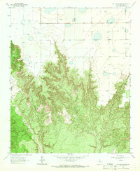
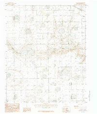
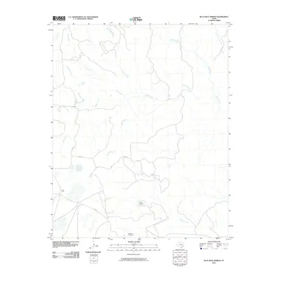
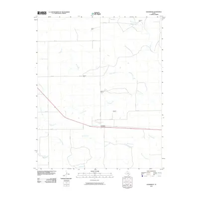
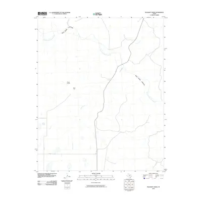
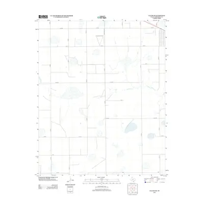
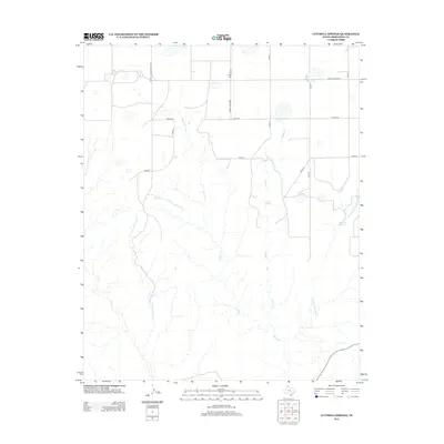
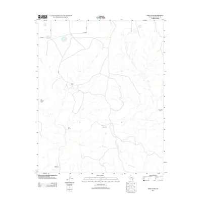
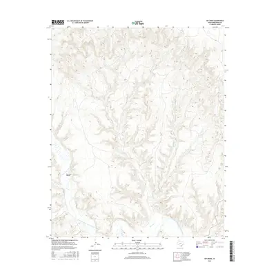
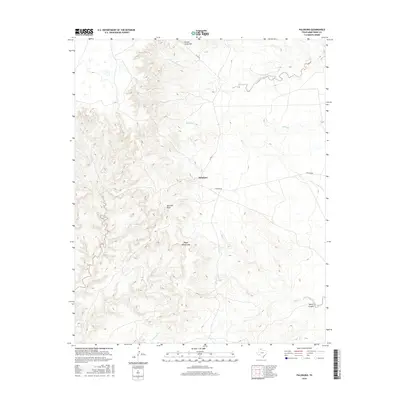
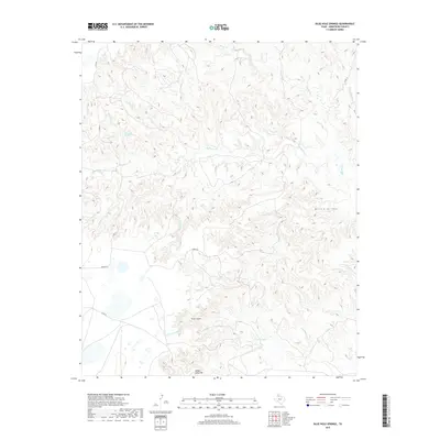
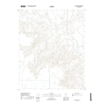
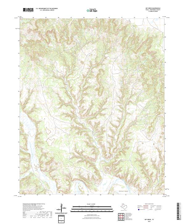
1963 Map of Gip Creek
USGS Topo · Published 1966About this map
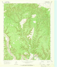
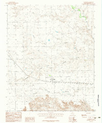
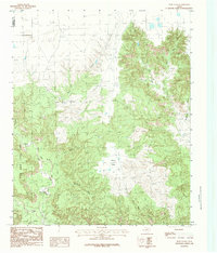
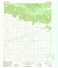
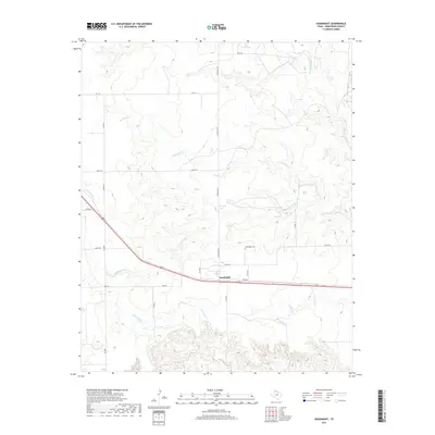
The Prairie Dog Town Fork Red River snakes across the southern corner of this Armstrong County landscape, carving into the dramatic formations of Palo Duro Canyon. This 1963 field-checked survey reveals a remote ranching environment defined by steep escarpments and winding drainage systems. Several primary tributaries, including Gip Creek, Wagon Creek, and Coyote Cr, feed into the river valley, illustrating the complex erosion patterns typical of the Texas Panhandle's rimrock country.
Find a feature on this map
8 named features on this map. Tap any name to fly to it.
Don’t see what you’re looking for? This feature index may not catch every label — zoom into the map to look around manually.
Map Details
Editions of this 1963 Gip Creek Map
This is the sole edition of this map. No revisions or reprints were ever made.
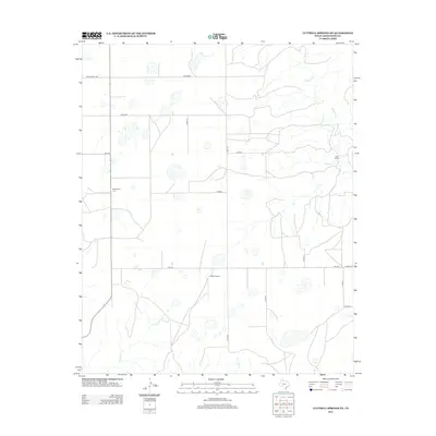
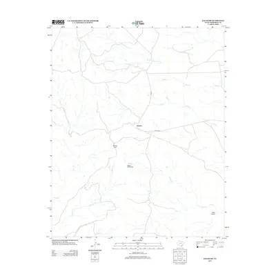
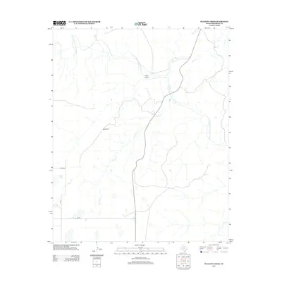
Historical Maps of Armstrong County Through Time
67 maps found
1960 Fairview
Armstrong County, TX
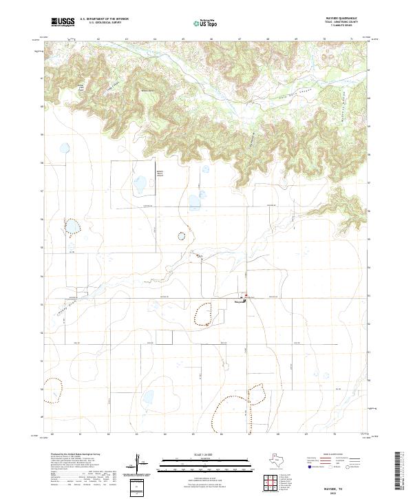
1960 Wayside
Armstrong County, TX
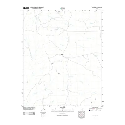
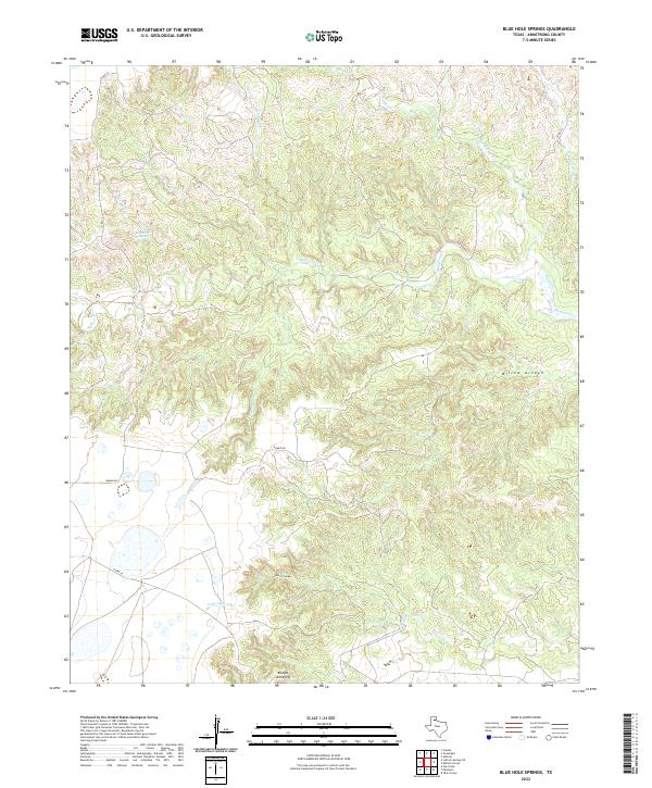
1963 Blue Hole Springs
Armstrong County, TX
1963 Gip Creek
Armstrong County, TX
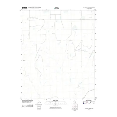
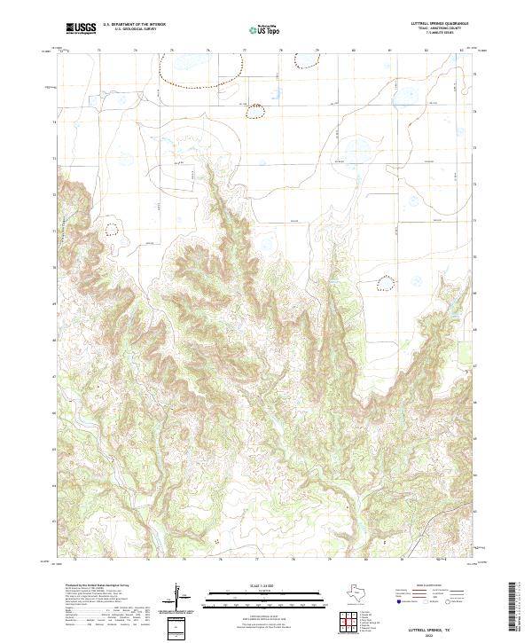
1963 Luttrell Springs
Armstrong County, TX
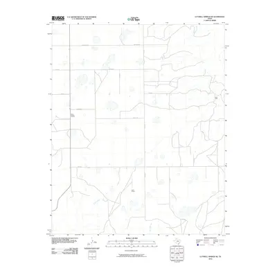
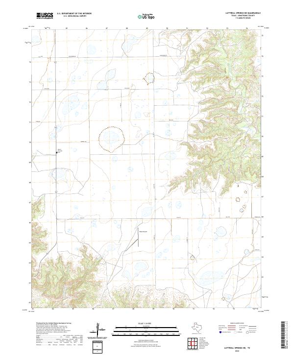
1963 Luttrell Springs NE
Armstrong County, TX
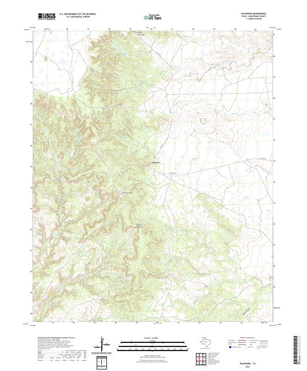
1963 Paloduro
Armstrong County, TX
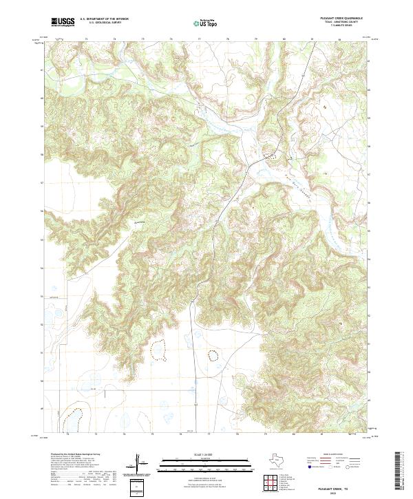
1963 Pleasant Creek
Armstrong County, TX
1983 Claude SW
Armstrong County, TX
1983 Goodnight
Armstrong County, TX
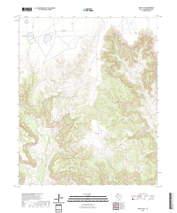
1984 Pony Flats
Armstrong County, TX
1984 Wayside
Armstrong County, TX
2010 Blue Hole Springs
Armstrong County, TX
2010 Claude SW
Armstrong County, TX
2010 Fairview
Armstrong County, TX
2010 Gip Creek
Armstrong County, TX
2010 Goodnight
Armstrong County, TX
2010 Luttrell Springs
Armstrong County, TX
2010 Luttrell Springs NE
Armstrong County, TX
2010 Paloduro
Armstrong County, TX
2010 Pleasant Creek
Armstrong County, TX
2010 Pony Flats
Armstrong County, TX
2010 Wayside
Armstrong County, TX
2012 Blue Hole Springs
Armstrong County, TX
2012 Claude SW
Armstrong County, TX
2012 Fairview
Armstrong County, TX
2012 Gip Creek
Armstrong County, TX
2012 Goodnight
Armstrong County, TX
2012 Luttrell Springs
Armstrong County, TX
2012 Luttrell Springs NE
Armstrong County, TX
2012 Paloduro
Armstrong County, TX
2012 Pleasant Creek
Armstrong County, TX
2012 Pony Flats
Armstrong County, TX
2012 Wayside
Armstrong County, TX
2016 Blue Hole Springs
Armstrong County, TX
2016 Claude SW
Armstrong County, TX

2016 Fairview
Armstrong County, TX
2016 Gip Creek
Armstrong County, TX
2016 Goodnight
Armstrong County, TX
2016 Luttrell Springs
Armstrong County, TX
2016 Luttrell Springs NE
Armstrong County, TX
2016 Paloduro
Armstrong County, TX
2016 Pleasant Creek
Armstrong County, TX
2016 Pony Flats
Armstrong County, TX
2016 Wayside
Armstrong County, TX
2019 Blue Hole Springs
Armstrong County, TX
2019 Claude SW
Armstrong County, TX
2019 Fairview
Armstrong County, TX
2019 Gip Creek
Armstrong County, TX
2019 Goodnight
Armstrong County, TX
2019 Luttrell Springs
Armstrong County, TX
2019 Luttrell Springs NE
Armstrong County, TX
2019 Paloduro
Armstrong County, TX
2019 Pleasant Creek
Armstrong County, TX
2019 Pony Flats
Armstrong County, TX
2019 Wayside
Armstrong County, TX
2022 Blue Hole Springs
Armstrong County, TX
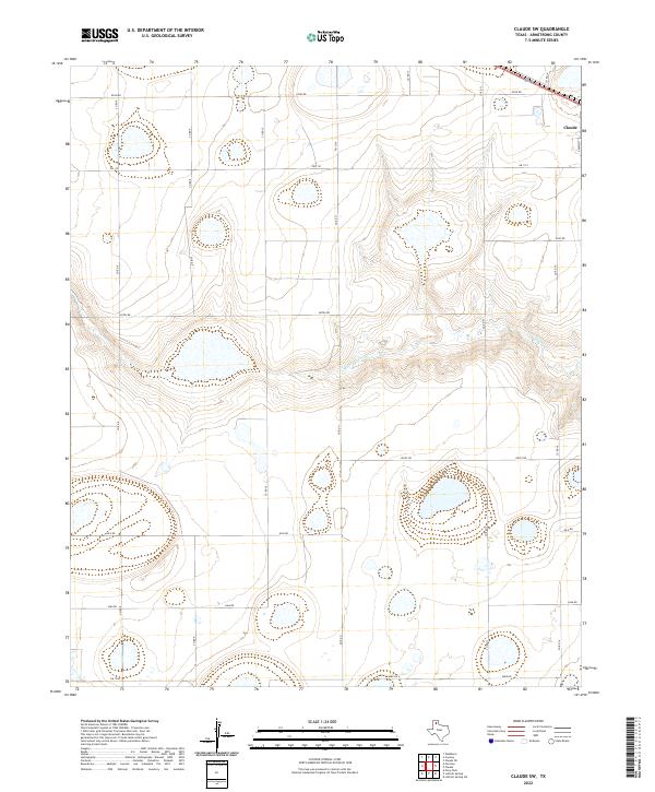
2022 Claude SW
Armstrong County, TX
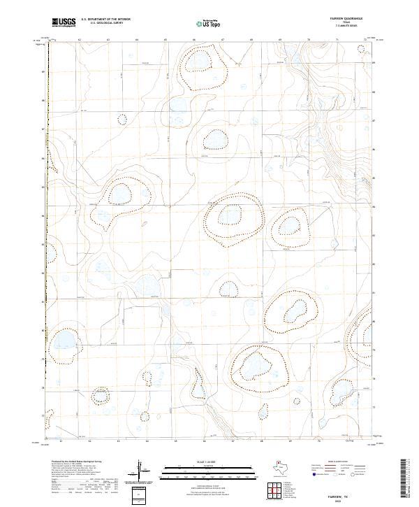
2022 Fairview
Armstrong County, TX
2022 Gip Creek
Armstrong County, TX
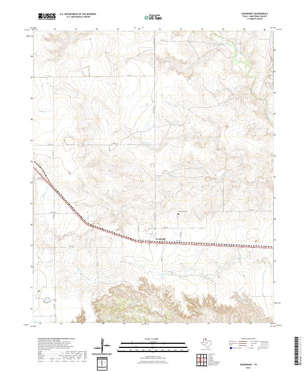
2022 Goodnight
Armstrong County, TX
2022 Luttrell Springs
Armstrong County, TX
2022 Luttrell Springs NE
Armstrong County, TX
2022 Paloduro
Armstrong County, TX
2022 Pleasant Creek
Armstrong County, TX
2022 Pony Flats
Armstrong County, TX
2022 Wayside
Armstrong County, TX