
1963 Map of Pleasant Creek
USGS Topo · Published 1966About this map
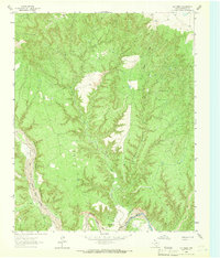
Palo Duro Canyon dominates this 1963 landscape, where the deeply eroded escarpment meets the high plains of Armstrong County. The Prairie Dog Town Fork Red River snakes through the canyon floor, joined by tributaries like the Salt Fork and Coyote Creek. This survey captures the region's ranching and agricultural character, evident in the network of windmills and numerous Well sites scattered across the southern plateau.
Find a feature on this map
13 named features on this map. Tap any name to fly to it.
Don’t see what you’re looking for? This feature index may not catch every label — zoom into the map to look around manually.
Map Details
Editions of this 1963 Pleasant Creek Map
This is the sole edition of this map. No revisions or reprints were ever made.
Other maps of this area

1954 · Plainview
USGS Topo · 1:250,000

1958 · Plainview
USGS Topo · 1:250,000

1960 · Wayside
USGS Topo · 1:62,500

1963 · Luttrell Springs
USGS Topo · 1:24,000

1963 · Luttrell Springs NE
USGS Topo · 1:24,000
1963 · Gip Creek
USGS Topo · 1:24,000

1965 · Big Betty Reservoir
USGS Topo · 1:24,000

1965 · Vigo Park
USGS Topo · 1:24,000

1969 · Jackson Hill
USGS Topo · 1:24,000
1984 · Pony Flats
USGS Topo · 1:24,000