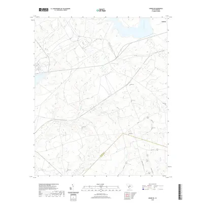
2020 Map of Girard NE
USGS Topo · Published 2020About this map
Snelling occupies the northeastern corner of this landscape, situated above a network of waterways that define the border region between Barnwell and Allendale counties. The terrain is marked by numerous family-named burial sites, including Singleton Cem, Dunbar Cem, and Walker Cem, which provide significant points of interest for genealogical research in this part of South Carolina.
Find a feature on this map
20 named features on this map. Tap any name to fly to it.
Don’t see what you’re looking for? This feature index may not catch every label — zoom into the map to look around manually.
Map Details
Editions of this 2020 Girard NE Map
This is the sole edition of this map. No revisions or reprints were ever made.
Other maps of this area

1919 · Allendale
USGS Topo · 1:62,500

1920 · Ellenton
USGS Topo · 1:48,000

1920 · Talatha
USGS Topo · 1:48,000

1921 · Talatha
USGS Topo · 1:62,500

1921 · Ellenton
USGS Topo · 1:62,500

1923 · Williston
USGS Topo · 1:48,000

1927 · Williston
USGS Topo · 1:62,500

1943 · Allendale
USGS Topo · 1:62,500

1943 · Augusta East
USGS Topo · 1:125,000

1943 · Williston
USGS Topo · 1:62,500