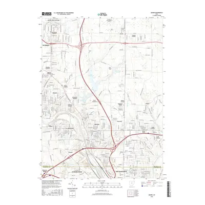
2016 Map of Girard
USGS Topo · Published 2016About this map
The Mahoning River corridor serves as the industrial and residential spine for this region of Northeast Ohio, connecting the manufacturing centers of Girard, Niles, and Youngstown. The landscape is a complex pattern of dense urban neighborhoods and more open terrain, heavily marked by the water management systems of Upper Girard Lake and Lower Girard Lake. This 2016 survey documents the mature state of the Mahoning Valley’s development, where modern highways like the Youngstown Kingsville Rd intersect with historic crossroads at Churchill, Sodom, and Tibbetts Corners. Genealogists will find a dense concentration of burial sites reflecting the area's diverse ethnic and religious history, including the Tod Homestead Cem, Anshe Emeth Cem, and the Children of Israel Cem. Academic landmarks like the ETI Technical Coll and National Coll highlight the region's focus on specialized education and vocational training.
Find a feature on this map
314 named features on this map. Tap any name to fly to it.
Don’t see what you’re looking for? This feature index may not catch every label — zoom into the map to look around manually.
Map Details
Editions of this 2016 Girard Map
This is the sole edition of this map. No revisions or reprints were ever made.
Other maps of this area

1905 · Bristolville
USGS Topo · 1:62,500

1906 · Youngstown
USGS Topo · 1:62,500

1907 · Kinsman
USGS Topo · 1:62,500

1907 · Bristolville
USGS Topo · 1:62,500

1908 · Youngstown
USGS Topo · 1:62,500

1908 · Warren
USGS Topo · 1:62,500

1950 · Cleveland
USGS Topo · 1:250,000

1951 · Campbell
USGS Topo · 1:24,000

1951 · Youngstown
USGS Topo · 1:24,000

1952 · Canfield
USGS Topo · 1:24,000