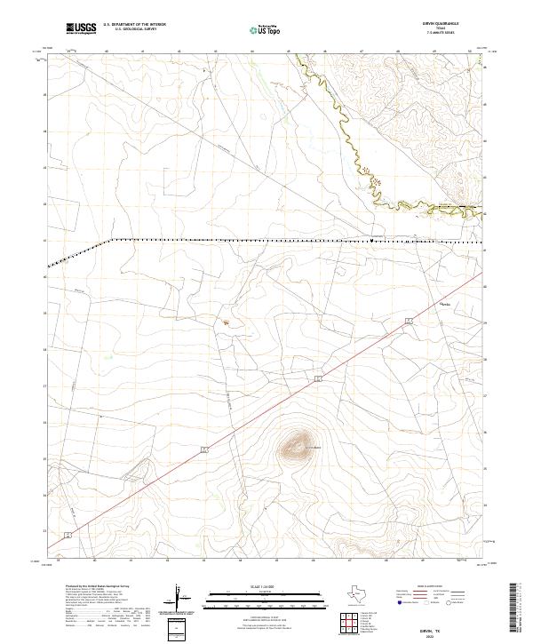
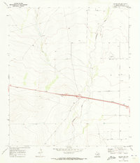
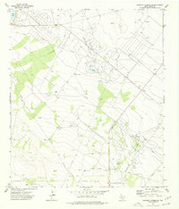
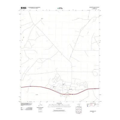
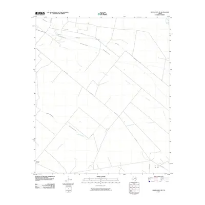
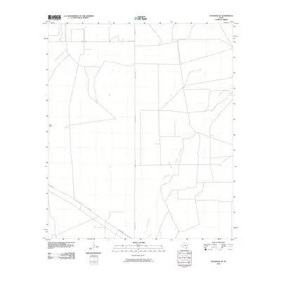
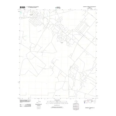
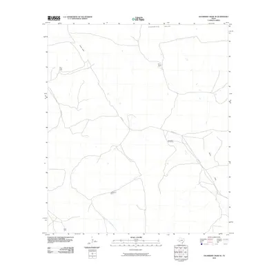
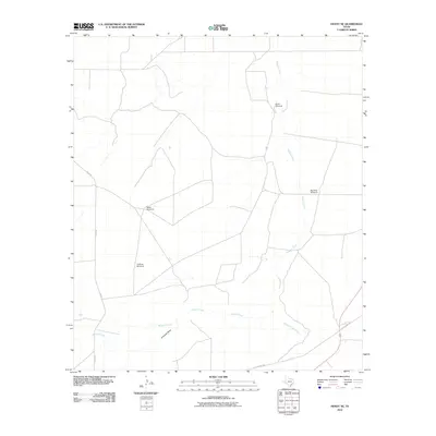
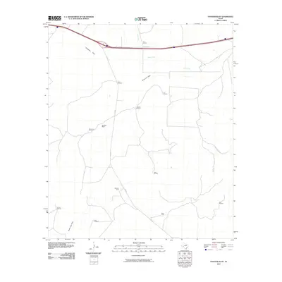
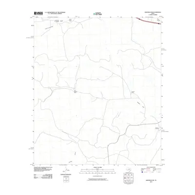
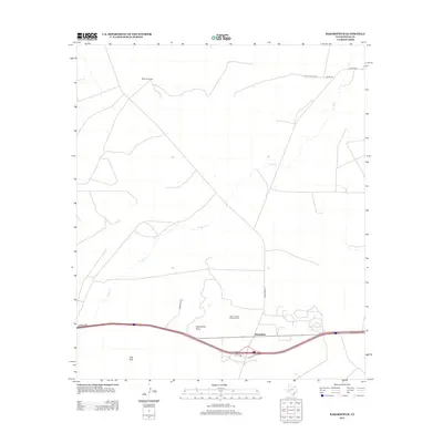
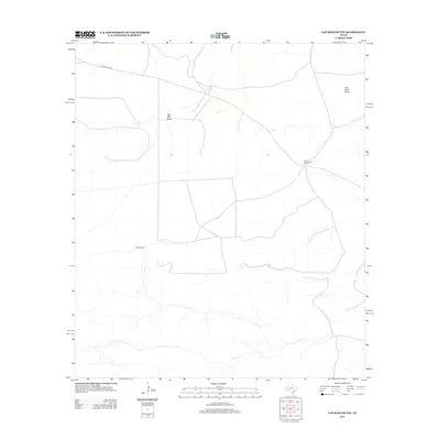
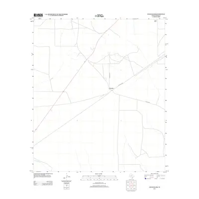
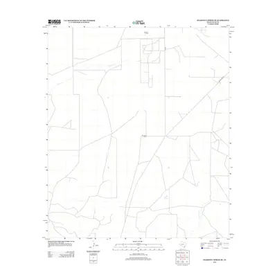
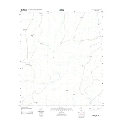
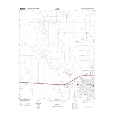
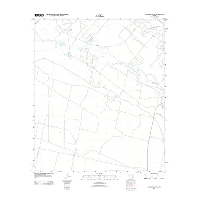
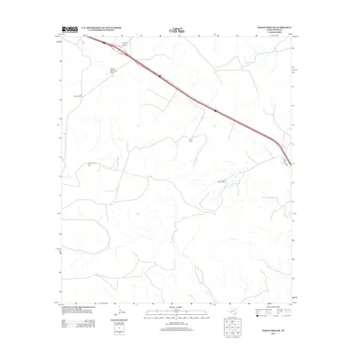
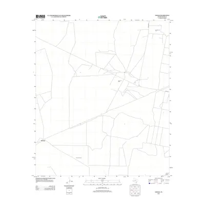
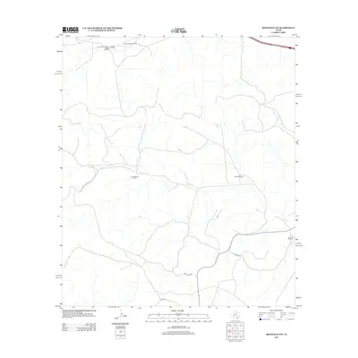
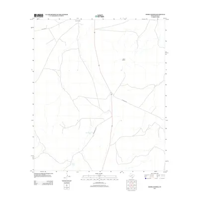
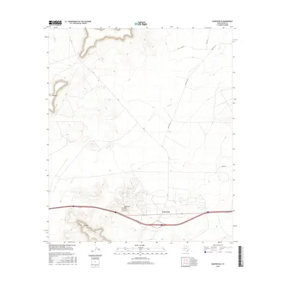
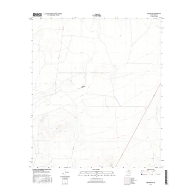
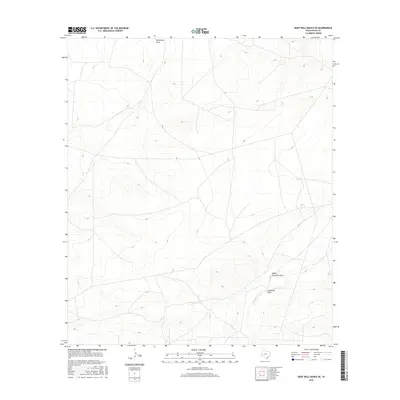
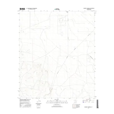
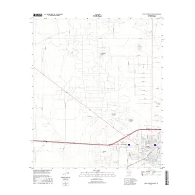
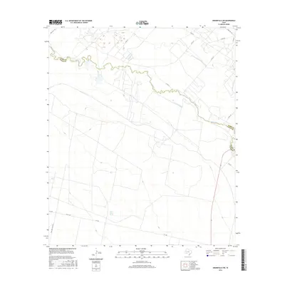
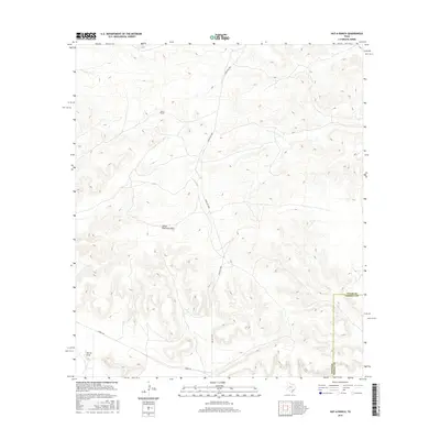
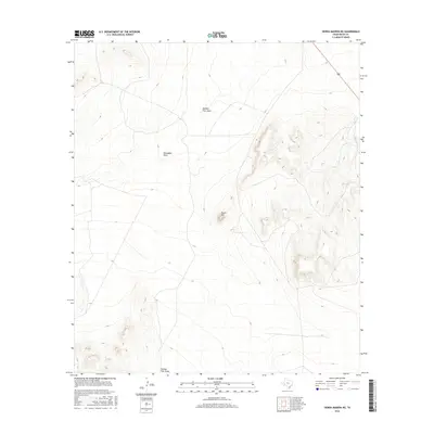
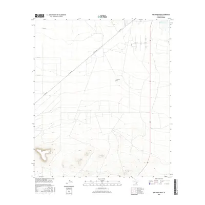
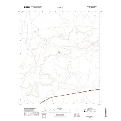
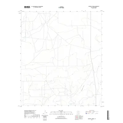
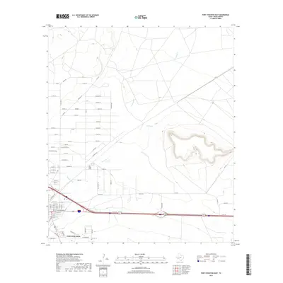
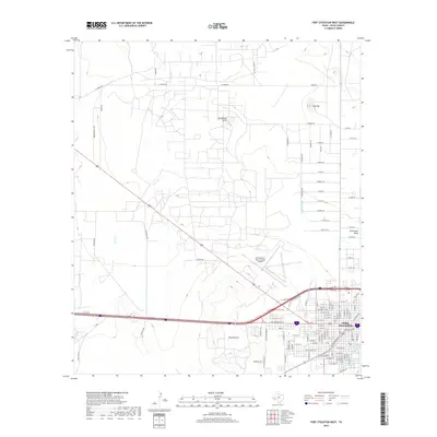
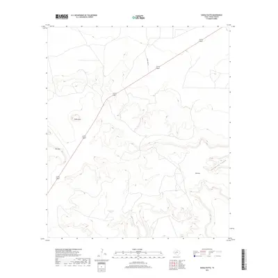
2022 Map of Girvin
USGS Topo · Published 2022About this map
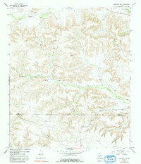
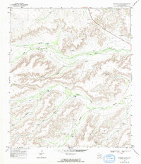
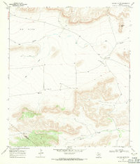
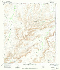
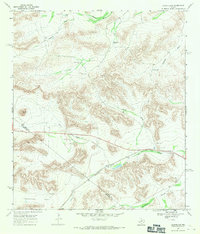
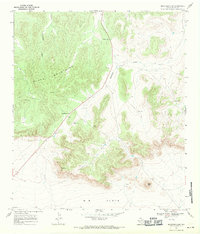
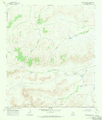
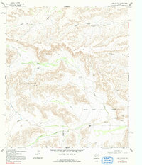
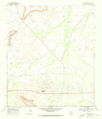
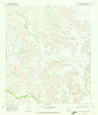
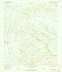
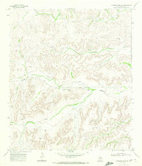
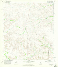
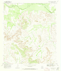
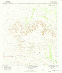
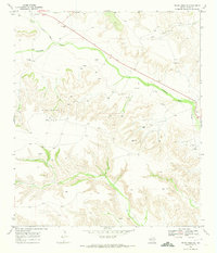
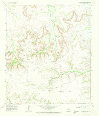
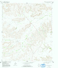
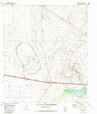
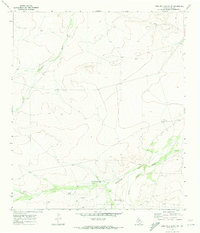
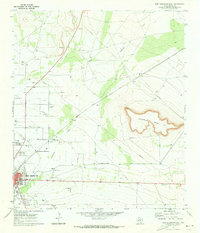
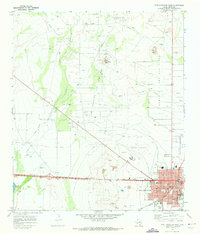
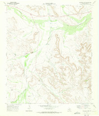
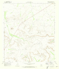
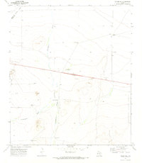
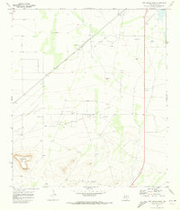
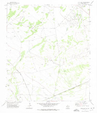
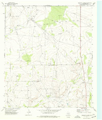
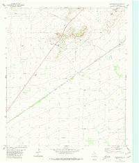
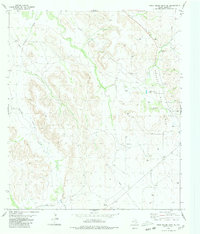
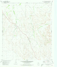
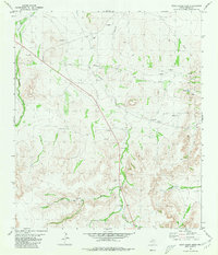
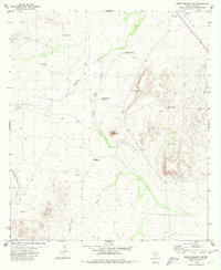
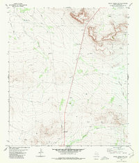
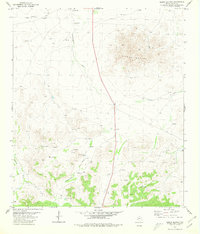
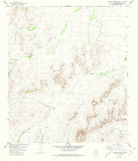
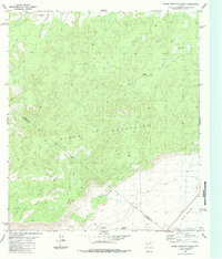
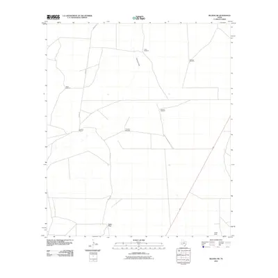
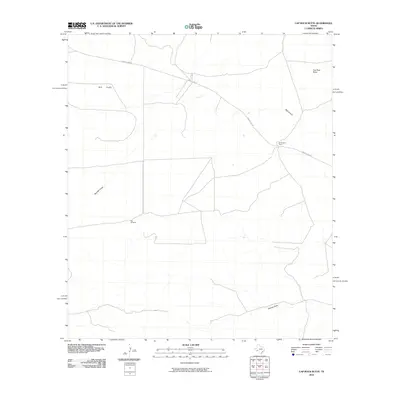
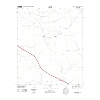
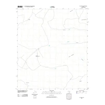
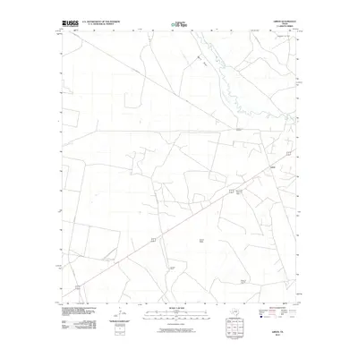
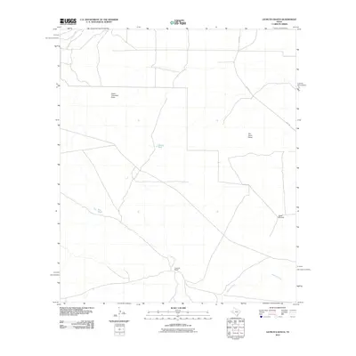
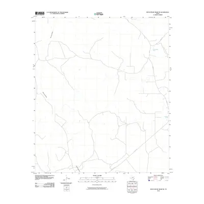
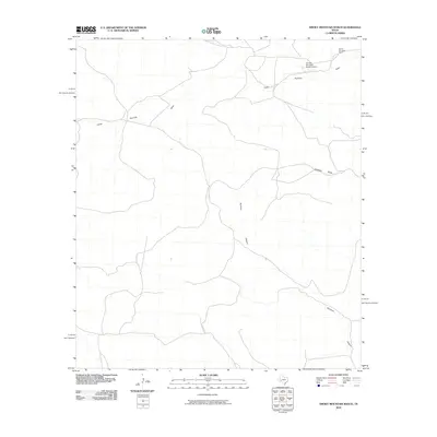
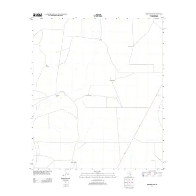
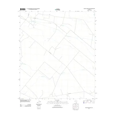
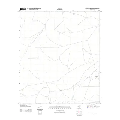
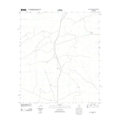
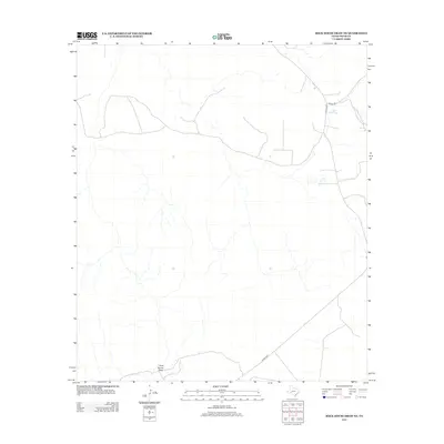
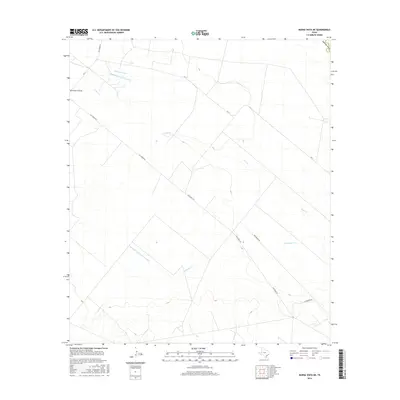
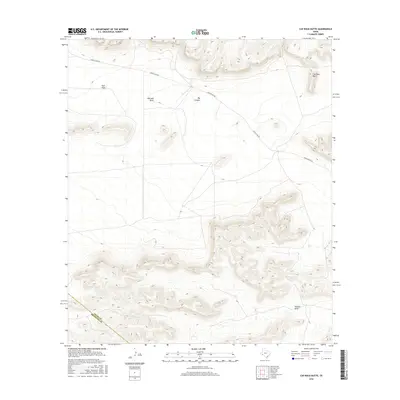
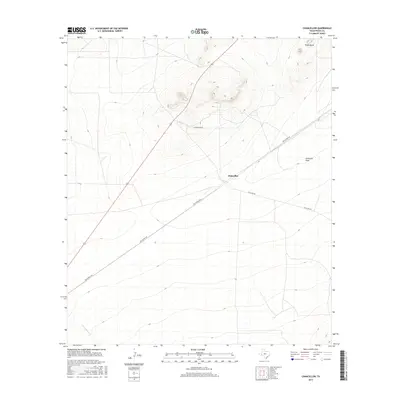
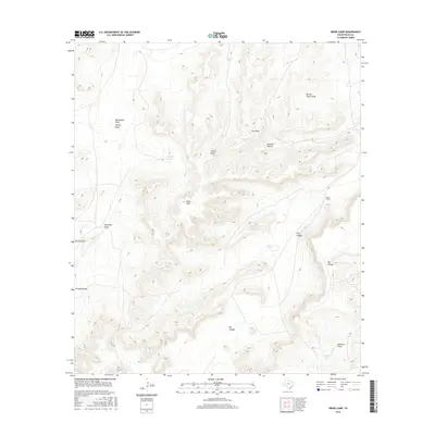
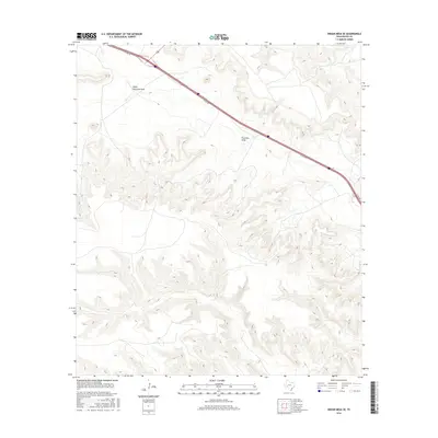
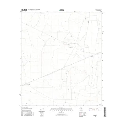
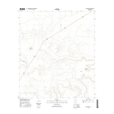
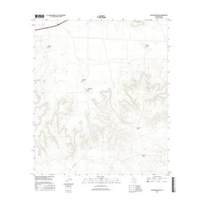
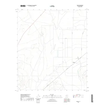
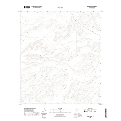
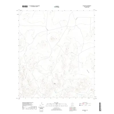
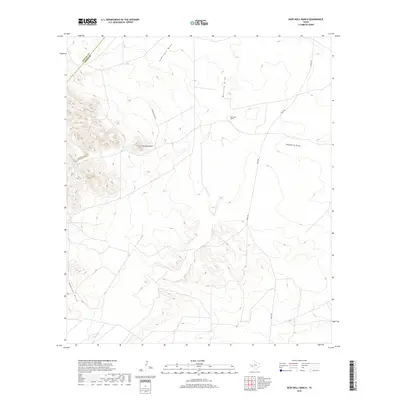
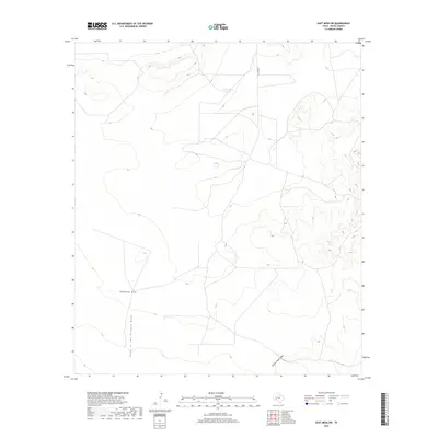
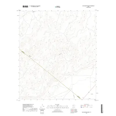
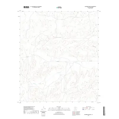
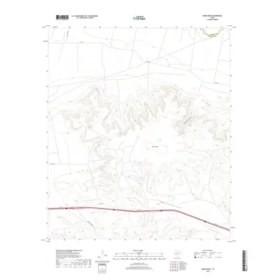
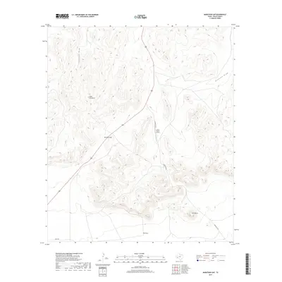
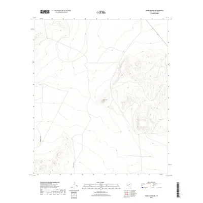
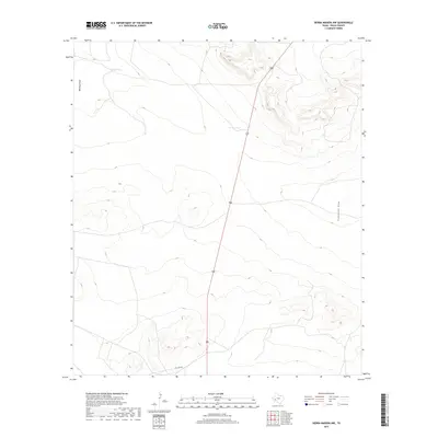
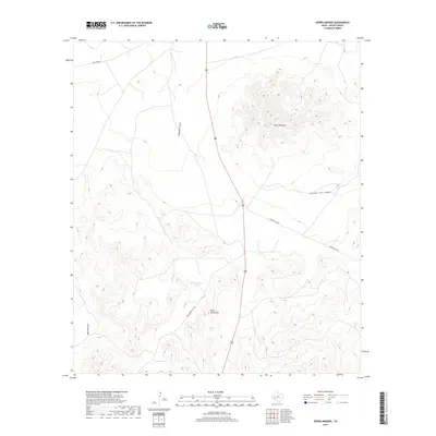
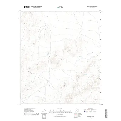
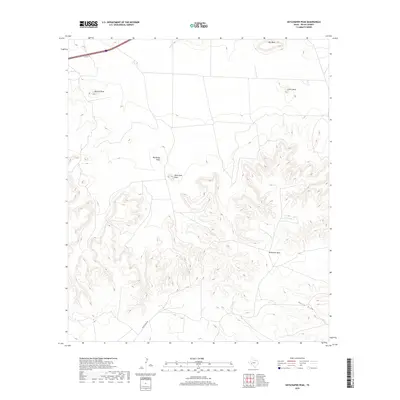
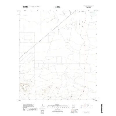
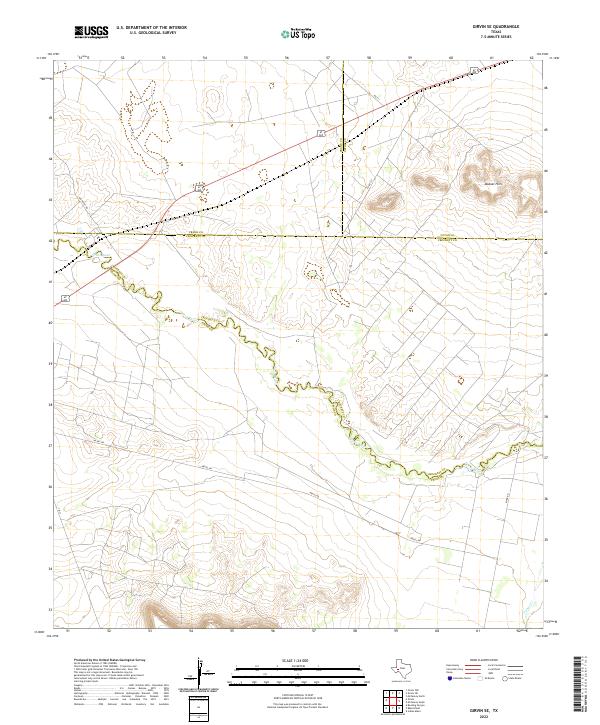
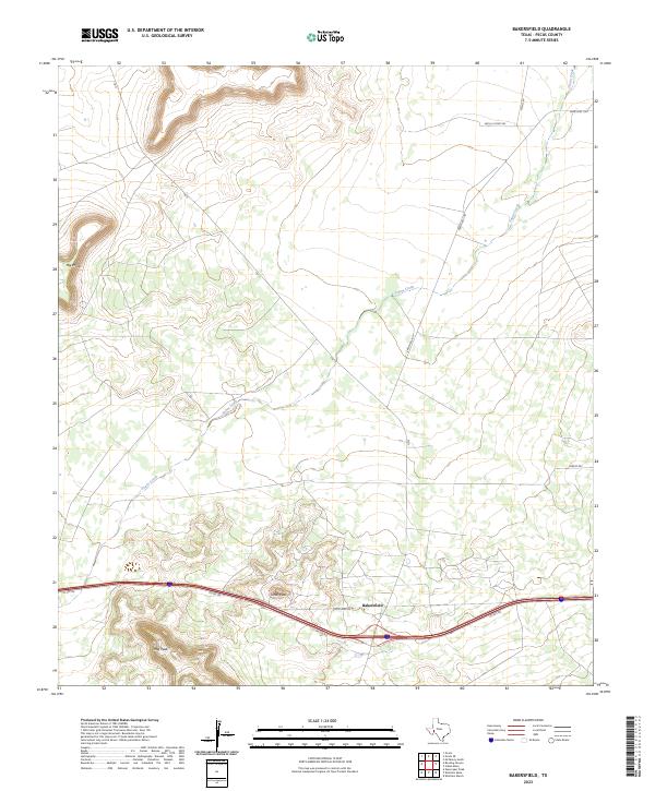
Girvin sits at a strategic West Texas junction where high-desert ranching and energy production meet the winding course of the Pecos River. This 2022 survey captures a landscape defined by sharp elevation changes and industrial infrastructure, most notably south of the town where Girvin Butte rises as a prominent landmark. The community's history is tied to the transit corridors of FM 11 and Old Girvin Rd, serving as a gateway for local commerce and the oil industry, evidenced by the presence of the Crane Oil Lease Rd.
Find a feature on this map
14 named features on this map. Tap any name to fly to it.
Don’t see what you’re looking for? This feature index may not catch every label — zoom into the map to look around manually.
Map Details
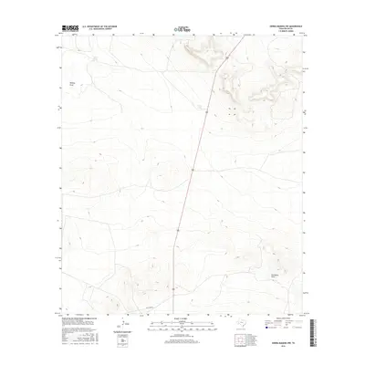
Editions of this 2022 Girvin Map
This is the sole edition of this map. No revisions or reprints were ever made.
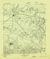
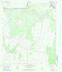
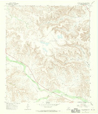
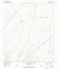
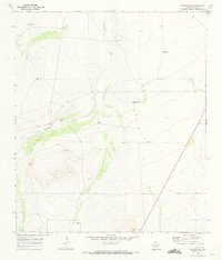
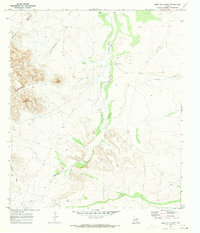
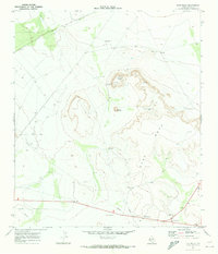
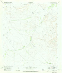
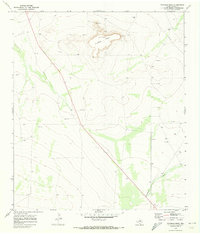
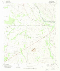
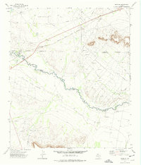
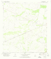
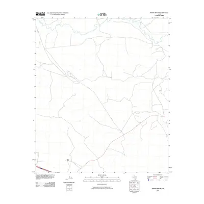
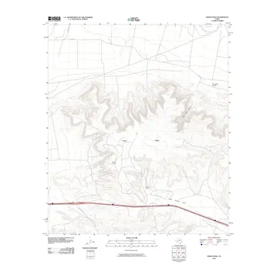
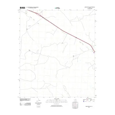
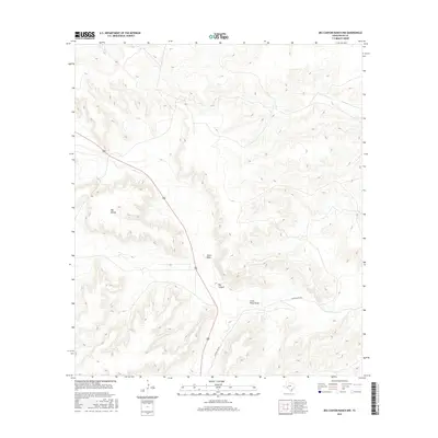
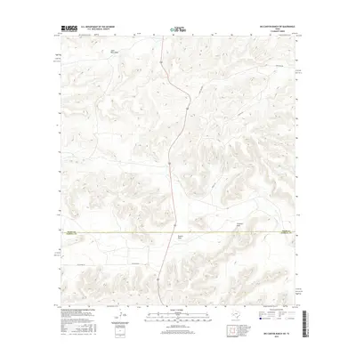
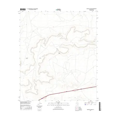
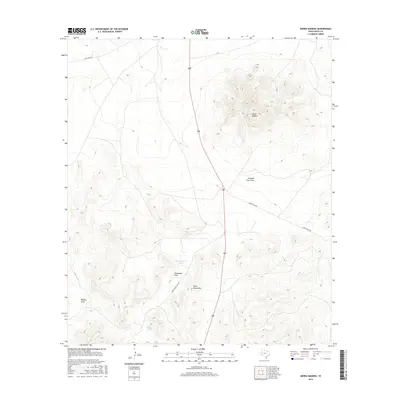
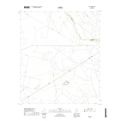
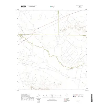
Historical Maps of Girvin Through Time
417 maps found

1920 Longfellow
Pecos County, TX
1928 Comanche Spring
Pecos County, TX

1929 Hovey
Pecos County, TX

1929 Independence Draw Quadrangle
Pecos County, TX
1963 Rio Pecos Ranch
Pecos County, TX
1967 Divide Country
Pecos County, TX
1967 Sheffield NW
Pecos County, TX
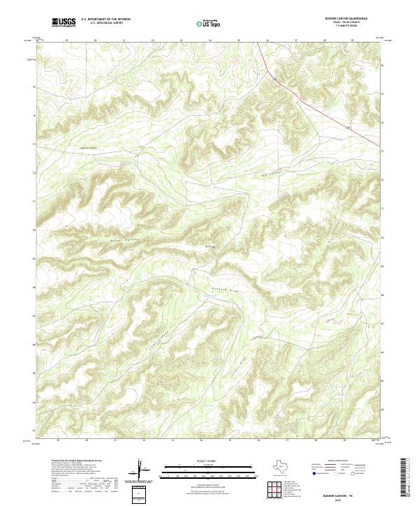
1968 Busher Canyon
Pecos County, TX
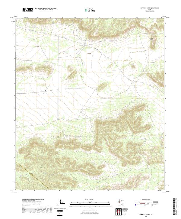
1968 Cap Rock Butte
Pecos County, TX
1968 Ebers Camp
Pecos County, TX

1968 F C Ranch
Pecos County, TX
1968 Longfellow
Pecos County, TX
1968 Marathon Gap
Pecos County, TX
1968 Reininger Draw
Pecos County, TX
1968 Toms Canyon
Pecos County, TX
1969 Bakersfield
Pecos County, TX
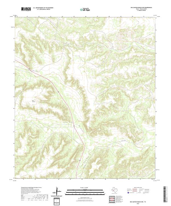
1969 Big Canyon Ranch NW
Pecos County, TX
1969 Big Canyon Ranch SW
Pecos County, TX
1969 Bootleg Canyon
Pecos County, TX
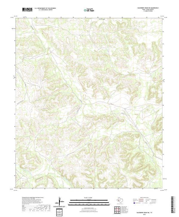
1969 Hackberry Draw NE
Pecos County, TX
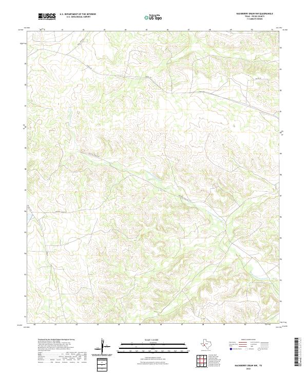
1969 Hackberry Draw NW
Pecos County, TX
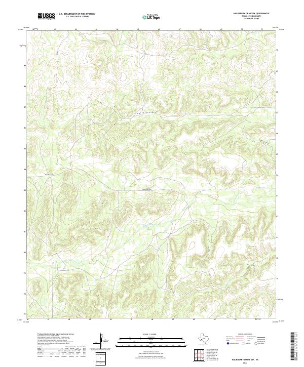
1969 Hackberry Draw SW
Pecos County, TX
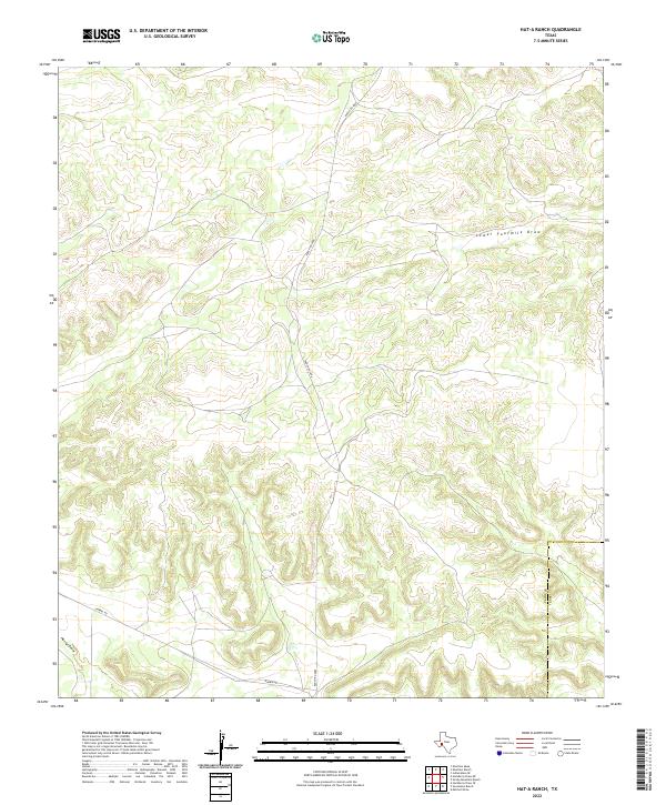
1969 Hat-A Ranch
Pecos County, TX
1969 Indian Mesa NE
Pecos County, TX
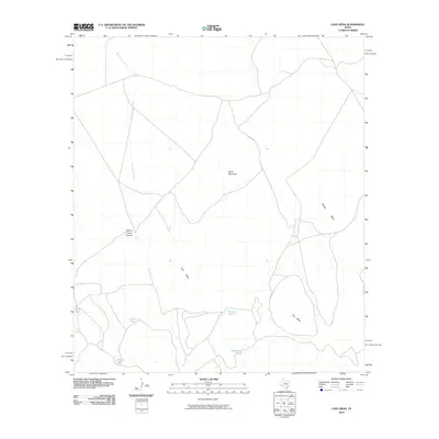
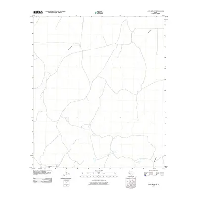
1969 Indian Mesa
Pecos County, TX
1969 Indian Mesa SE
Pecos County, TX
1969 Sherbino Mesa
Pecos County, TX
1969 Sherbino Ranch
Pecos County, TX
1969 Skyscraper Peak
Pecos County, TX
1969 Smoky Mountain Ranch
Pecos County, TX
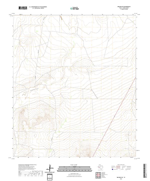
1970 Belding NE
Pecos County, TX
1970 Belding NW
Pecos County, TX
1970 Belding
Pecos County, TX
1970 Belding SW
Pecos County, TX
1970 Deep Well Ranch
Pecos County, TX
1970 Deep Well Ranch SE
Pecos County, TX
1970 East Mesa
Pecos County, TX
1970 East Mesa SW
Pecos County, TX
1970 Fivemile Mesa
Pecos County, TX
1970 Fort Stockton East
Pecos County, TX
1970 Fort Stockton West
Pecos County, TX
1970 Panther Bluff
Pecos County, TX
1970 Saddle Butte
Pecos County, TX
1970 Tucker Hill
Pecos County, TX
1970 Twelvemile Mesa
Pecos County, TX
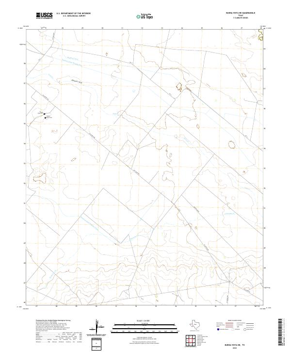
1972 Buena Vista NE
Pecos County, TX
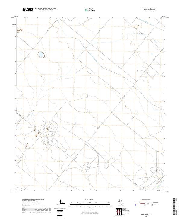
1972 Buena Vista
Pecos County, TX
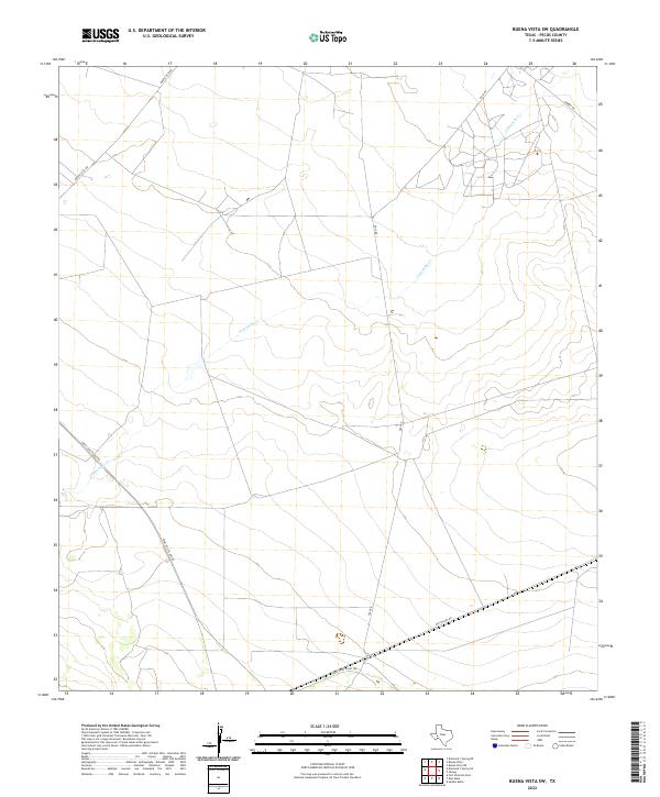
1972 Buena Vista SW
Pecos County, TX
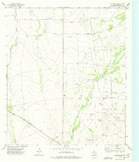
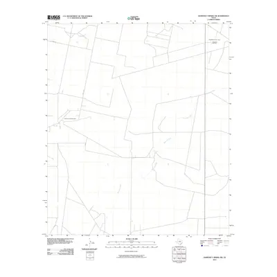
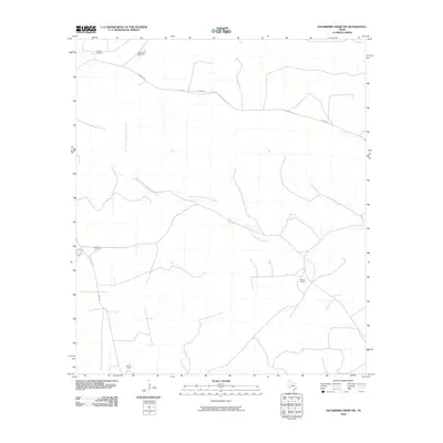
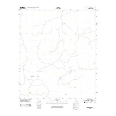
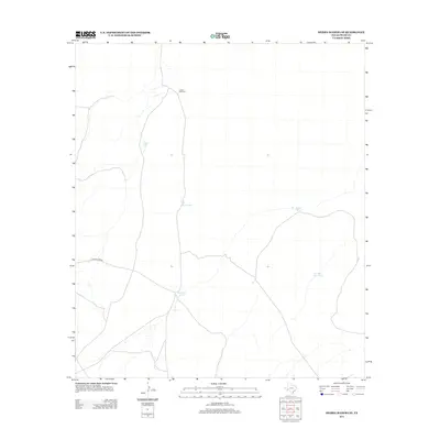
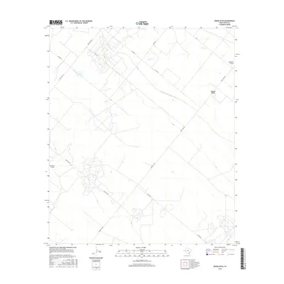
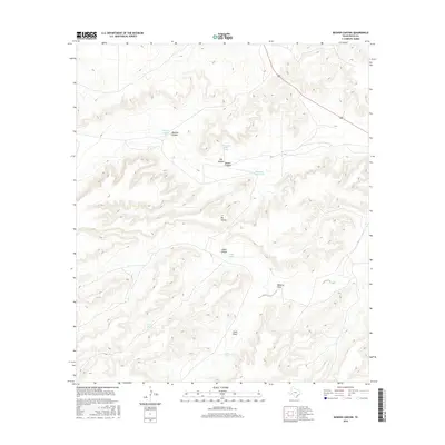
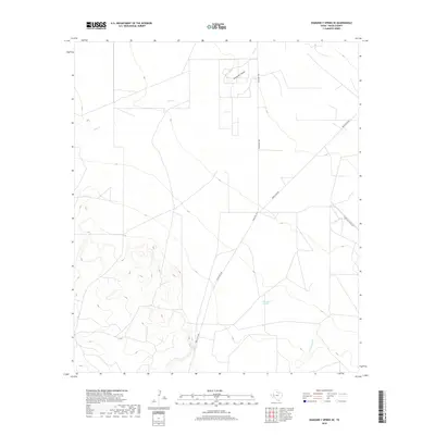
1972 Girvin
Pecos County, TX
1972 Girvin SE
Pecos County, TX
1972 Owego
Pecos County, TX
1974 Coyanosa SE
Pecos County, TX
1974 Coyanosa SW
Pecos County, TX
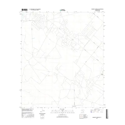
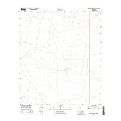
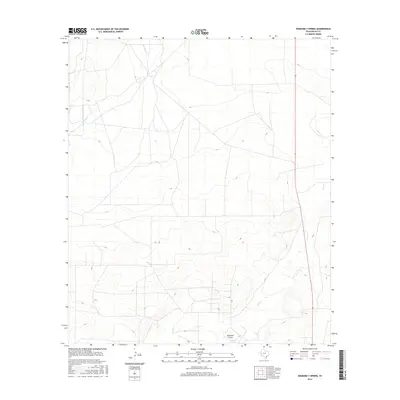
1974 Diamond Y Spring NE
Pecos County, TX
1974 Diamond Y Spring NW
Pecos County, TX
1974 Diamond Y Spring
Pecos County, TX

1974 Diamond Y Spring SE
Pecos County, TX
1980 Cave Mesa NE
Pecos County, TX
1980 Cave Mesa
Pecos County, TX
1980 Cave Mesa SE
Pecos County, TX
1980 Chancellor
Pecos County, TX
1980 Hovey NE
Pecos County, TX
1980 Leoncita Ranch
Pecos County, TX
1980 Panther Tank
Pecos County, TX
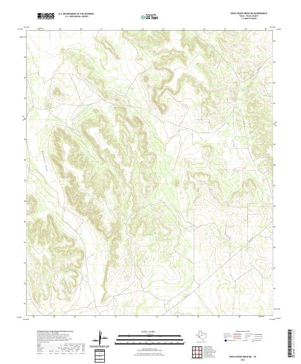
1980 Rock House Draw NE
Pecos County, TX
1980 Rock House Draw NW
Pecos County, TX
1980 Rock House Draw
Pecos County, TX
1980 Sierra Madera NE
Pecos County, TX
1980 Sierra Madera NW
Pecos County, TX
1980 Sierra Madera
Pecos County, TX
1980 Sierra Madera SE
Pecos County, TX
1983 Glass Mountain Ranch
Pecos County, TX
2010 Bakersfield
Pecos County, TX
2010 Belding NE
Pecos County, TX
2010 Belding NW
Pecos County, TX
2010 Belding
Pecos County, TX
2010 Belding SW
Pecos County, TX
2010 Big Canyon Ranch NW
Pecos County, TX
2010 Big Canyon Ranch SW
Pecos County, TX
2010 Bootleg Canyon
Pecos County, TX
2010 Buena Vista NE
Pecos County, TX
2010 Buena Vista
Pecos County, TX
2010 Buena Vista SW
Pecos County, TX
2010 Busher Canyon
Pecos County, TX
2010 Cap Rock Butte
Pecos County, TX

2010 Cave Mesa NE
Pecos County, TX
2010 Cave Mesa
Pecos County, TX
2010 Cave Mesa SE
Pecos County, TX
2010 Chancellor
Pecos County, TX
2010 Coyanosa SE
Pecos County, TX
2010 Coyanosa SW
Pecos County, TX
2010 Deep Well Ranch
Pecos County, TX
2010 Deep Well Ranch SE
Pecos County, TX
2010 Diamond Y Spring NE
Pecos County, TX
2010 Diamond Y Spring NW
Pecos County, TX
2010 Diamond Y Spring
Pecos County, TX
2010 Diamond Y Spring SE
Pecos County, TX
2010 Divide Country
Pecos County, TX
2010 East Mesa
Pecos County, TX
2010 East Mesa SW
Pecos County, TX
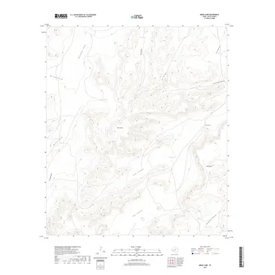
2010 Ebers Camp
Pecos County, TX
2010 F C Ranch
Pecos County, TX
2010 Fivemile Mesa
Pecos County, TX
2010 Fort Stockton East
Pecos County, TX
2010 Fort Stockton West
Pecos County, TX
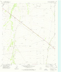
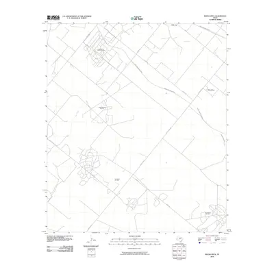
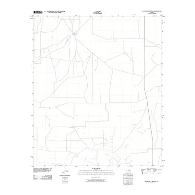
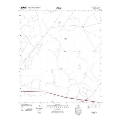
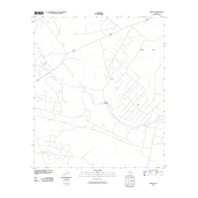
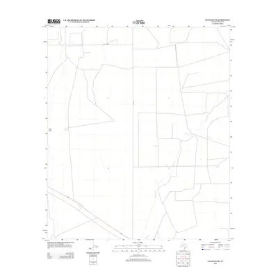
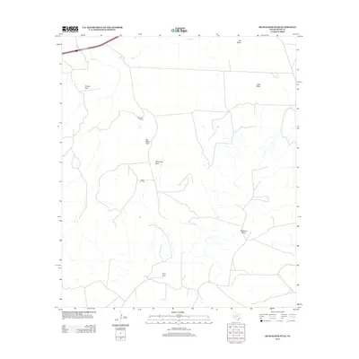
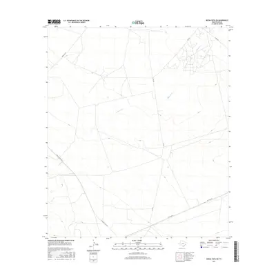
2010 Girvin
Pecos County, TX
2010 Girvin SE
Pecos County, TX
2010 Glass Mountain Ranch
Pecos County, TX
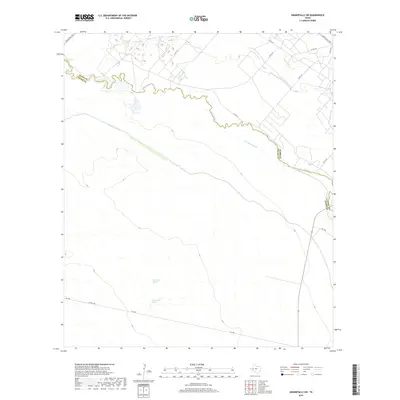
2010 Grandfalls SW
Pecos County, TX
2010 Hackberry Draw NE
Pecos County, TX
2010 Hackberry Draw NW
Pecos County, TX
2010 Hackberry Draw SW
Pecos County, TX
2010 Hat-A Ranch
Pecos County, TX
2010 Hovey NE
Pecos County, TX
2010 Indian Mesa NE
Pecos County, TX
2010 Indian Mesa
Pecos County, TX
2010 Indian Mesa SE
Pecos County, TX
2010 Leoncita Ranch
Pecos County, TX
2010 Longfellow
Pecos County, TX
2010 Marathon Gap
Pecos County, TX
2010 Owego
Pecos County, TX
2010 Panther Bluff
Pecos County, TX
2010 Panther Tank
Pecos County, TX
2010 Reininger Draw
Pecos County, TX
2010 Rio Pecos Ranch
Pecos County, TX
2010 Rock House Draw NE
Pecos County, TX
2010 Rock House Draw NW
Pecos County, TX
2010 Rock House Draw
Pecos County, TX
2010 Saddle Butte
Pecos County, TX
2010 Sheffield NW
Pecos County, TX
2010 Sherbino Mesa
Pecos County, TX
2010 Sherbino Ranch
Pecos County, TX
2010 Sierra Madera NE
Pecos County, TX
2010 Sierra Madera NW
Pecos County, TX
2010 Sierra Madera
Pecos County, TX
2010 Sierra Madera SE
Pecos County, TX
2010 Skyscraper Peak
Pecos County, TX
2010 Smoky Mountain Ranch
Pecos County, TX
2010 Toms Canyon
Pecos County, TX
2010 Tucker Hill
Pecos County, TX
2010 Twelvemile Mesa
Pecos County, TX
2012 Bakersfield
Pecos County, TX
2012 Belding NE
Pecos County, TX
2012 Belding NW
Pecos County, TX
2012 Belding
Pecos County, TX
2012 Belding SW
Pecos County, TX
2012 Big Canyon Ranch NW
Pecos County, TX
2012 Big Canyon Ranch SW
Pecos County, TX
2012 Bootleg Canyon
Pecos County, TX
2012 Buena Vista NE
Pecos County, TX
2012 Buena Vista
Pecos County, TX
2012 Buena Vista SW
Pecos County, TX
2012 Busher Canyon
Pecos County, TX
2012 Cap Rock Butte
Pecos County, TX
2012 Cave Mesa NE
Pecos County, TX
2012 Cave Mesa
Pecos County, TX
2012 Cave Mesa SE
Pecos County, TX
2012 Chancellor
Pecos County, TX
2012 Coyanosa SE
Pecos County, TX
2012 Coyanosa SW
Pecos County, TX
2012 Deep Well Ranch
Pecos County, TX
2012 Deep Well Ranch SE
Pecos County, TX
2012 Diamond Y Spring NE
Pecos County, TX
2012 Diamond Y Spring NW
Pecos County, TX
2012 Diamond Y Spring
Pecos County, TX
2012 Diamond Y Spring SE
Pecos County, TX
2012 Divide Country
Pecos County, TX
2012 East Mesa
Pecos County, TX
2012 East Mesa SW
Pecos County, TX
2012 Ebers Camp
Pecos County, TX
2012 F C Ranch
Pecos County, TX
2012 Fivemile Mesa
Pecos County, TX
2012 Fort Stockton East
Pecos County, TX
2012 Fort Stockton West
Pecos County, TX
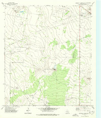
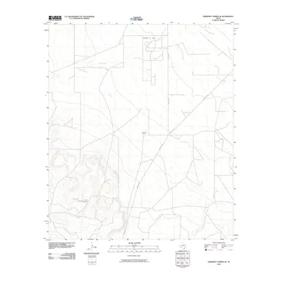
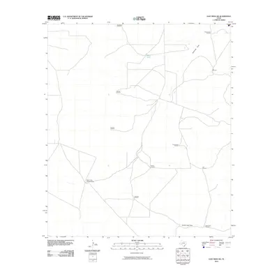
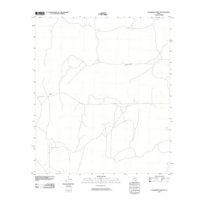
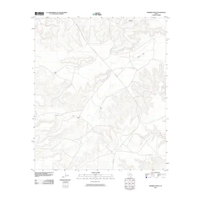
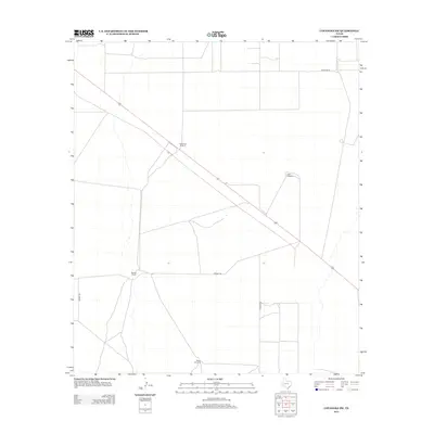
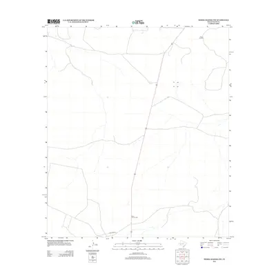
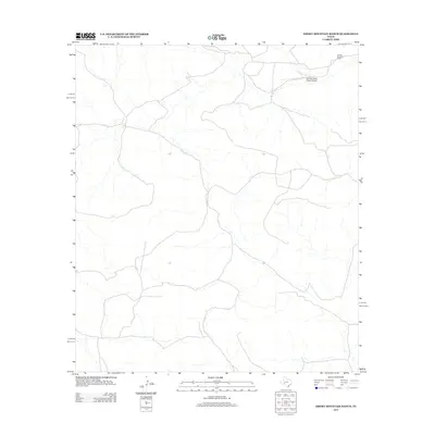
2012 Girvin
Pecos County, TX
2012 Girvin SE
Pecos County, TX
2012 Glass Mountain Ranch
Pecos County, TX
2012 Grandfalls SW
Pecos County, TX
2012 Hackberry Draw NE
Pecos County, TX
2012 Hackberry Draw NW
Pecos County, TX
2012 Hackberry Draw SW
Pecos County, TX
2012 Hat-A Ranch
Pecos County, TX
2012 Hovey NE
Pecos County, TX
2012 Indian Mesa NE
Pecos County, TX
2012 Indian Mesa
Pecos County, TX
2012 Indian Mesa SE
Pecos County, TX
2012 Leoncita Ranch
Pecos County, TX
2012 Longfellow
Pecos County, TX
2012 Marathon Gap
Pecos County, TX
2012 Owego
Pecos County, TX
2012 Panther Bluff
Pecos County, TX
2012 Panther Tank
Pecos County, TX
2012 Reininger Draw
Pecos County, TX
2012 Rock House Draw NE
Pecos County, TX
2012 Rock House Draw NW
Pecos County, TX
2012 Rock House Draw
Pecos County, TX
2012 Saddle Butte
Pecos County, TX
2012 Sheffield NW
Pecos County, TX

2012 Sherbino Mesa
Pecos County, TX
2012 Sherbino Ranch
Pecos County, TX
2012 Sierra Madera NE
Pecos County, TX
2012 Sierra Madera NW
Pecos County, TX
2012 Sierra Madera
Pecos County, TX
2012 Sierra Madera SE
Pecos County, TX
2012 Skyscraper Peak
Pecos County, TX
2012 Smoky Mountain Ranch
Pecos County, TX
2012 Toms Canyon
Pecos County, TX
2012 Tucker Hill
Pecos County, TX
2012 Twelvemile Mesa
Pecos County, TX
2013 Rio Pecos Ranch
Pecos County, TX
2016 Bakersfield
Pecos County, TX
2016 Belding NE
Pecos County, TX
2016 Belding NW
Pecos County, TX
2016 Belding
Pecos County, TX
2016 Belding SW
Pecos County, TX
2016 Big Canyon Ranch NW
Pecos County, TX
2016 Big Canyon Ranch SW
Pecos County, TX
2016 Bootleg Canyon
Pecos County, TX
2016 Buena Vista NE
Pecos County, TX
2016 Buena Vista
Pecos County, TX
2016 Buena Vista SW
Pecos County, TX
2016 Busher Canyon
Pecos County, TX
2016 Cap Rock Butte
Pecos County, TX
2016 Cave Mesa NE
Pecos County, TX
2016 Cave Mesa
Pecos County, TX
2016 Cave Mesa SE
Pecos County, TX
2016 Chancellor
Pecos County, TX
2016 Coyanosa SE
Pecos County, TX
2016 Coyanosa SW
Pecos County, TX
2016 Deep Well Ranch
Pecos County, TX
2016 Deep Well Ranch SE
Pecos County, TX
2016 Diamond Y Spring NE
Pecos County, TX
2016 Diamond Y Spring NW
Pecos County, TX
2016 Diamond Y Spring
Pecos County, TX
2016 Diamond Y Spring SE
Pecos County, TX
2016 Divide Country
Pecos County, TX
2016 East Mesa
Pecos County, TX
2016 East Mesa SW
Pecos County, TX
2016 Ebers Camp
Pecos County, TX
2016 F C Ranch
Pecos County, TX
2016 Fivemile Mesa
Pecos County, TX
2016 Fort Stockton East
Pecos County, TX
2016 Fort Stockton West
Pecos County, TX
2016 Girvin
Pecos County, TX
2016 Girvin SE
Pecos County, TX
2016 Glass Mountain Ranch
Pecos County, TX
2016 Grandfalls SW
Pecos County, TX
2016 Hackberry Draw NE
Pecos County, TX
2016 Hackberry Draw NW
Pecos County, TX
2016 Hackberry Draw SW
Pecos County, TX
2016 Hat-A Ranch
Pecos County, TX
2016 Hovey NE
Pecos County, TX
2016 Indian Mesa NE
Pecos County, TX
2016 Indian Mesa
Pecos County, TX
2016 Indian Mesa SE
Pecos County, TX
2016 Leoncita Ranch
Pecos County, TX
2016 Longfellow
Pecos County, TX
2016 Marathon Gap
Pecos County, TX
2016 Owego
Pecos County, TX
2016 Panther Bluff
Pecos County, TX
2016 Panther Tank
Pecos County, TX
2016 Reininger Draw
Pecos County, TX
2016 Rio Pecos Ranch
Pecos County, TX
2016 Rock House Draw NE
Pecos County, TX
2016 Rock House Draw NW
Pecos County, TX
2016 Rock House Draw
Pecos County, TX
2016 Saddle Butte
Pecos County, TX
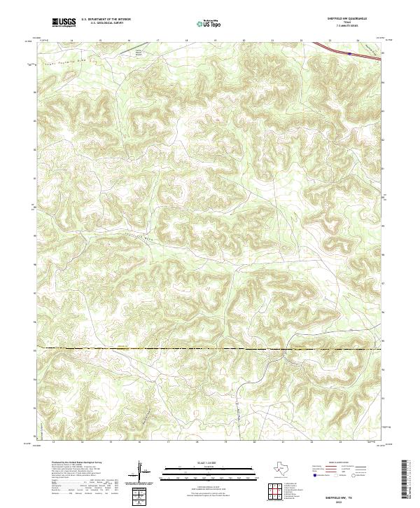
2016 Sheffield NW
Pecos County, TX
2016 Sherbino Mesa
Pecos County, TX
2016 Sherbino Ranch
Pecos County, TX
2016 Sierra Madera NE
Pecos County, TX
2016 Sierra Madera NW
Pecos County, TX
2016 Sierra Madera
Pecos County, TX
2016 Sierra Madera SE
Pecos County, TX
2016 Skyscraper Peak
Pecos County, TX
2016 Smoky Mountain Ranch
Pecos County, TX
2016 Toms Canyon
Pecos County, TX
2016 Tucker Hill
Pecos County, TX
2016 Twelvemile Mesa
Pecos County, TX
2019 Bakersfield
Pecos County, TX
2019 Belding NE
Pecos County, TX
2019 Belding NW
Pecos County, TX
2019 Belding
Pecos County, TX
2019 Belding SW
Pecos County, TX
2019 Big Canyon Ranch NW
Pecos County, TX
2019 Big Canyon Ranch SW
Pecos County, TX
2019 Bootleg Canyon
Pecos County, TX
2019 Buena Vista NE
Pecos County, TX
2019 Buena Vista
Pecos County, TX
2019 Buena Vista SW
Pecos County, TX
2019 Busher Canyon
Pecos County, TX
2019 Cap Rock Butte
Pecos County, TX
2019 Cave Mesa NE
Pecos County, TX
2019 Cave Mesa
Pecos County, TX
2019 Cave Mesa SE
Pecos County, TX
2019 Chancellor
Pecos County, TX
2019 Coyanosa SE
Pecos County, TX
2019 Coyanosa SW
Pecos County, TX
2019 Deep Well Ranch
Pecos County, TX
2019 Deep Well Ranch SE
Pecos County, TX
2019 Diamond Y Spring NE
Pecos County, TX
2019 Diamond Y Spring NW
Pecos County, TX
2019 Diamond Y Spring
Pecos County, TX
2019 Diamond Y Spring SE
Pecos County, TX
2019 Divide Country
Pecos County, TX
2019 East Mesa
Pecos County, TX
2019 East Mesa SW
Pecos County, TX
2019 Ebers Camp
Pecos County, TX
2019 F C Ranch
Pecos County, TX
2019 Fivemile Mesa
Pecos County, TX
2019 Fort Stockton East
Pecos County, TX
2019 Fort Stockton West
Pecos County, TX
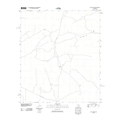
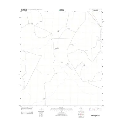
2019 Girvin
Pecos County, TX
2019 Girvin SE
Pecos County, TX
2019 Glass Mountain Ranch
Pecos County, TX
2019 Grandfalls SW
Pecos County, TX
2019 Hackberry Draw NE
Pecos County, TX
2019 Hackberry Draw NW
Pecos County, TX
2019 Hackberry Draw SW
Pecos County, TX
2019 Hat-A Ranch
Pecos County, TX
2019 Hovey NE
Pecos County, TX
2019 Indian Mesa NE
Pecos County, TX
2019 Indian Mesa
Pecos County, TX
2019 Indian Mesa SE
Pecos County, TX
2019 Leoncita Ranch
Pecos County, TX
2019 Longfellow
Pecos County, TX
2019 Marathon Gap
Pecos County, TX
2019 Owego
Pecos County, TX
2019 Panther Bluff
Pecos County, TX
2019 Panther Tank
Pecos County, TX
2019 Reininger Draw
Pecos County, TX
2019 Rio Pecos Ranch
Pecos County, TX
2019 Rock House Draw NE
Pecos County, TX

2019 Rock House Draw NW
Pecos County, TX
2019 Rock House Draw
Pecos County, TX
2019 Saddle Butte
Pecos County, TX
2019 Sheffield NW
Pecos County, TX
2019 Sherbino Mesa
Pecos County, TX
2019 Sherbino Ranch
Pecos County, TX
2019 Sierra Madera NE
Pecos County, TX
2019 Sierra Madera NW
Pecos County, TX
2019 Sierra Madera
Pecos County, TX
2019 Sierra Madera SE
Pecos County, TX
2019 Skyscraper Peak
Pecos County, TX
2019 Smoky Mountain Ranch
Pecos County, TX
2019 Toms Canyon
Pecos County, TX
2019 Tucker Hill
Pecos County, TX
2019 Twelvemile Mesa
Pecos County, TX
2022 Belding NE
Pecos County, TX
2022 Belding NW
Pecos County, TX
2022 Belding
Pecos County, TX
2022 Belding SW
Pecos County, TX
2022 Big Canyon Ranch NW
Pecos County, TX
2022 Big Canyon Ranch SW
Pecos County, TX
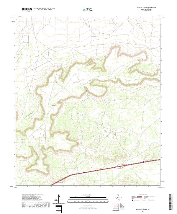
2022 Bootleg Canyon
Pecos County, TX
2022 Buena Vista NE
Pecos County, TX
2022 Buena Vista
Pecos County, TX
2022 Buena Vista SW
Pecos County, TX
2022 Busher Canyon
Pecos County, TX
2022 Cap Rock Butte
Pecos County, TX
2022 Cave Mesa NE
Pecos County, TX
2022 Cave Mesa
Pecos County, TX
2022 Cave Mesa SE
Pecos County, TX
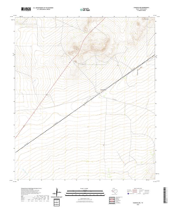
2022 Chancellor
Pecos County, TX
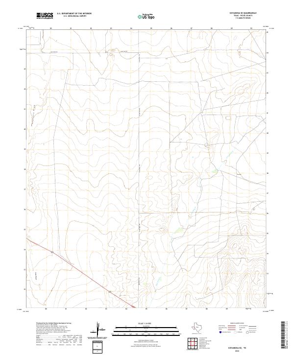
2022 Coyanosa SE
Pecos County, TX
2022 Coyanosa SW
Pecos County, TX
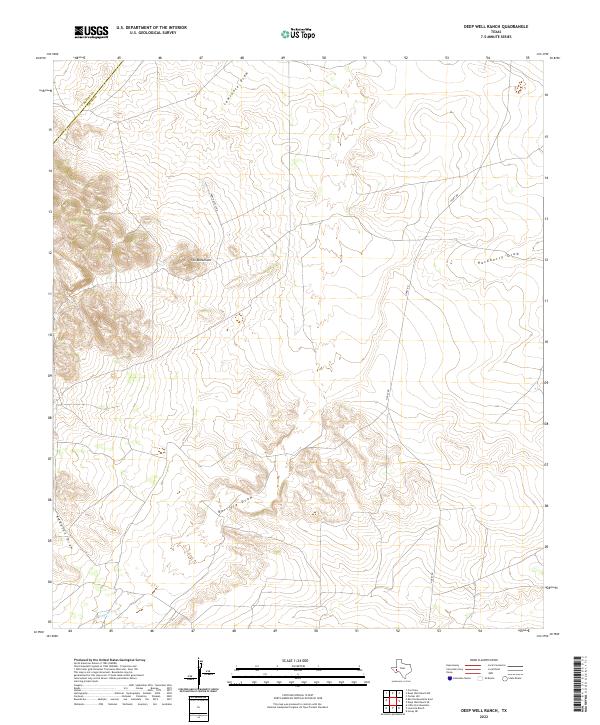
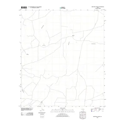
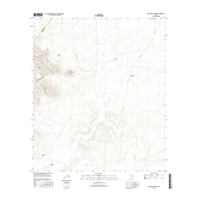
2022 Deep Well Ranch
Pecos County, TX
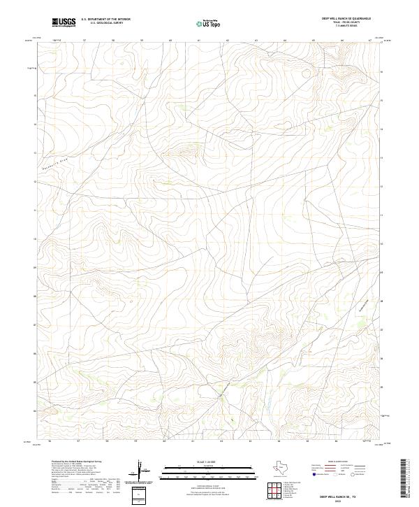
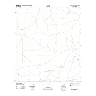
2022 Deep Well Ranch SE
Pecos County, TX
2022 Diamond Y Spring NE
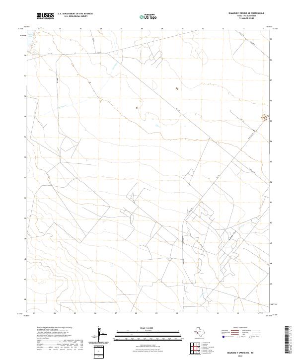
Pecos County, TX
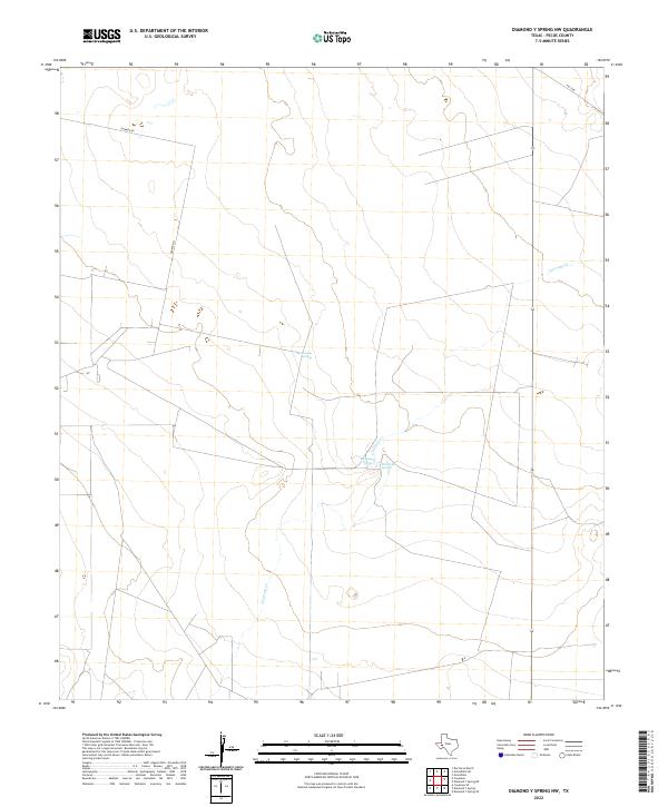
2022 Diamond Y Spring NW
Pecos County, TX
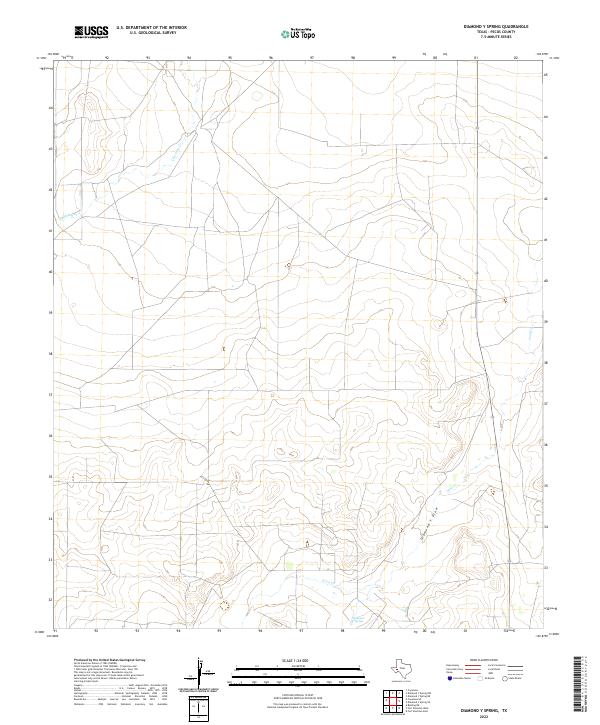
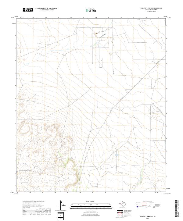
2022 Diamond Y Spring
Pecos County, TX
2022 Diamond Y Spring SE
Pecos County, TX
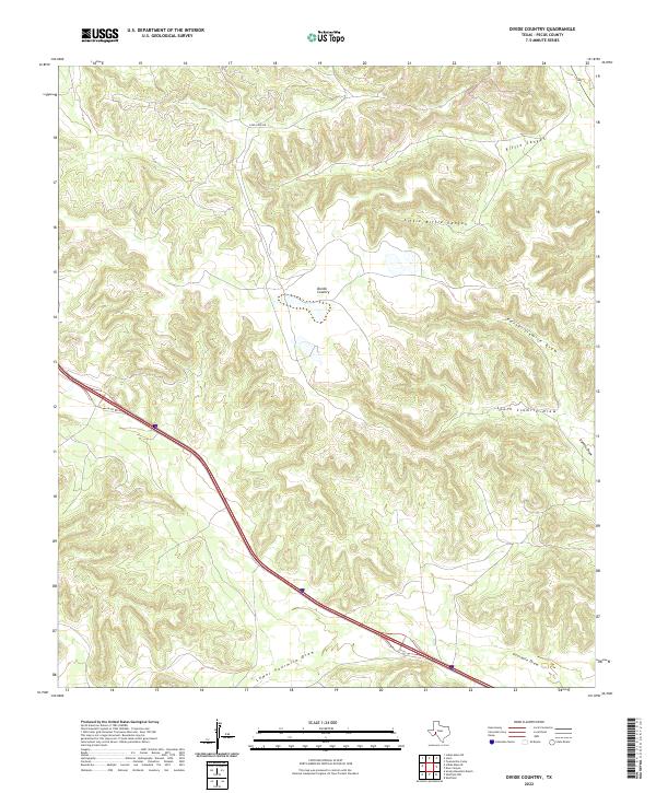
2022 Divide Country
Pecos County, TX
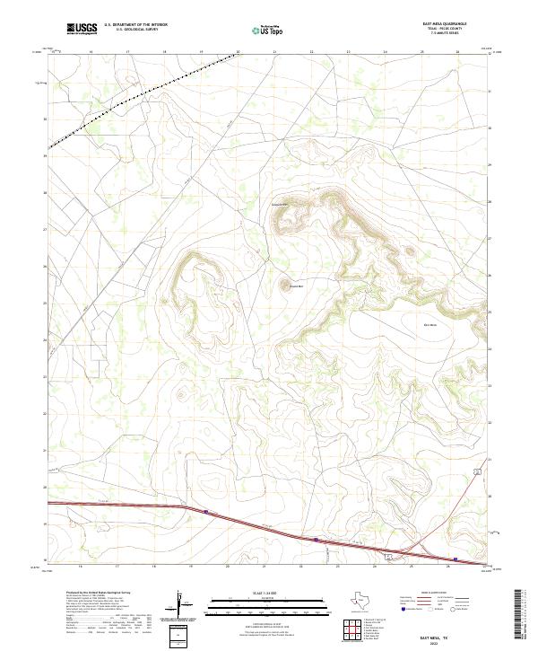
2022 East Mesa
Pecos County, TX
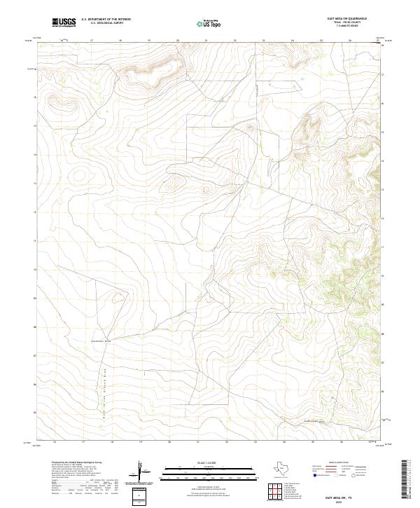
2022 East Mesa SW
Pecos County, TX
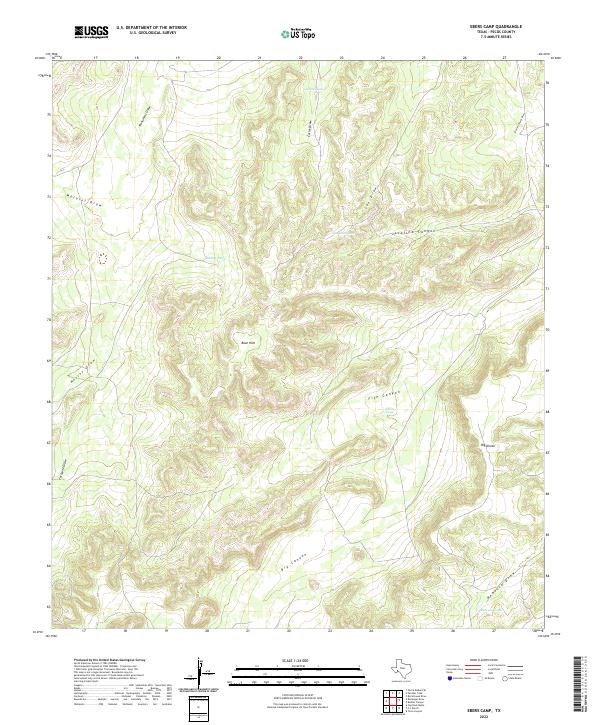
2022 Ebers Camp
Pecos County, TX
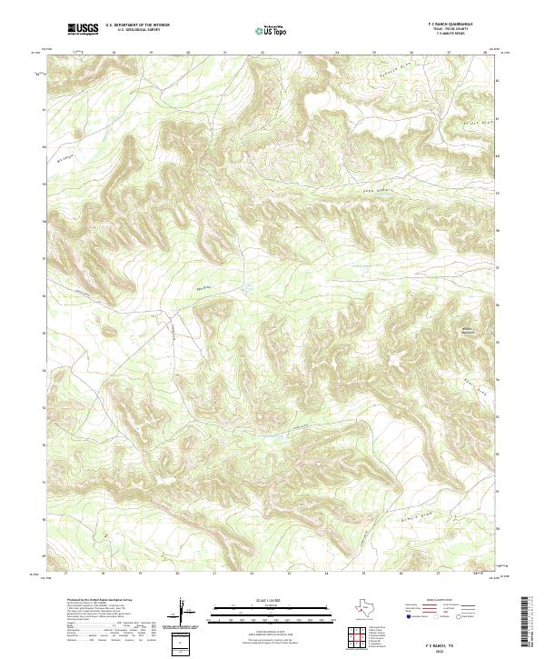
2022 F C Ranch
Pecos County, TX
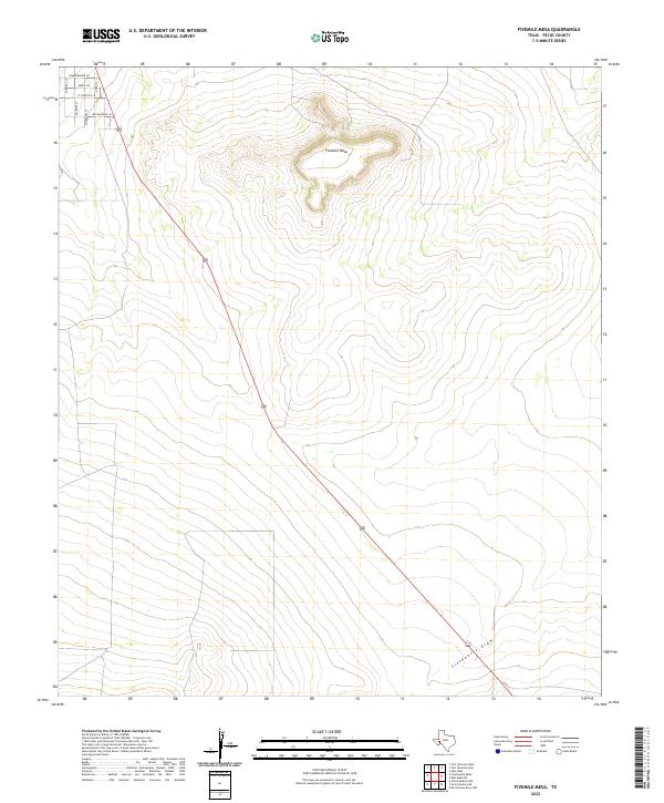
2022 Fivemile Mesa
Pecos County, TX
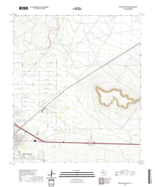
2022 Fort Stockton East
Pecos County, TX
2022 Fort Stockton West
Pecos County, TX
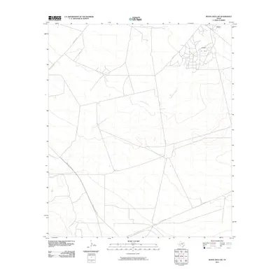
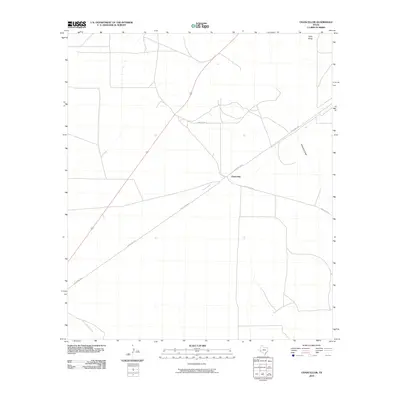
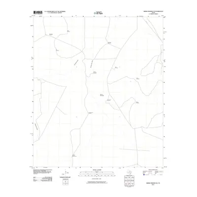
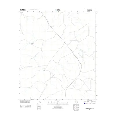
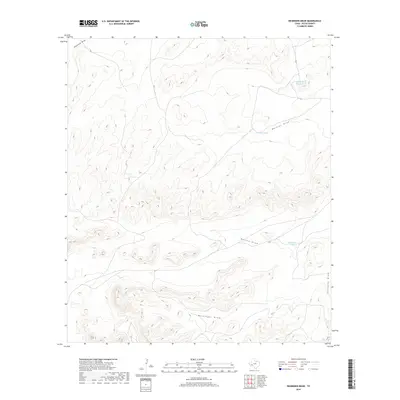
2022 Girvin
Pecos County, TX
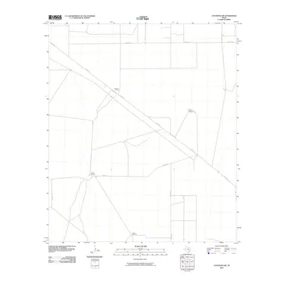
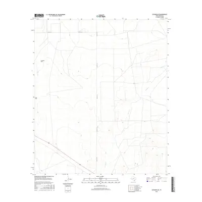
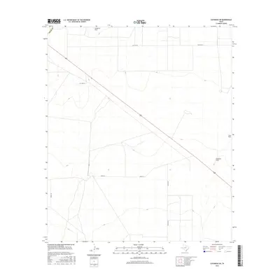
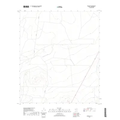
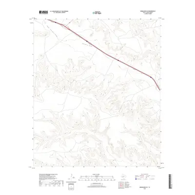
2022 Girvin SE
Pecos County, TX
2022 Glass Mountain Ranch
Pecos County, TX
2022 Grandfalls SW
Pecos County, TX
2022 Hackberry Draw NE
Pecos County, TX
2022 Hackberry Draw NW
Pecos County, TX
2022 Hackberry Draw SW
Pecos County, TX
2022 Hat-A Ranch
Pecos County, TX
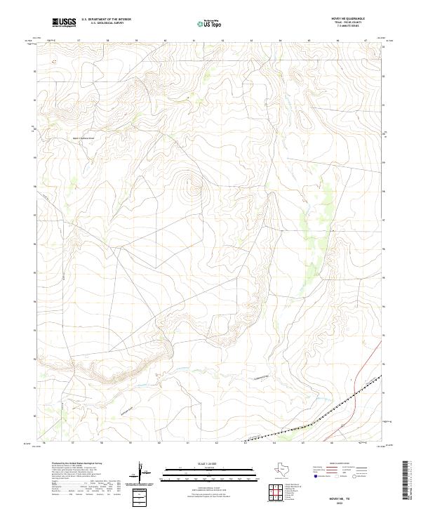
2022 Hovey NE
Pecos County, TX
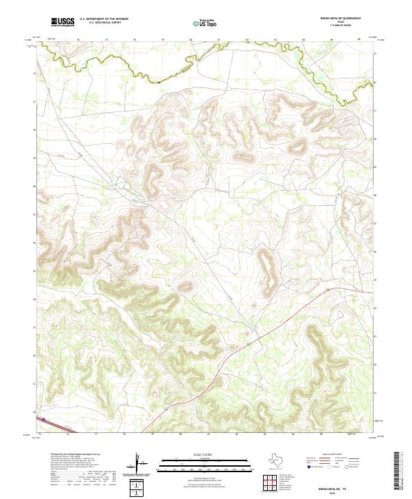
2022 Indian Mesa NE
Pecos County, TX
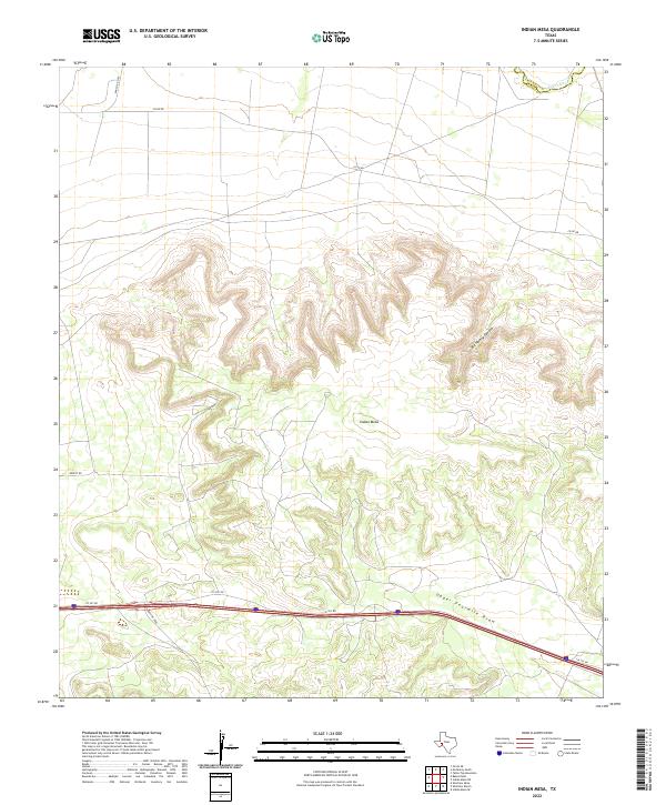
2022 Indian Mesa
Pecos County, TX
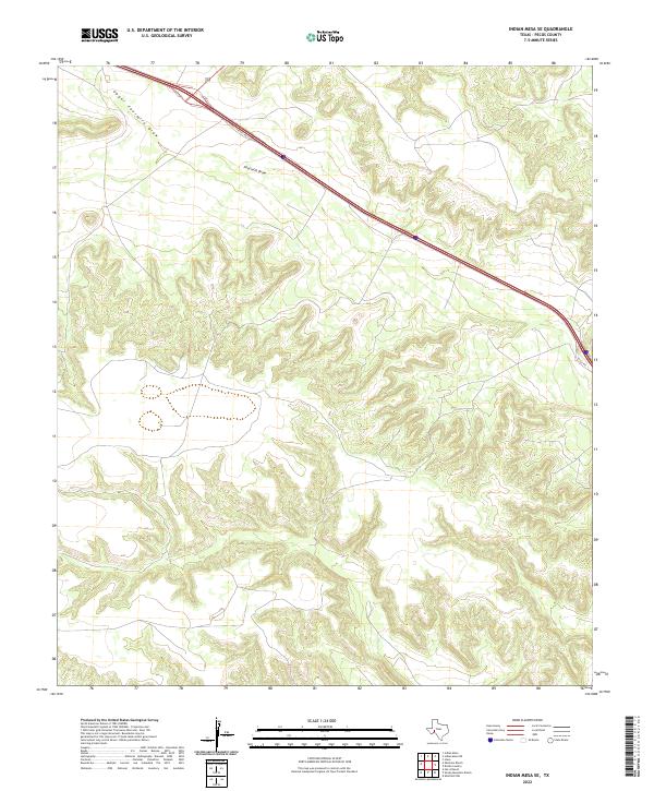
2022 Indian Mesa SE
Pecos County, TX
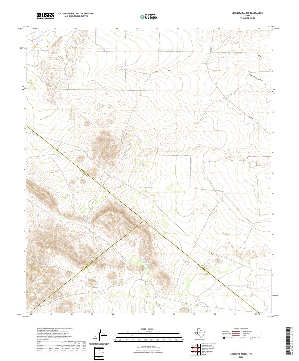
2022 Leoncita Ranch
Pecos County, TX
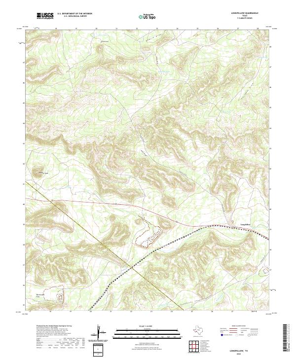
2022 Longfellow
Pecos County, TX
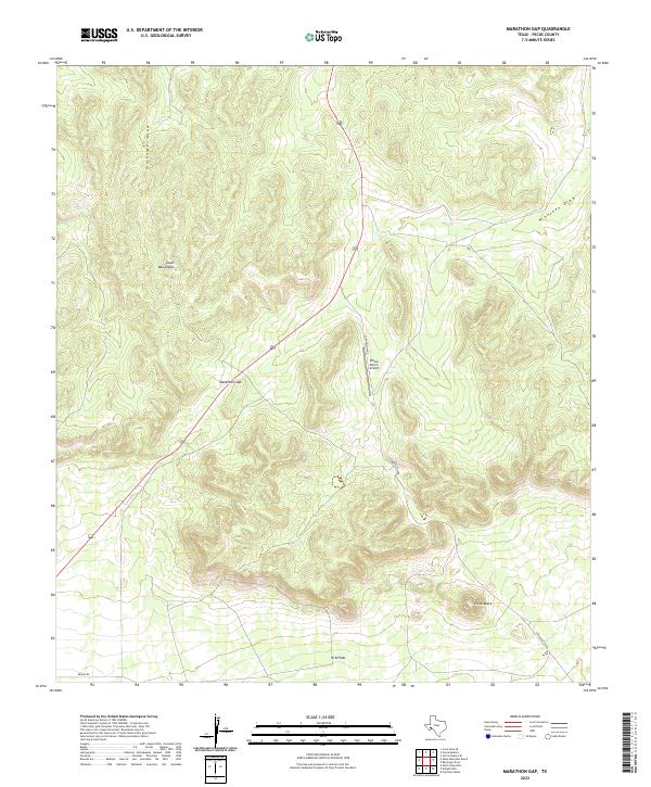
2022 Marathon Gap
Pecos County, TX
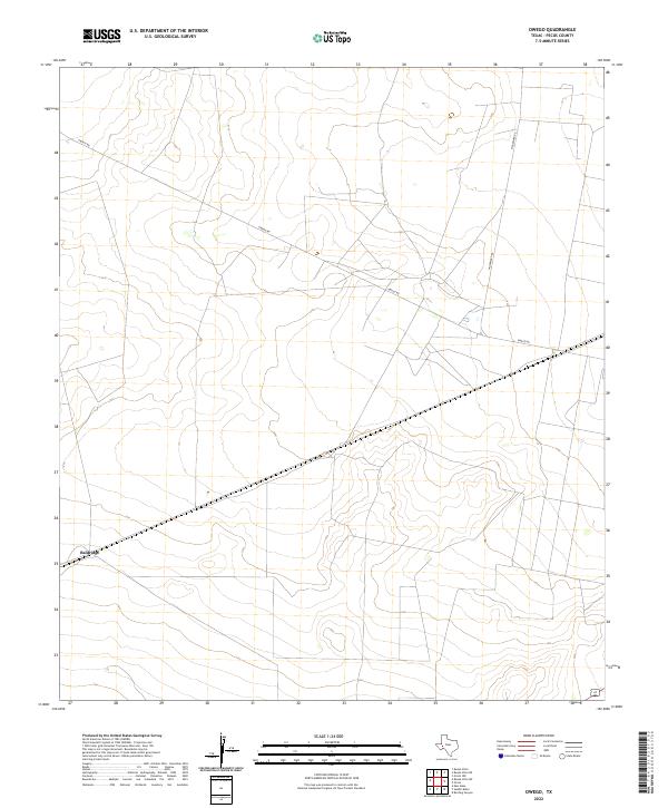
2022 Owego
Pecos County, TX
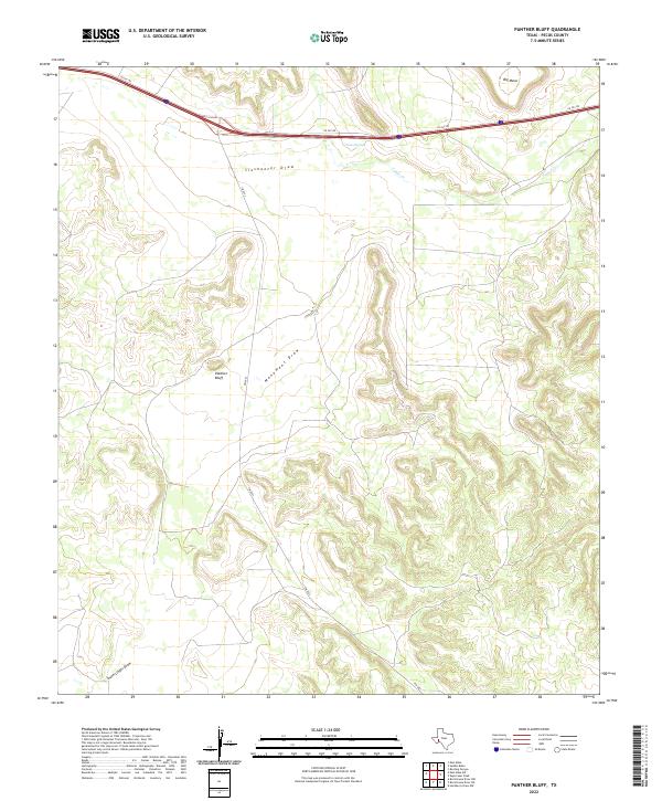
2022 Panther Bluff
Pecos County, TX
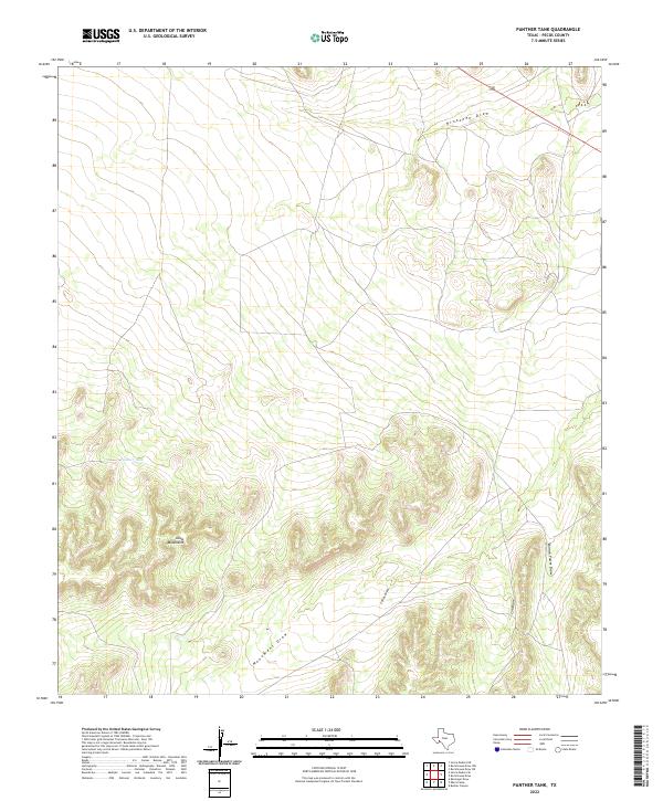
2022 Panther Tank
Pecos County, TX
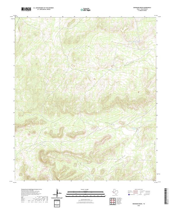
2022 Reininger Draw
Pecos County, TX
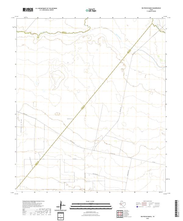
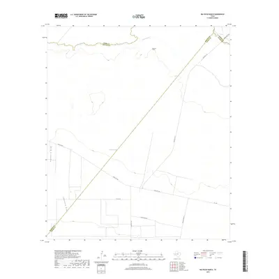
2022 Rio Pecos Ranch
Pecos County, TX
2022 Rock House Draw NE
Pecos County, TX
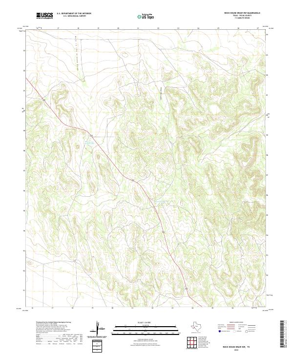
2022 Rock House Draw NW
Pecos County, TX
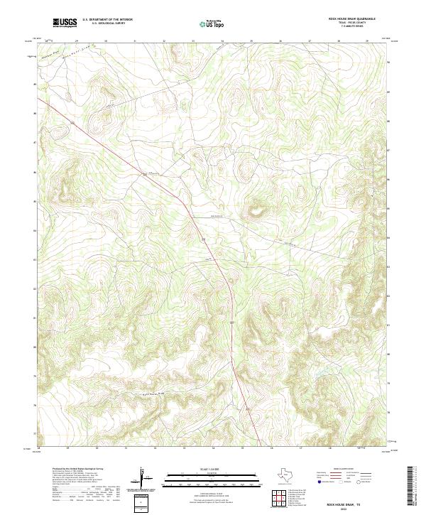
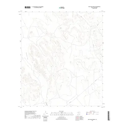
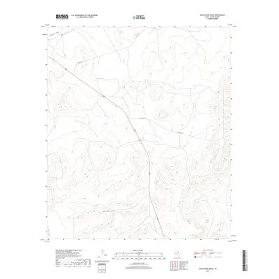
2022 Rock House Draw
Pecos County, TX
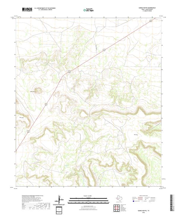
2022 Saddle Butte
Pecos County, TX
2022 Sheffield NW
Pecos County, TX
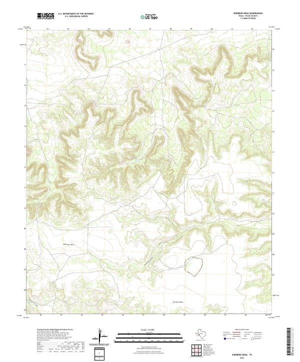
2022 Sherbino Mesa
Pecos County, TX
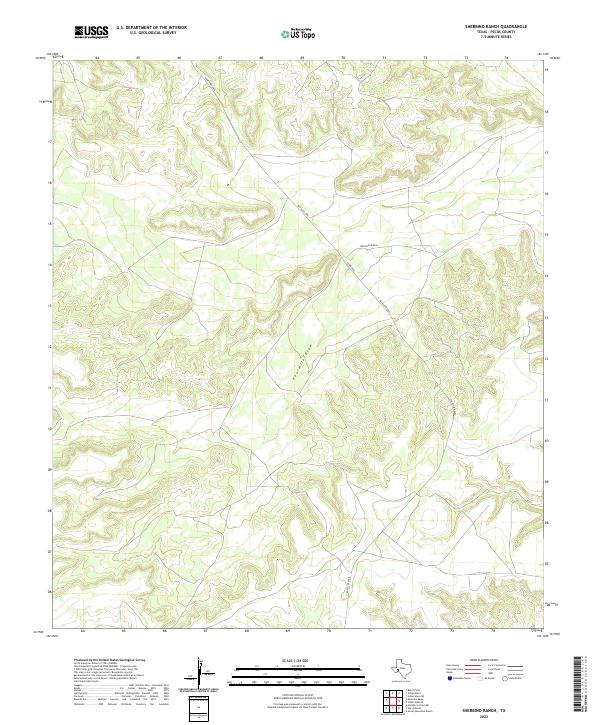
2022 Sherbino Ranch
Pecos County, TX
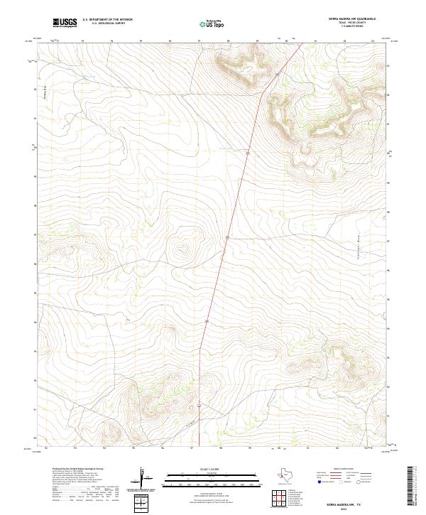
2022 Sierra Madera NE
Pecos County, TX
2022 Sierra Madera NW
Pecos County, TX
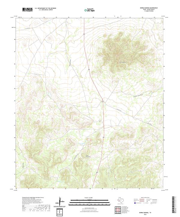
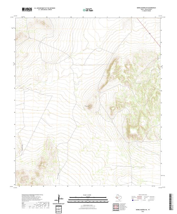
2022 Sierra Madera
Pecos County, TX
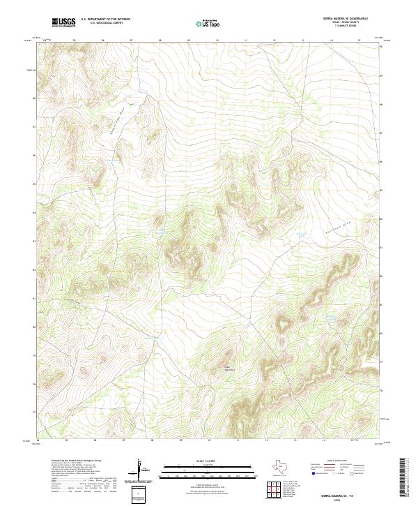
2022 Sierra Madera SE
Pecos County, TX
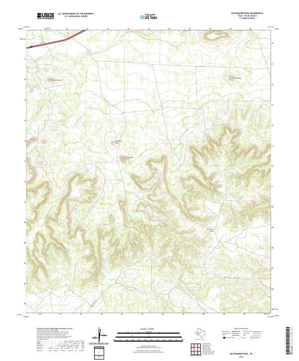
2022 Skyscraper Peak
Pecos County, TX
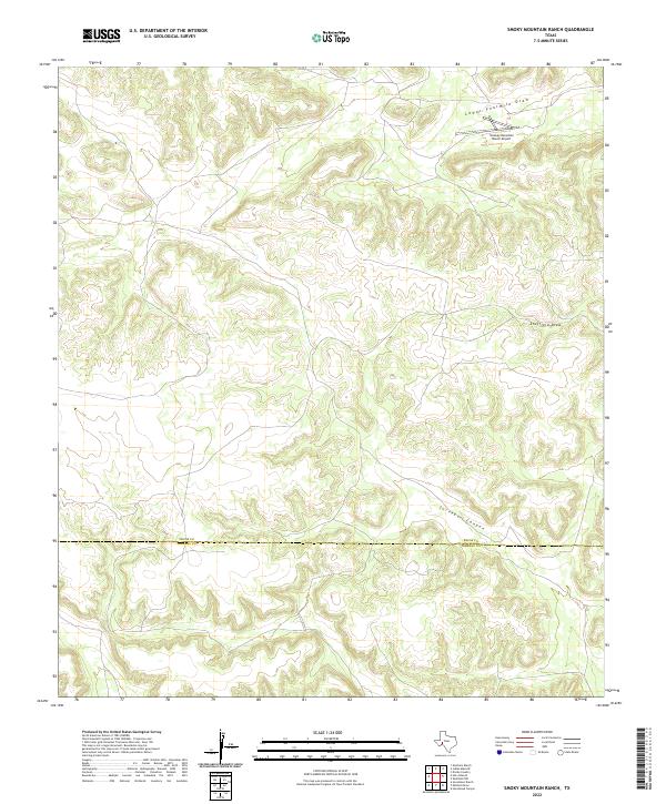
2022 Smoky Mountain Ranch
Pecos County, TX
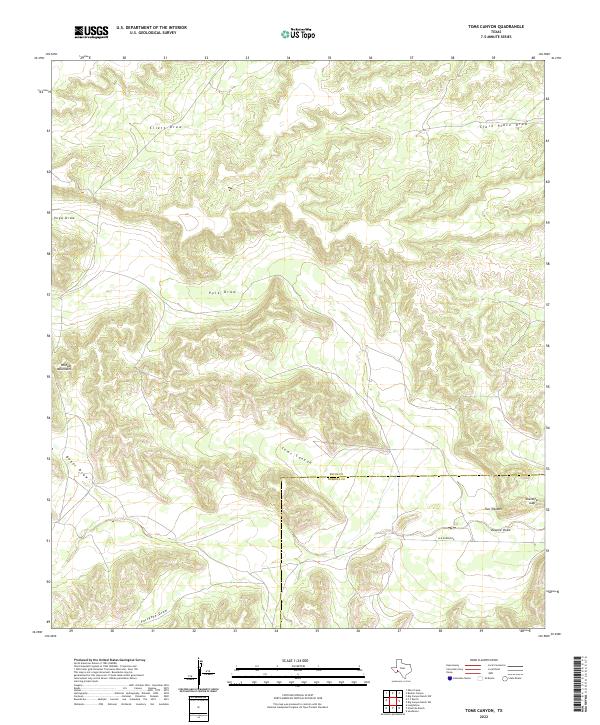
2022 Toms Canyon
Pecos County, TX
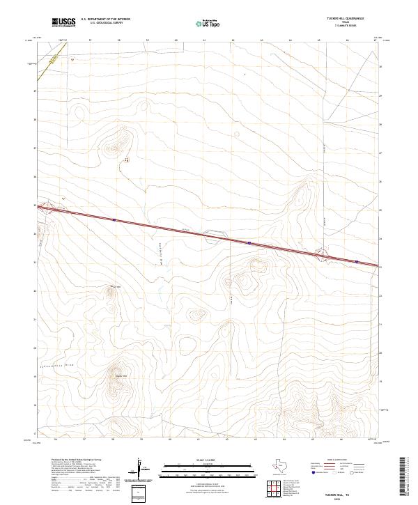
2022 Tucker Hill
Pecos County, TX
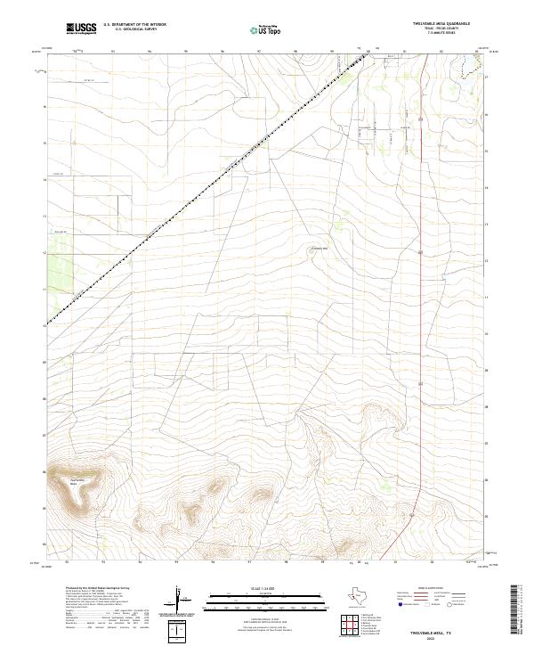
2022 Twelvemile Mesa
Pecos County, TX
2023 Bakersfield
Pecos County, TX