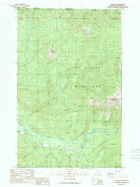
1989 Map of Glacier
USGS Topo · Published 1989About this map
Glacier sits at the base of the dramatic peaks within the Mt Baker National Forest, serving as a gateway to the high wilderness of the North Cascades during the late 1980s. The settlement pattern follows the curve of the North Fork Nooksack River, which dominates the southern portion of the map. Here, the landscape transitions from the river valley floor to the steep slopes of Church Mountain and Bald Mountain. The presence of a Quarry and a Gravel Pit near the river suggests local industry centered on resource extraction, while the nearby Campground highlights the area's role in mountain recreation. Notable high-altitude features like Kidney Lakes and the Church Saddle illustrate the difficult terrain that characterizes the northern border with Canada.
Find a feature on this map
37 named features on this map. Tap any name to fly to it.
Don’t see what you’re looking for? This feature index may not catch every label — zoom into the map to look around manually.
Map Details
Editions of this 1989 Glacier Map
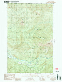
2 editions found
Other maps of this area

1909 · Mt Baker
USGS Topo · 1:192,000

1915 · Mt. Baker
USGS Topo · 1:250,000

1919 · Van Zandt
USGS Topo · 1:62,500

1951 · Van Zandt
USGS Topo · 1:62,500

1952 · Mt. Baker
USGS Topo · 1:62,500

1955 · Concrete
USGS Topo · 1:250,000

1957 · Victoria
USGS Topo · 1:250,000

1958 · Concrete
USGS Topo · 1:250,000

1962 · Concrete
USGS Topo · 1:250,000

1972 · Maple Falls
USGS Topo · 1:24,000