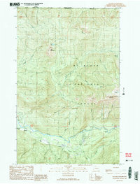
1989 Map of Glacier
USGS Topo · Published 1989About this map
The North Fork Nooksack River carves through this high-altitude landscape along the border of Canada and the United States in northern Washington. Recorded in the late 1980s, the map reveals a rugged terrain dominated by Church Mountain and the peaks of the Mt Baker National Forest. Small-scale industrial activity is evident through the presence of a Quarry and a Gravel Pit near the riverbanks, while the settlement of Warnick and a local Cem provide evidence of early high-country habitation. The drainage system is remarkably dense, with Kidney Creek, Maple Creek, and Gallop Creek feeding into the main river fork. Of particular interest to local historians are the specific named landmarks like Church Saddle and West Church Ridge, which delineate the complex ridgelines above the timberline near Bear Paw Snow.
Find a feature on this map
39 named features on this map. Tap any name to fly to it.
Don’t see what you’re looking for? This feature index may not catch every label — zoom into the map to look around manually.
Map Details
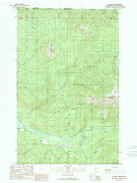
Editions of this 1989 Glacier Map
2 editions found
Other maps of this area

1909 · Mt Baker
USGS Topo · 1:192,000

1915 · Mt. Baker
USGS Topo · 1:250,000

1919 · Van Zandt
USGS Topo · 1:62,500

1951 · Van Zandt
USGS Topo · 1:62,500

1952 · Mt. Baker
USGS Topo · 1:62,500

1955 · Concrete
USGS Topo · 1:250,000

1957 · Victoria
USGS Topo · 1:250,000

1958 · Concrete
USGS Topo · 1:250,000

1962 · Concrete
USGS Topo · 1:250,000

1972 · Maple Falls
USGS Topo · 1:24,000