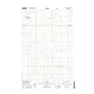
2015 Map of Glad Valley
USGS Topo · Published 2015About this map
Glad Valley anchors the southeastern portion of this landscape, situated near the boundary between Ziebach and Corson counties. The terrain is characterized by the intricate drainage systems of Twin Butte Cr and its tributaries, including E Fork E Twin Butte Cr and W Fork E Twin Butte Cr, which carve through the plains. In the northern reaches, the Grand River National Grassland encompasses a significant portion of the territory, reflecting the federal management of these public lands. Rural infrastructure is sparse, defined primarily by a grid of section lines and thoroughfares like 215th Ave, which facilitate movement through this remote ranching and grazing country.
Find a feature on this map
13 named features on this map. Tap any name to fly to it.
Don’t see what you’re looking for? This feature index may not catch every label — zoom into the map to look around manually.
Map Details
Editions of this 2015 Glad Valley Map
This is the sole edition of this map. No revisions or reprints were ever made.
Other maps of this area
1953 · McIntosh
USGS Topo · 1:250,000
1956 · Cottonwood Creek SW
USGS Topo · 1:24,000
1958 · McIntosh
USGS Topo · 1:250,000
1972 · Black Horse Butte
USGS Topo · 1:24,000
1972 · Twin Butte
USGS Topo · 1:24,000
1980 · McIntosh
USGS Topo · 1:100,000
1982 · Glad Valley
USGS Topo · 1:24,000
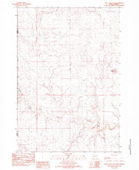
1982 · Glad Valley SW
USGS Topo · 1:24,000
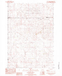
1982 · Glad Valley NW
USGS Topo · 1:24,000
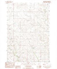
1982 · Irish Creek SW
USGS Topo · 1:24,000