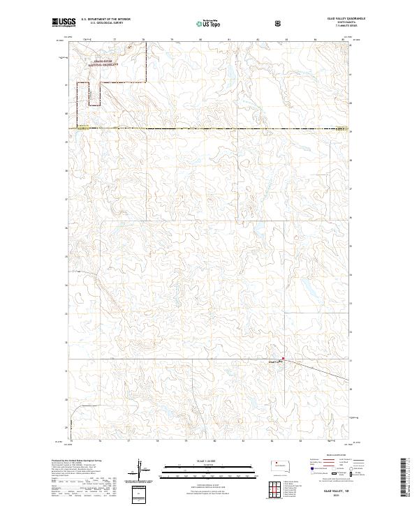
2021 Map of Glad Valley
USGS Topo · Published 2021About this map
Grand River National Grassland dominates the northern landscape of this rural plains region, where the prairie topography is defined by the branching drainages of the Twin Butte Creek system. The small settlement of Glad Valley sits at a crossroads in the southern portion of the sheet, serving as a focal point for the surrounding ranching and agricultural lands. The terrain exhibits the characteristic drainage patterns of the northern Great Plains, with the W Fork E Twin Butte Cr and E Fork E Twin Butte Gr carving shallow valleys through the open grassland. This 2021 digital survey documents the modern boundary between Corson and Ziebach counties, reflecting a landscape where legacy land divisions and natural watercourses remain the primary features of interest for local researchers and land historians.
Find a feature on this map
12 named features on this map. Tap any name to fly to it.
Don’t see what you’re looking for? This feature index may not catch every label — zoom into the map to look around manually.
Map Details
Editions of this 2021 Glad Valley Map
This is the sole edition of this map. No revisions or reprints were ever made.
Other maps of this area

1953 · McIntosh
USGS Topo · 1:250,000

1956 · Cottonwood Creek SW
USGS Topo · 1:24,000

1958 · McIntosh
USGS Topo · 1:250,000

1972 · Black Horse Butte
USGS Topo · 1:24,000

1972 · Twin Butte
USGS Topo · 1:24,000

1980 · McIntosh
USGS Topo · 1:100,000

1982 · Glad Valley
USGS Topo · 1:24,000

1982 · Glad Valley SW
USGS Topo · 1:24,000

1982 · Glad Valley NW
USGS Topo · 1:24,000

1982 · Irish Creek SW
USGS Topo · 1:24,000