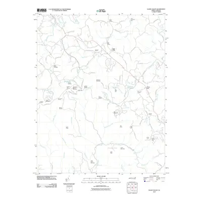
2010 Map of Glade Valley
USGS Topo · Published 2010About this map
Glade Valley serves as a central hub in this high-country landscape, where the Blue Ridge Mountains descend into a series of gaps and overlooks. The area's settlement history is preserved through a network of rural churches and cemeteries, such as Macedonia Church and the Woodruff Cemetery, which dot the hillsides along roads like Glade Valley Rd. The terrain is characterized by dramatic elevations, including Bullhead Mountain and Stone Mountain, with the latter anchoring Stone Mountain State Park in the southern portion of the sheet. Modern recreation is evident at Camp Cheerio and Camp Albert Butler, while the Blue Ridge Pkwy snakes through the western ridges, providing access to Mahogany Rock Overlook and Devils Garden Overlook. This survey captures a mix of longstanding family-named landmarks and protected parklands, reflecting the transition from agricultural mountain life to a landscape shaped by conservation and seasonal retreats.
Find a feature on this map
95 named features on this map. Tap any name to fly to it.
Don’t see what you’re looking for? This feature index may not catch every label — zoom into the map to look around manually.
Map Details
Editions of this 2010 Glade Valley Map
This is the sole edition of this map. No revisions or reprints were ever made.
Other maps of this area

1889 · Hillsville
USGS Topo · 1:125,000

1889 · Wytheville
USGS Topo · 1:125,000

1889 · Wilkesboro
USGS Topo · 1:125,000

1891 · Wilkesboro
USGS Topo · 1:125,000

1891 · Yadkinville
USGS Topo · 1:125,000

1892 · Hillsville
USGS Topo · 1:125,000

1892 · Wytheville
USGS Topo · 1:125,000

1893 · Yadkinville
USGS Topo · 1:125,000

1896 · Hillsville
USGS Topo · 1:125,000

1930 · Independence
USGS Topo · 1:48,000