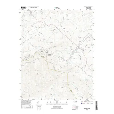
2016 Map of Glade Valley
USGS Topo · Published 2016About this map
The Blue Ridge Parkway carves through the high elevations of Alleghany Co and Wilkes Co, following the dramatic escarpment that defines this part of the Appalachian range. This 2016 survey highlights the intricate drainage systems that feed into the Little River and Big Sandy Cr, illustrating how the terrain dictates the layout of mountain communities like Glade Valley and Cherry Lane. The geography is anchored by prominent peaks such as Mahogany Rock Mtn and Bullhead Mtn, which overlook the steep descent into the Devils Garden.
Find a feature on this map
148 named features on this map. Tap any name to fly to it.
Don’t see what you’re looking for? This feature index may not catch every label — zoom into the map to look around manually.
Map Details
Editions of this 2016 Glade Valley Map
This is the sole edition of this map. No revisions or reprints were ever made.
Other maps of this area

1889 · Hillsville
USGS Topo · 1:125,000

1889 · Wytheville
USGS Topo · 1:125,000

1889 · Wilkesboro
USGS Topo · 1:125,000

1891 · Wilkesboro
USGS Topo · 1:125,000

1891 · Yadkinville
USGS Topo · 1:125,000

1892 · Hillsville
USGS Topo · 1:125,000

1892 · Wytheville
USGS Topo · 1:125,000

1893 · Yadkinville
USGS Topo · 1:125,000

1896 · Hillsville
USGS Topo · 1:125,000

1930 · Independence
USGS Topo · 1:48,000