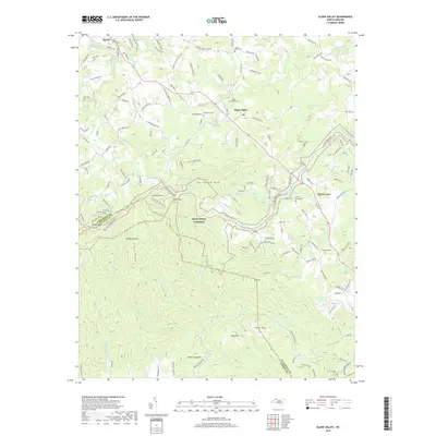
2019 Map of Glade Valley
USGS Topo · Published 2019About this map
Sparta and the surrounding high country of the Blue Ridge define this landscape, where the plateau drops sharply at the Alleghany and Wilkes county line. The Blue Ridge Parkway winds along the eastern escarpment, passing significant geological and recreational landmarks like Devils Garden, Bullhead Mtn, and Deep Gap. These features represent a transition from the agricultural uplands near Glade Valley to the steep, creek-fed drainages that feed the E Prong Roaring River system.
Find a feature on this map
154 named features on this map. Tap any name to fly to it.
Don’t see what you’re looking for? This feature index may not catch every label — zoom into the map to look around manually.
Map Details
Editions of this 2019 Glade Valley Map
This is the sole edition of this map. No revisions or reprints were ever made.
Other maps of this area

1889 · Hillsville
USGS Topo · 1:125,000

1889 · Wytheville
USGS Topo · 1:125,000

1889 · Wilkesboro
USGS Topo · 1:125,000

1891 · Wilkesboro
USGS Topo · 1:125,000

1891 · Yadkinville
USGS Topo · 1:125,000

1892 · Hillsville
USGS Topo · 1:125,000

1892 · Wytheville
USGS Topo · 1:125,000

1893 · Yadkinville
USGS Topo · 1:125,000

1896 · Hillsville
USGS Topo · 1:125,000

1930 · Independence
USGS Topo · 1:48,000