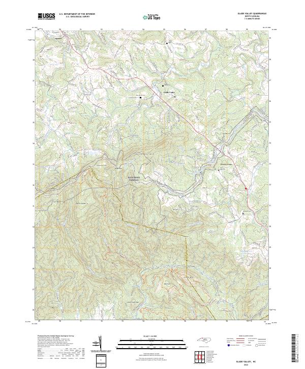
2022 Map of Glade Valley
USGS Topo · Published 2022About this map
Sparta sits at the northwestern edge of this landscape where the Little River winds through the high country of the Blue Ridge. The terrain is defined by sharp elevation changes, notably at Devils Garden and the steep slopes of Stone Mtn, marking the border where Alleghany Co meets Wilkes County. This area reflects a long history of mountain settlement and connectivity, from the established community at Glade Valley to the rural hub of Cherry Lane. The geography is dotted with local landmarks like the Little Glade Millpond and several family or community burial grounds, including Macedonia Cem and Woodruff Cem. Numerous creeks, such as Bullhead Cr and Rich Mountain Cr, drain the ridges, illustrating a classic Appalachian water-and-valley network. The presence of Camp Cheerio Lake and Temple Lake suggests the region's later development into a destination for recreation and seasonal camps alongside its agricultural roots.
Find a feature on this map
148 named features on this map. Tap any name to fly to it.
Don’t see what you’re looking for? This feature index may not catch every label — zoom into the map to look around manually.
Map Details
Editions of this 2022 Glade Valley Map
This is the sole edition of this map. No revisions or reprints were ever made.
Other maps of this area

1889 · Hillsville
USGS Topo · 1:125,000

1889 · Wytheville
USGS Topo · 1:125,000

1889 · Wilkesboro
USGS Topo · 1:125,000

1891 · Wilkesboro
USGS Topo · 1:125,000

1891 · Yadkinville
USGS Topo · 1:125,000

1892 · Hillsville
USGS Topo · 1:125,000

1892 · Wytheville
USGS Topo · 1:125,000

1893 · Yadkinville
USGS Topo · 1:125,000

1896 · Hillsville
USGS Topo · 1:125,000

1930 · Independence
USGS Topo · 1:48,000