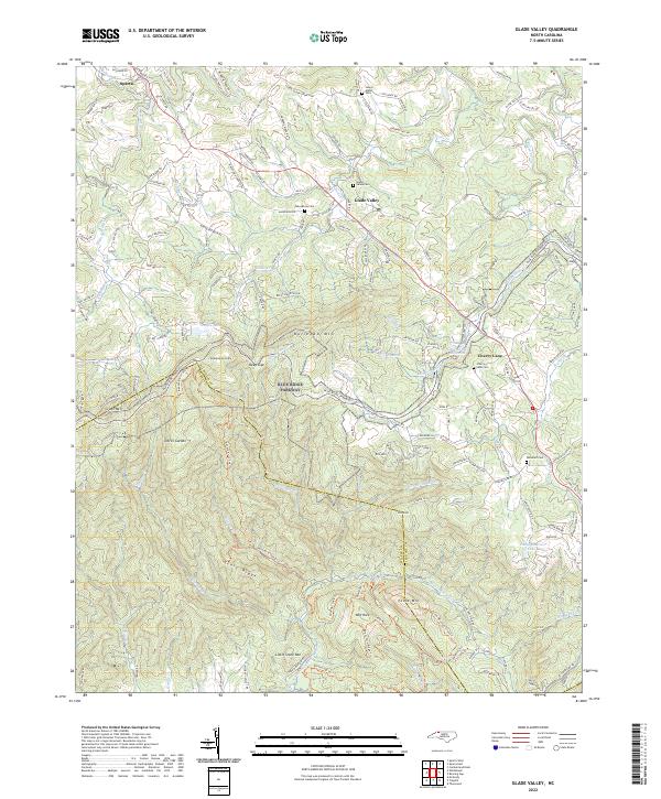
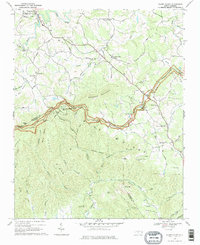
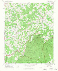
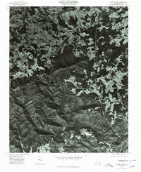
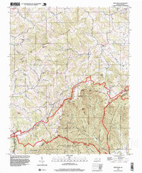
2022 Map of Glade Valley
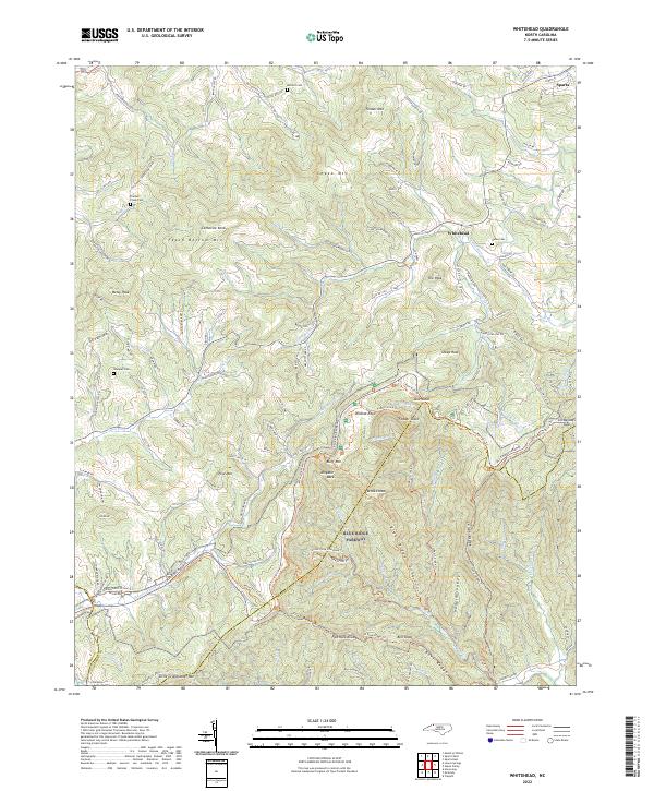
USGS Topo · Published 2022This historical map portrays the area of Glade Valley in 2022, primarily covering Alleghany County as well as portions of Wilkes County. Featuring a scale of 1:24000, this map provides a highly detailed snapshot of the terrain, roads, buildings, counties, and historical landmarks in the Glade Valley region at the time. Published in 2022, it is the sole known edition of this map.
Find a feature on this map
148 named features on this map. Tap any name to fly to it.
Don’t see what you’re looking for? This feature index may not catch every label — zoom into the map to look around manually.
Map Details
Editions of this 2022 Glade Valley Map
This is the sole edition of this map. No revisions or reprints were ever made.
Historical Maps of Pine Swamp Through Time
13 maps found
1965 Cumberland Knob
Alleghany County, NC
1966 Sparta East
Alleghany County, NC
1966 Sparta West
Alleghany County, NC
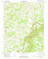
1968 Glade Valley
Alleghany County, NC
1968 Whitehead
Alleghany County, NC
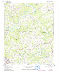
1976 Glade Valley
Alleghany County, NC
1998 Whitehead
Alleghany County, NC
2000 Sparta West
Alleghany County, NC
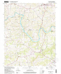
2022 Cumberland Knob
Alleghany County, NC
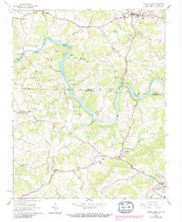
2022 Glade Valley
Alleghany County, NC
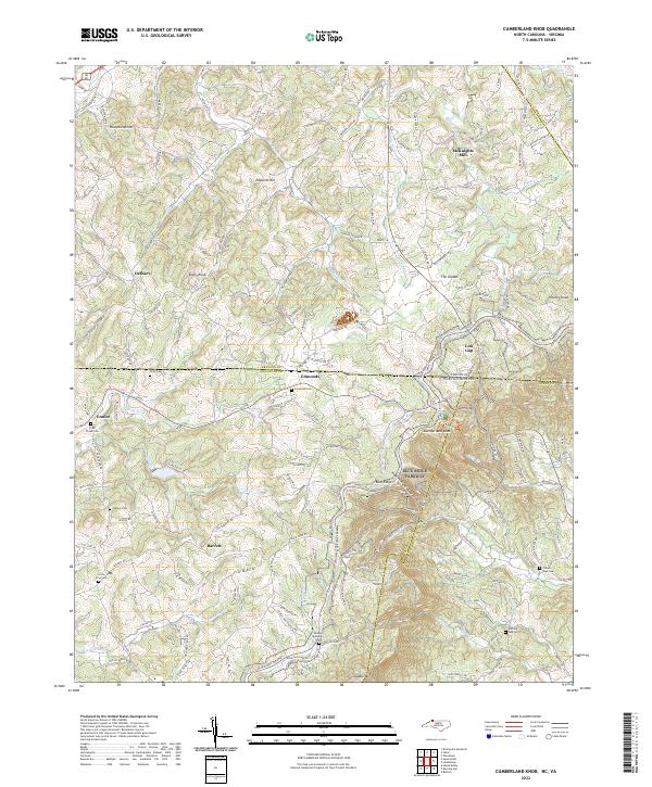
2022 Sparta East
Alleghany County, NC
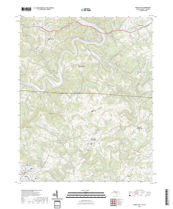
2022 Sparta West
Alleghany County, NC
2022 Whitehead
Alleghany County, NC