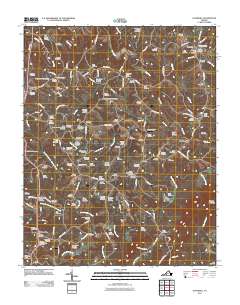
2011 Map of Gladehill
USGS Topo · Published 2011About this map
The Pigg River meanders across this Franklin County landscape, shaping the development of crossroads communities like Gladehill and Sydnorsville. This 2011 survey reveals an intricate network of rural life, characterized by a high density of family and community burial grounds including the Glade Hill Cemetery, Brooks-Metts-Smith Cemetery, and Arrington-Roberts Cemetery. The terrain is defined by the drainage systems of Doe Run and the North Fork Little Chestnut Creek, which flow toward the more prominent river valley.
Find a feature on this map
148 named features on this map. Tap any name to fly to it.
Don’t see what you’re looking for? This feature index may not catch every label — zoom into the map to look around manually.
Map Details
Editions of this 2011 Gladehill Map
This is the sole edition of this map. No revisions or reprints were ever made.
Other maps of this area

1890 · Roanoke
USGS Topo · 1:125,000

1891 · Roanoke
USGS Topo · 1:125,000

1922 · Callands
USGS Topo · 1:48,000

1924 · Callands
USGS Topo · 1:62,500

1925 · Rocky Mount
USGS Topo · 1:48,000

1927 · Rocky Mount
USGS Topo · 1:62,500

1944 · Rocky Mount
USGS Topo · 1:62,500

1944 · Callands
USGS Topo · 1:62,500

1947 · Roanoke
USGS Topo · 1:250,000

1951 · Boones Mill
USGS Topo · 1:62,500