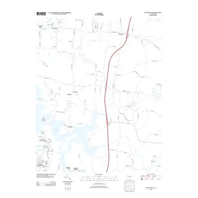
2013 Map of Gladeville
USGS Topo · Published 2013About this map
The sprawling waters of the J Percy Priest Reservoir dominate the southwestern landscape of this region, shaping the modern residential patterns of Jefferson Springs and Harbor Isles. The map captures a moment in the early 21st century where suburban expansion meets the older rural crossroads of Middle Tennessee. Historically significant communities like Gladeville and Rural Hill are visible, connected by long-established routes such as Couchville Pike and Stewarts Ferry Pike. The geography is defined by a network of drainage including Suggs Cr, Hurricane Cr, and Fall Cr, which feed into the primary reservoir. Recreational access is well-documented through features like the Fate Sanders Boat Dock and Stewart Creek Boat Ramp, illustrating the area's transition into a destination for water-based leisure near the growing Nashville metropolitan area.
Find a feature on this map
112 named features on this map. Tap any name to fly to it.
Don’t see what you’re looking for? This feature index may not catch every label — zoom into the map to look around manually.
Map Details
Editions of this 2013 Gladeville Map
This is the sole edition of this map. No revisions or reprints were ever made.
Other maps of this area

1903 · Nashville
USGS Topo · 1:125,000

1916 · Murfreesboro
USGS Topo · 1:62,500

1932 · Hermitage
USGS Topo · 1:62,500

1942 · Lebanon
USGS Topo · 1:100,000

1950 · Walterhill
USGS Topo · 1:24,000

1951 · Lebanon
USGS Topo · 1:24,000

1951 · Martha
USGS Topo · 1:24,000

1952 · Hermitage
USGS Topo · 1:24,000

1952 · La Vergne
USGS Topo · 1:24,000

1956 · Vine
USGS Topo · 1:24,000