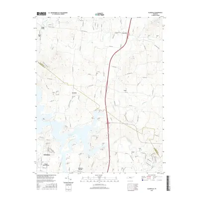
2016 Map of Gladeville
USGS Topo · Published 2016About this map
J Percy Priest Reservoir dominates the southern half of this landscape, its fingers reaching into the hilly terrain along the border of Wilson and Rutherford counties. This modern survey illustrates the proximity of the growing community of Smyrna and the residential area of Stones River Homes to the water's edge. The land is densely marked by family cemeteries and historic crossroads, such as Gladeville, Rockdale, and Vesta, which persist amidst a network of modern roads like Stewarts Ferry Pike.
Find a feature on this map
115 named features on this map. Tap any name to fly to it.
Don’t see what you’re looking for? This feature index may not catch every label — zoom into the map to look around manually.
Map Details
Editions of this 2016 Gladeville Map
This is the sole edition of this map. No revisions or reprints were ever made.
Other maps of this area

1903 · Nashville
USGS Topo · 1:125,000

1916 · Murfreesboro
USGS Topo · 1:62,500

1932 · Hermitage
USGS Topo · 1:62,500

1942 · Lebanon
USGS Topo · 1:100,000

1950 · Walterhill
USGS Topo · 1:24,000

1951 · Lebanon
USGS Topo · 1:24,000

1951 · Martha
USGS Topo · 1:24,000

1952 · Hermitage
USGS Topo · 1:24,000

1952 · La Vergne
USGS Topo · 1:24,000

1956 · Vine
USGS Topo · 1:24,000