2022 Map of Gladeville
USGS Topo · Published 2022About this map
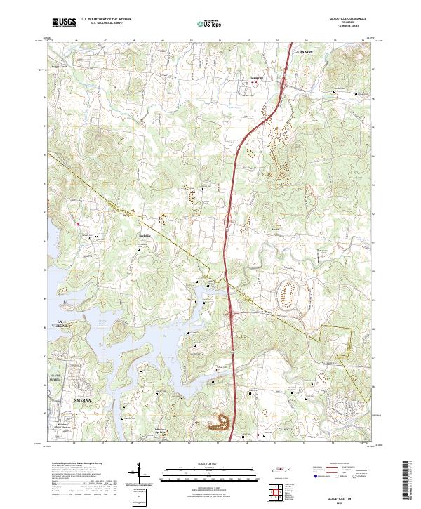
J Percy Priest Reservoir dominates the southwestern portion of this landscape, its intricate shoreline carving into the terrain near Jefferson Springs and Stones River Homes. The boundary between Wilson and Rutherford counties bisects the map, passing through the community of Rockdale. This modern survey reveals a dense network of family cemeteries that speak to the area's deep genealogical roots, including Adkerson Cem, Lannom Cem, and Spickard-Sullivan Cem located near the northern settlements. The landscape transitions from the suburban edges of Smyrna and La Vergne to the more open spaces surrounding Gladeville. Infrastructure such as TK Farms Airport and the Vesta Cedar Glade Trl near Vesta show the contemporary use of this historic corridor between the Stones River and the growing outskirts of Lebanon.
Find a feature on this map
121 named features on this map. Tap any name to fly to it.
Don’t see what you’re looking for? This feature index may not catch every label — zoom into the map to look around manually.
Map Details
Editions of this 2022 Gladeville Map
This is the sole edition of this map. No revisions or reprints were ever made.
