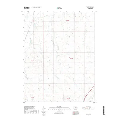
2018 Map of Gladstone
USGS Topo · Published 2018About this map
S Fork Cottonwood River and the Cottonwood River define this rural landscape in Chase County, where the settlement of Gladstone sits near the western edge of the sheet. The terrain is deeply etched by a network of drainage systems, including Bloody Cr, Spring Cr, and the ominously named Sorrow Cr. Local history and genealogy are centered around the Miller Cem, located just north of Gladstone, and the presence of Dexter Field, which suggests a history of aviation or organized athletics in this agricultural area. The map illustrates a largely open landscape punctuated by gravel routes like 200th RD and Bloody Creek Rd, which provide access to the various forks and runs that feed into the larger river basin.
Find a feature on this map
19 named features on this map. Tap any name to fly to it.
Don’t see what you’re looking for? This feature index may not catch every label — zoom into the map to look around manually.
Map Details
Editions of this 2018 Gladstone Map
This is the sole edition of this map. No revisions or reprints were ever made.
Other maps of this area
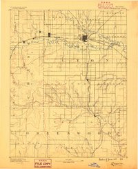
1888 · Emporia
USGS Topo · 1:125,000
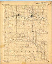
1894 · Emporia
USGS Topo · 1:125,000
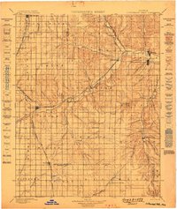
1898 · Cottonwood Falls
USGS Topo · 1:125,000
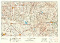
1955 · Hutchinson
USGS Topo · 1:250,000
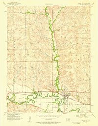
1957 · Strong City
USGS Topo · 1:24,000
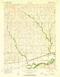
1957 · Saffordville
USGS Topo · 1:24,000
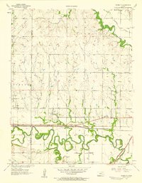
1957 · Plymouth
USGS Topo · 1:24,000
1959 · Hutchinson
USGS Topo · 1:250,000
1973 · Matfield Green
USGS Topo · 1:24,000
1973 · Shaw Creek
USGS Topo · 1:24,000