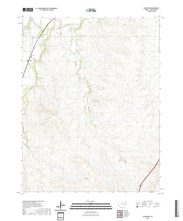
2022 Map of Gladstone
USGS Topo · Published 2022About this map
Gladstone and the surrounding prairie of Chase County are defined by the convergence of the Cottonwood River and its various tributaries. This 2022 survey documents a rural landscape where the S Fork Cottonwood River and Stout Run join the main river channel near Dexter Field. The drainage patterns of Bloody Cr and Little Bloody Cr illustrate the undulating topography of the region, which is accessed primarily via unpaved routes like Bloody Creek Rd and 200th Rd. Local history is anchored by the Miller Cem, located just north of the small settlement of Gladstone. The map provides a clear look at the township and range divisions, such as t19s r8e, that have governed land ownership in this part of Kansas for generations.
Find a feature on this map
17 named features on this map. Tap any name to fly to it.
Don’t see what you’re looking for? This feature index may not catch every label — zoom into the map to look around manually.
Map Details
Editions of this 2022 Gladstone Map
This is the sole edition of this map. No revisions or reprints were ever made.
Other maps of this area

1888 · Emporia
USGS Topo · 1:125,000

1894 · Emporia
USGS Topo · 1:125,000

1898 · Cottonwood Falls
USGS Topo · 1:125,000

1955 · Hutchinson
USGS Topo · 1:250,000

1957 · Strong City
USGS Topo · 1:24,000

1957 · Saffordville
USGS Topo · 1:24,000

1957 · Plymouth
USGS Topo · 1:24,000

1959 · Hutchinson
USGS Topo · 1:250,000

1973 · Matfield Green
USGS Topo · 1:24,000

1973 · Shaw Creek
USGS Topo · 1:24,000