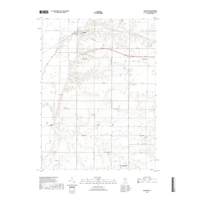
2018 Map of Gladstone
USGS Topo · Published 2018About this map
The village of Gladstone and the nearby town of Stronghurst anchor this portion of Henderson County, where the landscape transitions from the bluffs and bottoms of the Mississippi River basin into the rolling agricultural uplands. The drainage patterns of Ellison Cr and Middle Cr define the central terrain, punctuated by rural settlements like Olena and Hopper. This 2018 survey reveals a landscape deeply connected to its local history through a high density of family and community burial grounds, including South Henderson Cem, Kemp Cem, and Watson Cem. The presence of features such as Bogus Hollow and the Ellison Cr Diversion Ditch illustrates the long-standing management of water and terrain for both agricultural productivity and residential settlement. The map also traces local infrastructure along Water Tower RD and the corridor of Us HWY 34, providing a modern snapshot of these historic Illinois communities.
Find a feature on this map
44 named features on this map. Tap any name to fly to it.
Don’t see what you’re looking for? This feature index may not catch every label — zoom into the map to look around manually.
Map Details
Editions of this 2018 Gladstone Map
This is the sole edition of this map. No revisions or reprints were ever made.
Other maps of this area
1918 · La Harpe
USGS Topo · 1:62,500
1932 · Lomax
USGS Topo · 1:62,500
1934 · Oquawka
USGS Topo · 1:48,000
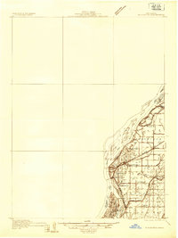
1934 · Burlington
USGS Topo · 1:48,000
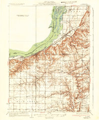
1937 · Lomax
USGS Topo · 1:62,500
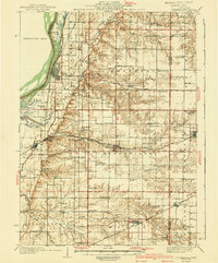
1940 · Oquawka
USGS Topo · 1:62,500
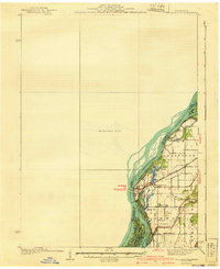
1940 · Burlington
USGS Topo · 1:62,500
1958 · Burlington
USGS Topo · 1:250,000
1961 · Burlington
USGS Topo · 1:250,000
1963 · Burlington
USGS Topo · 1:250,000