Loading...
Loading map...2021 Map of Gladstone
USGS Topo · Published 2021About this map
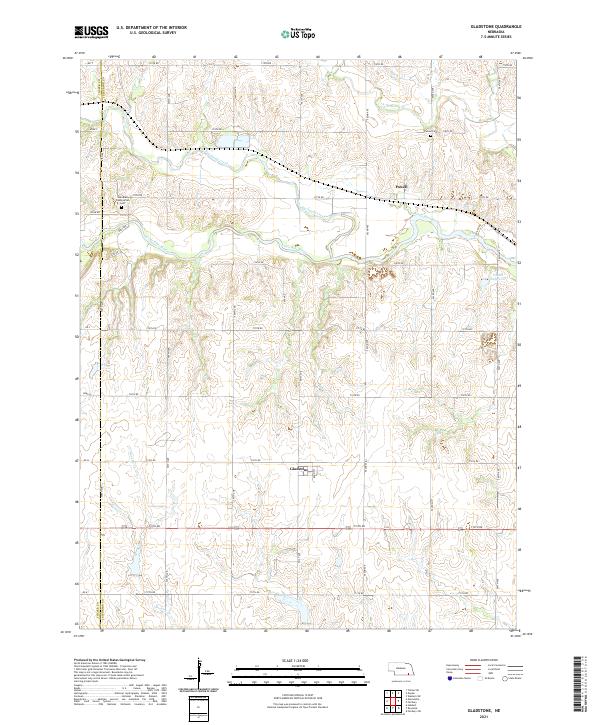
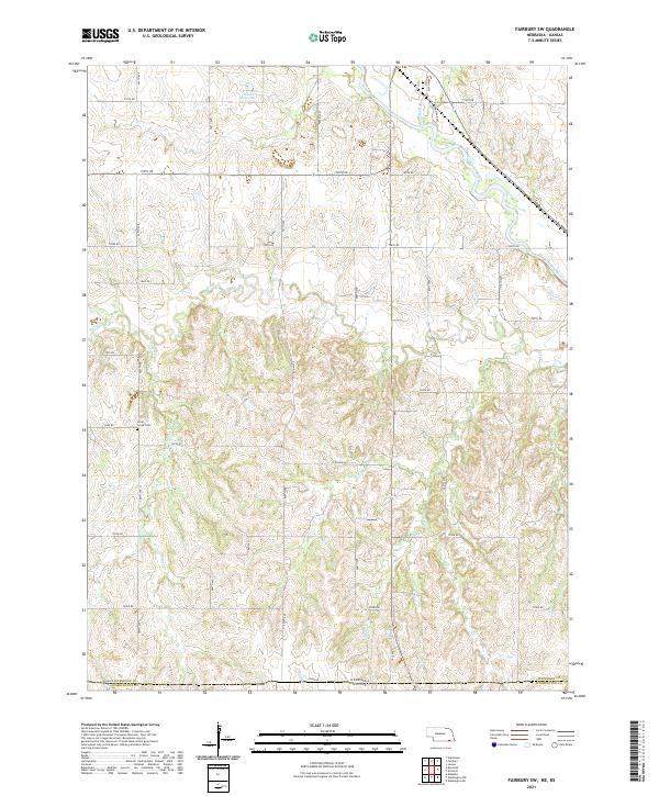
The Little Blue River cuts an east-west path across this section of Jefferson County, shaping the local topography near the Thayer County line. The small community of Powell sits north of the river, marked by the nearby Powell Cem and the Powell Reservoir to the east. Further south, the settlement of Gladstone is positioned along a grid of section roads including Main Ave and 713th Rd.
Find a feature on this map
43 named features on this map. Tap any name to fly to it.
Don’t see what you’re looking for? This feature index may not catch every label — zoom into the map to look around manually.
Map Details
Date Portrayed2021
Date Published2021
PublisherU.S. Geological Survey
Map TypeTopographic
Scale1:24000
Physical Dimensions24 x 29 inches
Editions of this 2021 Gladstone Map
This is the sole edition of this map. No revisions or reprints were ever made.
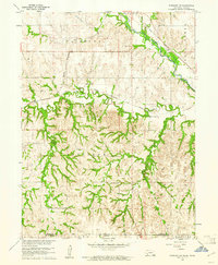
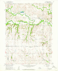
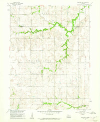
Historical Maps of Gladstone Through Time
8 maps found
Featured Locations
Source Details
SourceU.S. Geological Survey
CopyrightPublic Domain