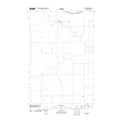
2011 Map of Gladstone
USGS Topo · Published 2011About this map
Gladstone sits at the confluence where the Green River meets the Heart River, serving as a central hub for this portion of Stark County. The landscape is defined by the winding paths of these waterways and their tributaries, including Antelope Creek and Beaver Creek. This 2011 survey reveals a transition in the local infrastructure, with a regular grid of section roads like 100th Ave SW and 40th St SW overlaying the natural meandering drainage patterns. Genealogists and local historians can locate established burial grounds such as Saint Thomas Cemetery near the town center and the more distant Pioneer Cemetery to the south. The proximity of these watercourses to the town site of Gladstone illustrates the historical reliance on river geography for early settlement and agricultural development in the North Dakota plains.
Find a feature on this map
26 named features on this map. Tap any name to fly to it.
Don’t see what you’re looking for? This feature index may not catch every label — zoom into the map to look around manually.
Map Details
Editions of this 2011 Gladstone Map
This is the sole edition of this map. No revisions or reprints were ever made.
Other maps of this area

1953 · Dickinson
USGS Topo · 1:250,000

1957 · Dickinson
USGS Topo · 1:250,000

1959 · Lehigh
USGS Topo · 1:24,000

1960 · White Butte NW
USGS Topo · 1:24,000

1962 · Davis Buttes
USGS Topo · 1:24,000

1973 · Bratburg Butte
USGS Topo · 1:24,000

1973 · Boyle
USGS Topo · 1:24,000

1973 · Taylor
USGS Topo · 1:24,000

1973 · Lefor NW
USGS Topo · 1:24,000

1973 · Lefor
USGS Topo · 1:24,000