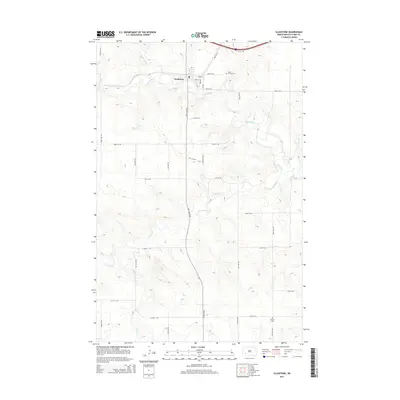
2014 Map of Gladstone
USGS Topo · Published 2014About this map
Gladstone sits at the confluence of the Heart River and the Green River, anchoring a prairie landscape defined by its riparian corridors and an expansive grid of section roads. This 2014 survey captures the settlement's layout along Main St and Cliff St, with the North Dakota landscape unfolding into a complex drainage system. Tributaries like Antelope Cr, Beaver Cr, and Jimmy Cr carve through the terrain, illustrating the natural water management patterns of Stark County.
Find a feature on this map
33 named features on this map. Tap any name to fly to it.
Don’t see what you’re looking for? This feature index may not catch every label — zoom into the map to look around manually.
Map Details
Editions of this 2014 Gladstone Map
This is the sole edition of this map. No revisions or reprints were ever made.
Other maps of this area
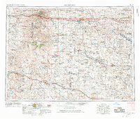
1953 · Dickinson
USGS Topo · 1:250,000
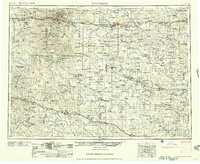
1957 · Dickinson
USGS Topo · 1:250,000
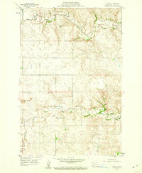
1959 · Lehigh
USGS Topo · 1:24,000
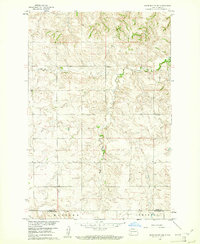
1960 · White Butte NW
USGS Topo · 1:24,000
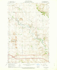
1962 · Davis Buttes
USGS Topo · 1:24,000
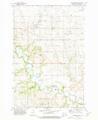
1973 · Bratburg Butte
USGS Topo · 1:24,000
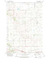
1973 · Boyle
USGS Topo · 1:24,000
1973 · Taylor
USGS Topo · 1:24,000
1973 · Lefor NW
USGS Topo · 1:24,000
1973 · Lefor
USGS Topo · 1:24,000