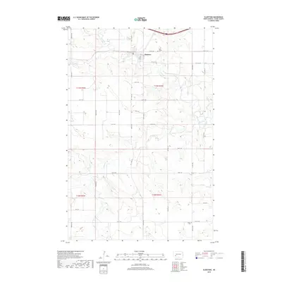
2018 Map of Gladstone
USGS Topo · Published 2018About this map
Gladstone sits at a strategic confluence in Stark County, where the Green River and Heart River meet amidst the rolling plains of North Dakota. This 2018 survey illustrates a landscape defined by its waterways, with Antelope Cr winding through the central townships and Jimmy Cr cutting across the southern reaches near the t138n r95w boundary. The settlement pattern is anchored by the town grid of Gladstone, which is organized around Main ST and Cliff ST. For those researching local history or genealogy, the map identifies key burial sites including Saint Thomas Cem north of the river and Pioneer Cem situated to the southeast. The area remains largely rural, mapped with a dense network of sectional roads such as 100th Ave SW and 40th ST SW, reflecting the enduring agricultural character of the region.
Find a feature on this map
34 named features on this map. Tap any name to fly to it.
Don’t see what you’re looking for? This feature index may not catch every label — zoom into the map to look around manually.
Map Details
Editions of this 2018 Gladstone Map
This is the sole edition of this map. No revisions or reprints were ever made.
Other maps of this area
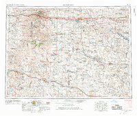
1953 · Dickinson
USGS Topo · 1:250,000
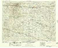
1957 · Dickinson
USGS Topo · 1:250,000
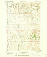
1959 · Lehigh
USGS Topo · 1:24,000
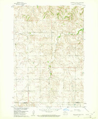
1960 · White Butte NW
USGS Topo · 1:24,000
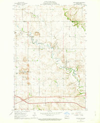
1962 · Davis Buttes
USGS Topo · 1:24,000
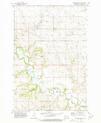
1973 · Bratburg Butte
USGS Topo · 1:24,000
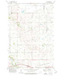
1973 · Boyle
USGS Topo · 1:24,000
1973 · Taylor
USGS Topo · 1:24,000
1973 · Lefor NW
USGS Topo · 1:24,000
1973 · Lefor
USGS Topo · 1:24,000