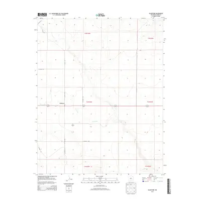
2013 Map of Gladstone
USGS Topo · Published 2013About this map
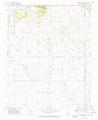
Gladstone serves as the focal point of this northeastern New Mexico landscape, situated at the intersection of several regional routes including CO Highway C-084 and CO Road C001. The settlement is marked by a local Po and the nearby Gladstone Cem, which serves as a significant marker for local genealogical research. To the south, smaller named locales such as Bryan and Beard sit along the winding course of Sand Arroyo, which carves through the terrain as the primary drainage feature. This 2013 survey illustrates a rural ranching and agricultural environment defined by its section lines and the network of county roads like CO Highway C-009 and CO Highway C-110 that connect these remote outposts across the high plains of Union County.
Find a feature on this map
20 named features on this map. Tap any name to fly to it.
Don’t see what you’re looking for? This feature index may not catch every label — zoom into the map to look around manually.
Map Details
Editions of this 2013 Gladstone Map
This is the sole edition of this map. No revisions or reprints were ever made.
Other maps of this area

1954 · Raton
USGS Topo · 1:250,000
1954 · Dalhart
USGS Topo · 1:250,000

1958 · Raton
USGS Topo · 1:250,000
1958 · Dalhart
USGS Topo · 1:250,000
1962 · Dalhart
USGS Topo · 1:250,000
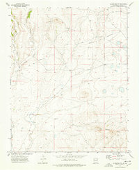
1973 · Gladstone NW
USGS Topo · 1:24,000
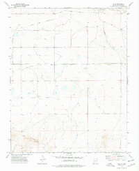
1973 · Sofia
USGS Topo · 1:24,000
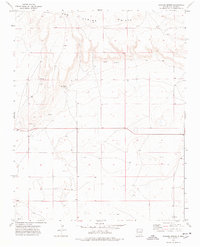
1973 · Romero Spring
USGS Topo · 1:24,000
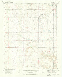
1974 · Farley
USGS Topo · 1:24,000
1974 · Lawrence Arroyo
USGS Topo · 1:24,000