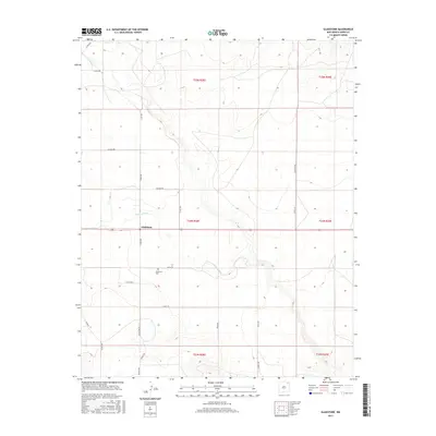
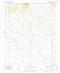
2017 Map of Gladstone
USGS Topo · Published 2017About this map
The high plains of Union County are captured in this 2017 survey of Gladstone. This rural area is defined by a sparse network of county roads and the natural drainage of Sand Arroyo, which winds southeast across the landscape. Local family and historical names are preserved through thoroughfare labels such as Bullard Rd, Bryan Rd, and Kritzan Rd. For genealogists and local historians, the Gladstone Cem is a primary landmark of the settlement, situated just south of the junction of Gladstone Rd and Bryan Rd. The map illustrates the gridded land management system common to this region, showing township boundaries like t24n r28e that organize the expansive ranching and agricultural terrain.
Find a feature on this map
25 named features on this map. Tap any name to fly to it.
Don’t see what you’re looking for? This feature index may not catch every label — zoom into the map to look around manually.
Map Details
Editions of this 2017 Gladstone Map
This is the sole edition of this map. No revisions or reprints were ever made.
Other maps of this area

1954 · Raton
USGS Topo · 1:250,000
1954 · Dalhart
USGS Topo · 1:250,000

1958 · Raton
USGS Topo · 1:250,000
1958 · Dalhart
USGS Topo · 1:250,000
1962 · Dalhart
USGS Topo · 1:250,000
1973 · Gladstone NW
USGS Topo · 1:24,000
1973 · Sofia
USGS Topo · 1:24,000
1973 · Romero Spring
USGS Topo · 1:24,000
1974 · Farley
USGS Topo · 1:24,000
1974 · Lawrence Arroyo
USGS Topo · 1:24,000