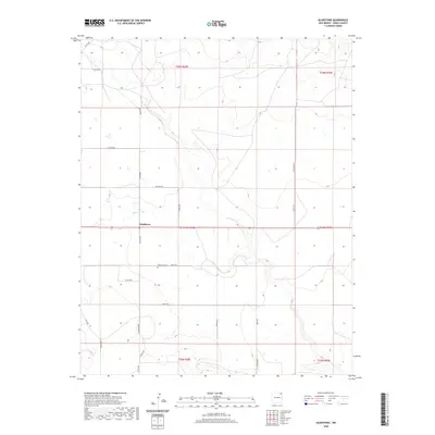
2020 Map of Gladstone
USGS Topo · Published 2020About this map
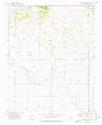
Gladstone sits at the heart of this high plains Union County landscape, where the geography is defined by a vast network of section lines and isolated rural homesteads. The terrain is drained by the meandering Sand Arroyo, which cuts through the central portion of the quadrangle near the settlement. The map serves as a detailed record of local landownership and family presence through its named infrastructure, featuring roads like Krizan Rd, Bryan Rd, Roney Rd, and Beard Rd that connect the various townships. This modern survey preserves the locations of vital community landmarks for genealogists, most notably the Gladstone Cem located south of the main settlement. The strictly gridded road system, including Bullard Rd and Gladstone Rd, reflects the enduring legacy of the Public Land Survey System across this northeastern New Mexico ranching country.
Find a feature on this map
25 named features on this map. Tap any name to fly to it.
Don’t see what you’re looking for? This feature index may not catch every label — zoom into the map to look around manually.
Map Details
Editions of this 2020 Gladstone Map
This is the sole edition of this map. No revisions or reprints were ever made.
Other maps of this area

1954 · Raton
USGS Topo · 1:250,000
1954 · Dalhart
USGS Topo · 1:250,000

1958 · Raton
USGS Topo · 1:250,000
1958 · Dalhart
USGS Topo · 1:250,000
1962 · Dalhart
USGS Topo · 1:250,000
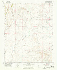
1973 · Gladstone NW
USGS Topo · 1:24,000
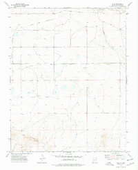
1973 · Sofia
USGS Topo · 1:24,000
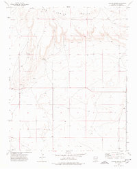
1973 · Romero Spring
USGS Topo · 1:24,000
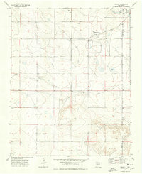
1974 · Farley
USGS Topo · 1:24,000
1974 · Lawrence Arroyo
USGS Topo · 1:24,000