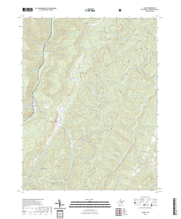
2023 Map of Glady
USGS Topo · Published 2023About this map
Glady and Bemis sit along the winding course of Shavers Fork, marking the primary centers of settlement in this high-altitude portion of Monongahela National Forest. The landscape is defined by parallel ridges and the intricate drainage networks of Glady Fork and its tributaries, such as East Fork Glady Fork and West Fork Glady Fork. Notable natural water sources, including William Harris Spring and Montoney Spring, are tucked into the hollows of Little Beech Mtn, suggesting a reliance on these features in the steep terrain. The eastern portion of the sheet is dominated by the Laurel Fork North Wilderness, where the Allegheny Trl Marlin Mtn Trl and Beulah Trl provide access through the dense woodland. This 2023 survey documents the modern state of these mountain communities and protected lands, showing the intersection of isolated residential areas and the high peaks of Shavers Mountain and Rich Mountain.
Find a feature on this map
51 named features on this map. Tap any name to fly to it.
Don’t see what you’re looking for? This feature index may not catch every label — zoom into the map to look around manually.
Map Details
Editions of this 2023 Glady Map
This is the sole edition of this map. No revisions or reprints were ever made.
Other maps of this area

1889 · Beverly
USGS Topo · 1:125,000

1892 · Beverly
USGS Topo · 1:125,000

1909 · Elkins
USGS Topo · 1:62,500

1922 · Horton
USGS Topo · 1:48,000

1922 · Spruce Knob
USGS Topo · 1:48,000

1922 · Durbin
USGS Topo · 1:48,000

1924 · Durbin
USGS Topo · 1:62,500

1924 · Horton
USGS Topo · 1:62,500

1924 · Spruce Knob
USGS Topo · 1:62,500

1949 · Charlottesville
USGS Topo · 1:250,000