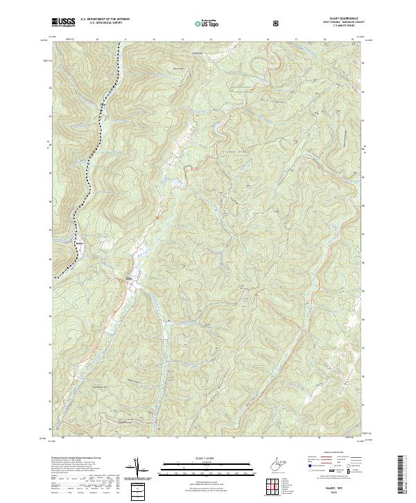
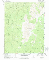
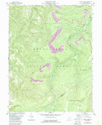
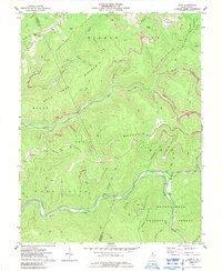
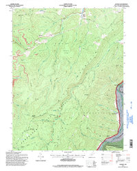
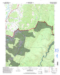
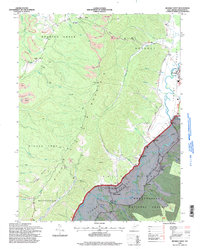
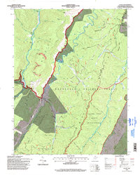
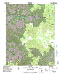
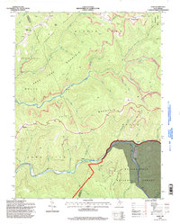
2023 Map of Glady
USGS Topo · Published 2023This historical map portrays the area of Glady in 2023, primarily covering Randolph County. Featuring a scale of 1:24000, this map provides a highly detailed snapshot of the terrain, roads, buildings, counties, and historical landmarks in the Glady region at the time. Published in 2023, it is the sole known edition of this map.
Map Details
Editions of this 2023 Glady Map
This is the sole edition of this map. No revisions or reprints were ever made.
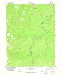
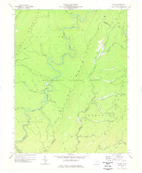
Historical Maps of Flint Through Time
34 maps found
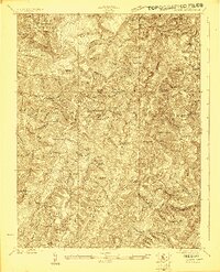
1922 Horton
Randolph County, WV
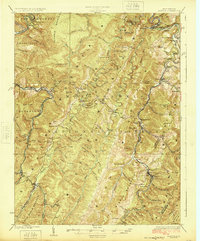
1924 Horton
Randolph County, WV
1968 Beverly West
Randolph County, WV
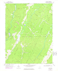
1968 Glady
Randolph County, WV
1969 Beverly East
Randolph County, WV
1969 Laneville
Randolph County, WV
1970 Sinks Of Gandy
Randolph County, WV
1974 Snyder Knob
Randolph County, WV
1977 Adolph
Randolph County, WV
1977 Cassity
Randolph County, WV
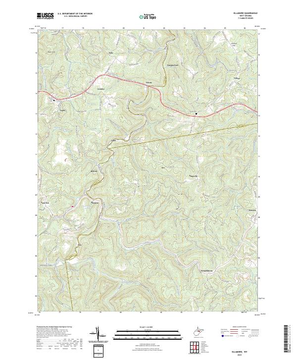
1977 Ellamore
Randolph County, WV
1977 Samp
Randolph County, WV
1977 Snyder Knob
Randolph County, WV
1977 Wildell
Randolph County, WV
1995 Adolph
Randolph County, WV
1995 Beverly East
Randolph County, WV
1995 Beverly West
Randolph County, WV
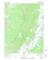
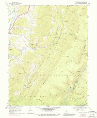
1995 Glady
Randolph County, WV
1995 Laneville
Randolph County, WV
1995 Samp
Randolph County, WV
1995 Sinks of Gandy
Randolph County, WV
1995 Snyder Knob
Randolph County, WV
1995 Wildell
Randolph County, WV
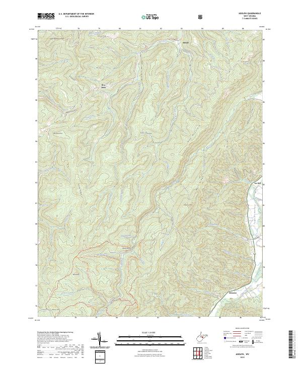
2023 Adolph
Randolph County, WV
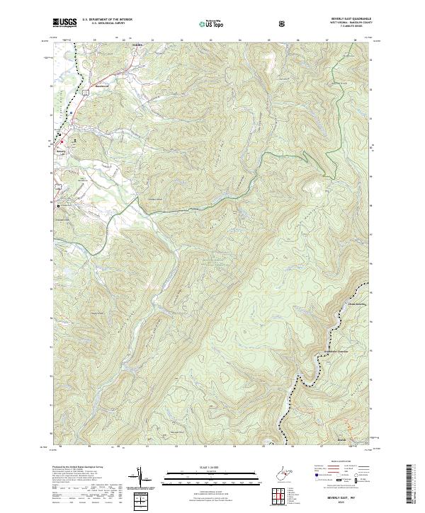
2023 Beverly East
Randolph County, WV
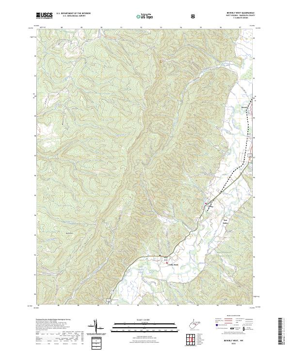
2023 Beverly West
Randolph County, WV
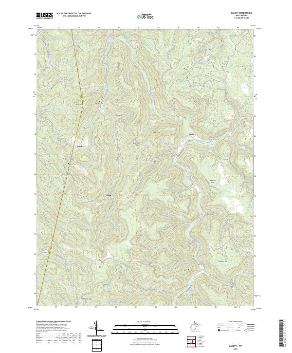
2023 Cassity
Randolph County, WV
2023 Ellamore
Randolph County, WV
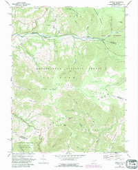
2023 Glady
Randolph County, WV
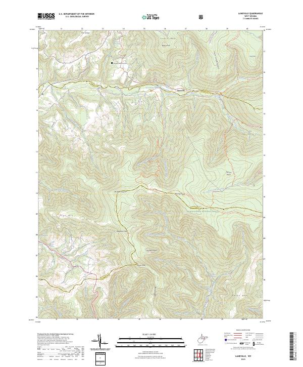
2023 Laneville
Randolph County, WV
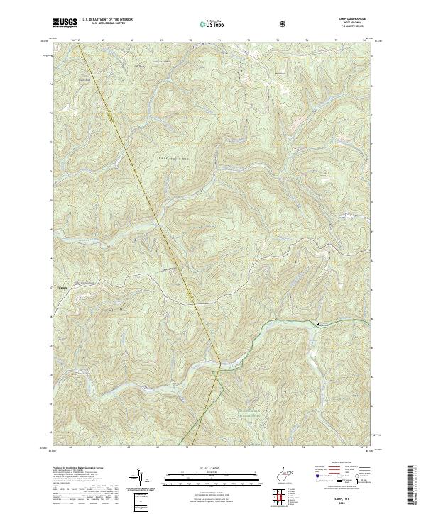
2023 Samp
Randolph County, WV
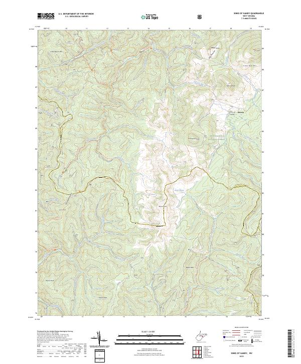
2023 Sinks of Gandy
Randolph County, WV
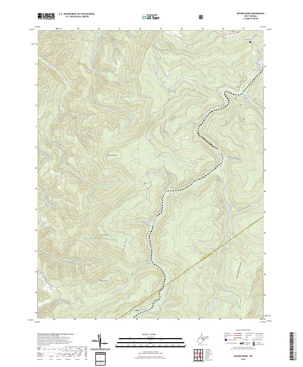
2023 Snyder Knob
Randolph County, WV
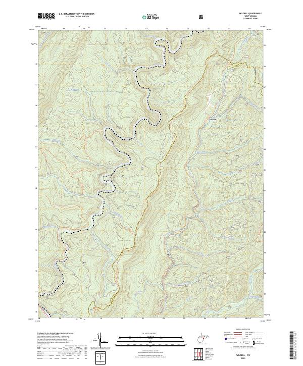
2023 Wildell
Randolph County, WV