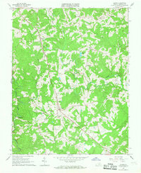
1966 Map of Gladys
USGS Topo · Published 1968About this map
The Norfolk and Western railroad corridor anchors this mid-century portrait of southern Campbell County, following a ridge line that connects the principal settlements of Winfall and Gladys. This rural landscape is heavily defined by its intricate drainage patterns, with Mollys Creek, Seneca Creek, and Whipping Creek carving through the terrain. The community centers are clearly marked by a high density of country churches and local institutions, including the First St Paula Ch, Organ Chapel, and the Gladys Sch. A legacy of small-scale industry and early infrastructure is visible at Mitchell Mill and the Substation near the railroad. The presence of numerous family-named landmarks like Diamond Hill and Three Forks indicates a long-standing pattern of dispersed agricultural settlement, where local life revolved around the rail line and the network of unpaved roads and creeks.
Find a feature on this map
27 named features on this map. Tap any name to fly to it.
Don’t see what you’re looking for? This feature index may not catch every label — zoom into the map to look around manually.
Map Details
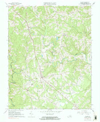
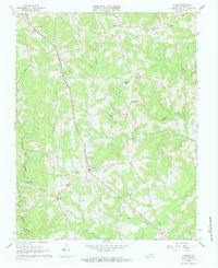
Editions of this 1966 Gladys Map
Other maps of this area

1892 · Lynchburg
USGS Topo · 1:125,000

1892 · Appomattox
USGS Topo · 1:125,000

1944 · Lynchburg
USGS Topo · 1:62,500

1947 · Roanoke
USGS Topo · 1:250,000

1950 · Lynchburg
USGS Topo · 1:62,500

1956 · Brookneal
USGS Topo · 1:62,500

1956 · Gladys
USGS Topo · 1:62,500

1958 · Appomattox
USGS Topo · 1:62,500

1959 · Roanoke
USGS Topo · 1:250,000

1963 · Roanoke
USGS Topo · 1:250,000