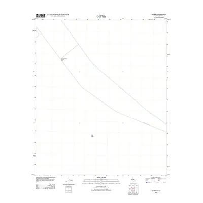
2012 Map of Glamis SE
USGS Topo · Published 2012About this map
East Mesa dominates this arid landscape in Imperial County, defined by the critical infrastructure of the Coachella Canal as it cuts across the desert floor. This 2012 survey documents the precise engineering required to move water through the region, featuring specific landmarks such as Coachella Bridge Number One. The presence of the Coachella Canal Rd running parallel to the waterway highlights the transport and maintenance corridors essential for managing this desert resource. The map reveals the stark geometry of desert surveying and the isolation of these major water-diversion projects far from established town centers.
Find a feature on this map
4 named features on this map. Tap any name to fly to it.
Don’t see what you’re looking for? This feature index may not catch every label — zoom into the map to look around manually.
Map Details
Editions of this 2012 Glamis SE Map
This is the sole edition of this map. No revisions or reprints were ever made.
Other maps of this area

1903 · Yuma
USGS Topo · 1:125,000

1905 · Yuma
USGS Topo · 1:125,000

1907 · Holtville
USGS Topo · 1:125,000

1942 · El Centro
USGS Topo · 1:250,000

1942 · Yuma
USGS Topo · 1:250,000

1953 · Grays Well
USGS Topo · 1:24,000

1953 · Ogilby
USGS Topo · 1:62,500

1953 · Cactus
USGS Topo · 1:24,000

1954 · El Centro
USGS Topo · 1:250,000

1954 · Midway Well NW
USGS Topo · 1:24,000