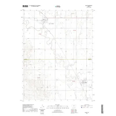
2018 Map of Glasco
USGS Topo · Published 2018About this map
The Solomon River meanders across the border of Cloud and Ottawa counties, anchoring a landscape defined by the agricultural settlements of Glasco and Delphos. In the northern section, Glasco is established near the confluence of Fisher Cr and the river, featuring a traditional grid centered on Main St. Local heritage is preserved at the Glasco Cem and Saint Mary's Catholic Cem, while the southern reaches of the map near Delphos show the quiet proximity of the Saint Paul Cem along Henry Cr. The terrain is characterized by the winding paths of several tributaries, including Mortimer Cr, Chis Cr, and Limestone Cr, which cut through the rural plains. Palmer Field stands out in the northeastern quadrant, highlighting the open spaces that separate these river valley communities.
Find a feature on this map
74 named features on this map. Tap any name to fly to it.
Don’t see what you’re looking for? This feature index may not catch every label — zoom into the map to look around manually.
Map Details
Editions of this 2018 Glasco Map
This is the sole edition of this map. No revisions or reprints were ever made.
Other maps of this area
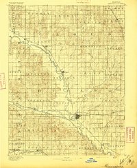
1892 · Minneapolis
USGS Topo · 1:125,000
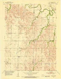
1952 · Glasco SW
USGS Topo · 1:24,000
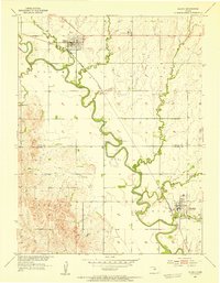
1952 · Glasco
USGS Topo · 1:24,000
1953 · Glasco NE
USGS Topo · 1:24,000
1953 · Simpson
USGS Topo · 1:24,000

1955 · Manhattan
USGS Topo · 1:250,000
1956 · Manhattan
USGS Topo · 1:250,000
1957 · Manhattan
USGS Topo · 1:250,000
1961 · Tescott NE
USGS Topo · 1:24,000
1964 · Ada
USGS Topo · 1:24,000