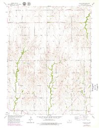
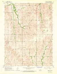
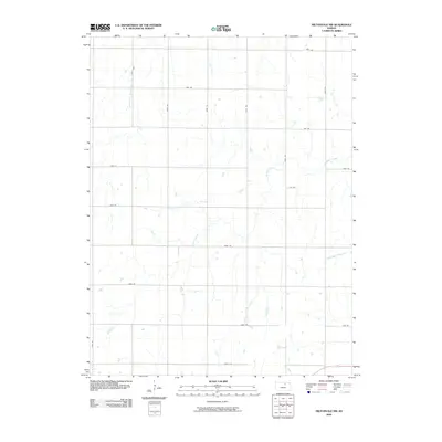
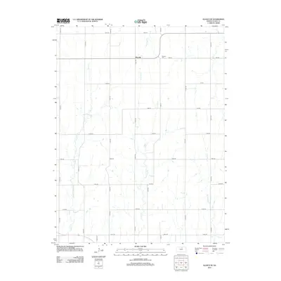
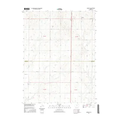
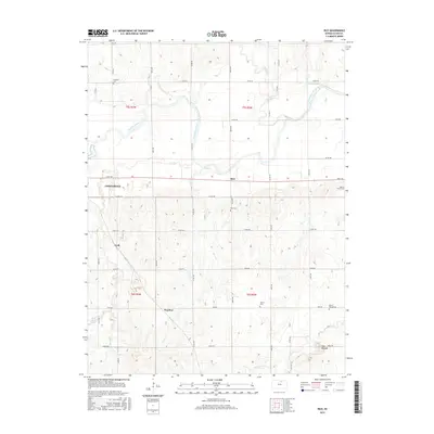
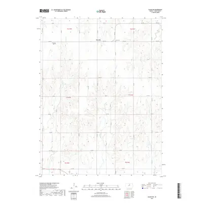
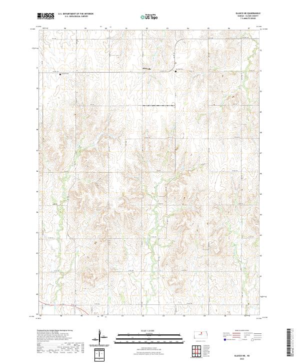
1953 Map of Glasco NE
USGS Topo · Published 1979About this map
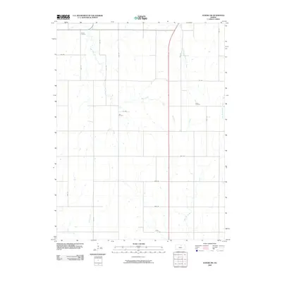
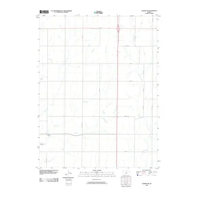
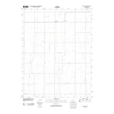
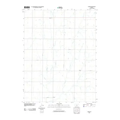
Macyville sits at the intersection of rural townships in northern Cloud County, serving as a central point for the surrounding agricultural community. The landscape is defined by the drainage patterns of Wolf Creek, Coal Creek, and Fisher Creek, which carve through the plains. The social fabric of the early 1950s is evident in the distribution of country schools like Highland Sch, Silver Arrow Sch, and Fairview Sch, each strategically placed to serve dispersed farmsteads. Local spiritual and commemorative life is anchored by Summit Ch and Morrison Cem. These features, along with scattered landmarks like a Windmill or Tower, reflect a period of Kansas history where small rural centers and school districts remained the primary organizing structures for the rural population before further consolidation changed the landscape.
Find a feature on this map
17 named features on this map. Tap any name to fly to it.
Don’t see what you’re looking for? This feature index may not catch every label — zoom into the map to look around manually.
Map Details
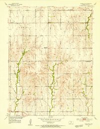
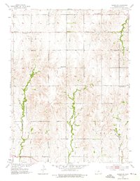
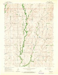
Editions of this 1953 Glasco NE Map
3 editions found
Historical Maps of Macyville Through Time
36 maps found
1953 Glasco NE
Cloud County, KS
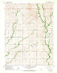
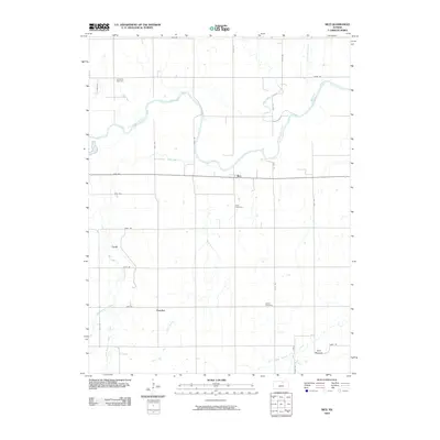
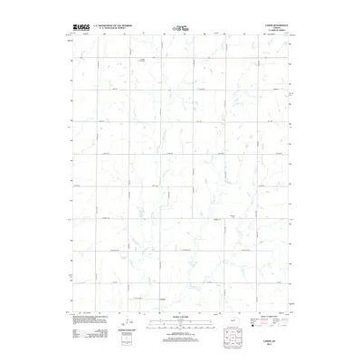
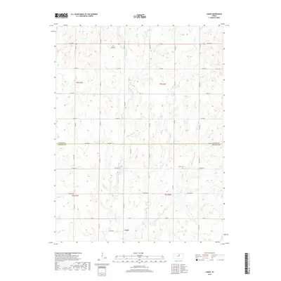
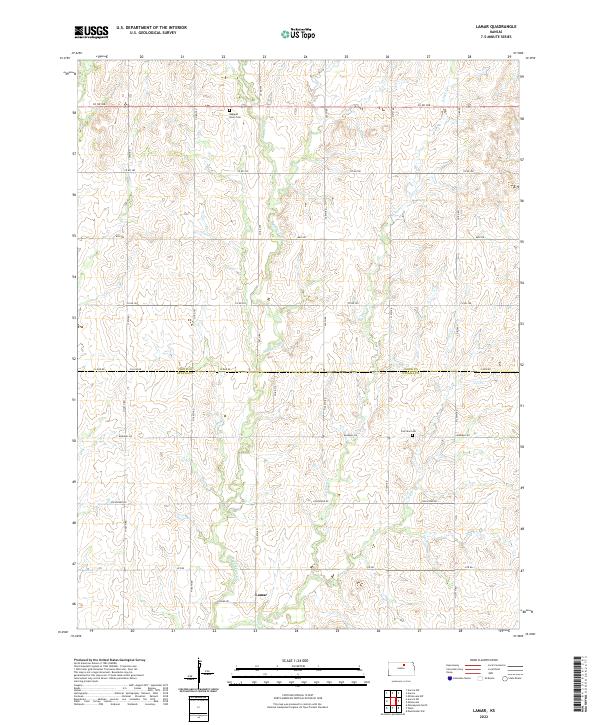
1964 Lamar
Cloud County, KS
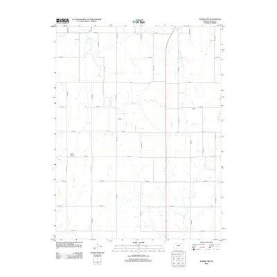
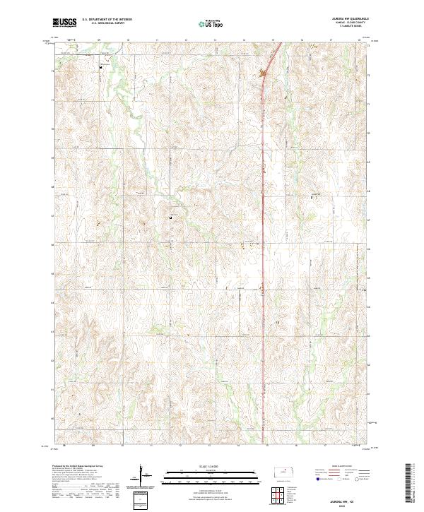
1965 Aurora NW
Cloud County, KS
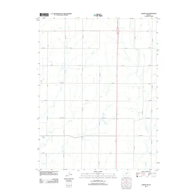
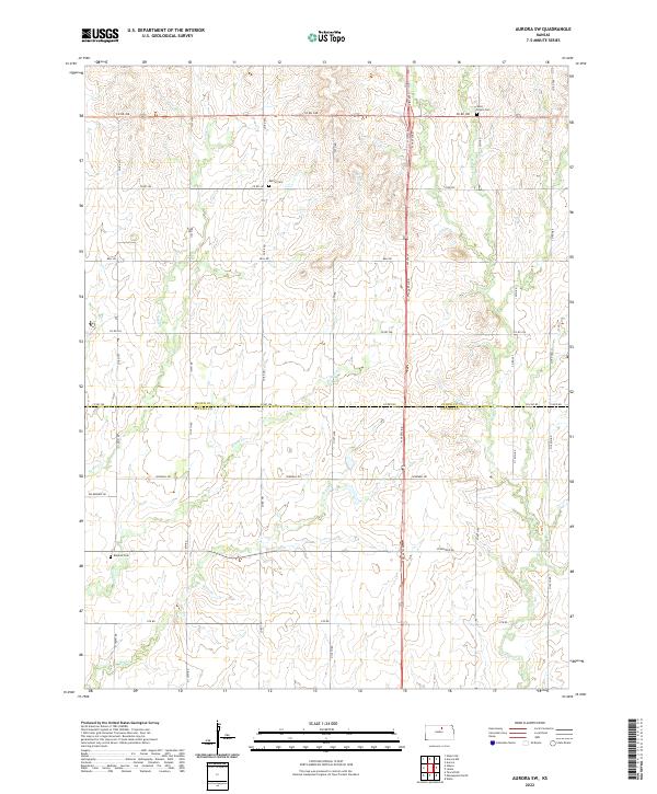
1965 Aurora SW
Cloud County, KS
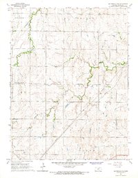
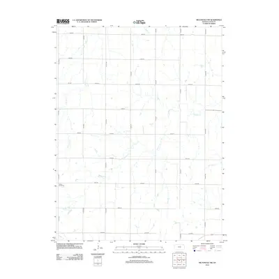
1965 Miltonvale NW
Cloud County, KS
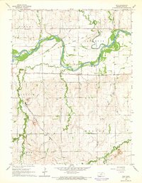
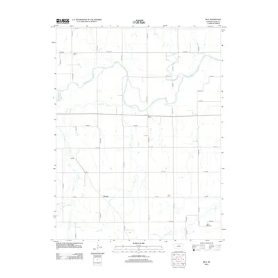
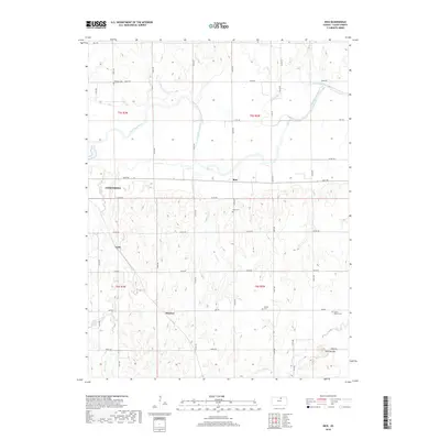
1965 Rice
Cloud County, KS
2009 Aurora NW
Cloud County, KS
2009 Aurora SW
Cloud County, KS
2009 Glasco NE
Cloud County, KS
2009 Lamar
Cloud County, KS
2009 Miltonvale NW
Cloud County, KS
2009 Rice
Cloud County, KS
2012 Aurora NW
Cloud County, KS
2012 Aurora SW
Cloud County, KS
2012 Glasco NE
Cloud County, KS
2012 Lamar
Cloud County, KS
2012 Miltonvale NW
Cloud County, KS
2012 Rice
Cloud County, KS
2015 Aurora SW
Cloud County, KS
2015 Glasco NE
Cloud County, KS
2015 Lamar
Cloud County, KS
2015 Miltonvale NW
Cloud County, KS
2015 Rice
Cloud County, KS
2016 Aurora NW
Cloud County, KS
2018 Aurora NW
Cloud County, KS
2018 Aurora SW
Cloud County, KS
2018 Glasco NE
Cloud County, KS
2018 Lamar
Cloud County, KS
2018 Miltonvale NW
Cloud County, KS
2018 Rice
Cloud County, KS
2022 Aurora NW
Cloud County, KS
2022 Aurora SW
Cloud County, KS
2022 Glasco NE
Cloud County, KS
2022 Lamar
Cloud County, KS
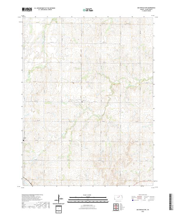
2022 Miltonvale NW
Cloud County, KS
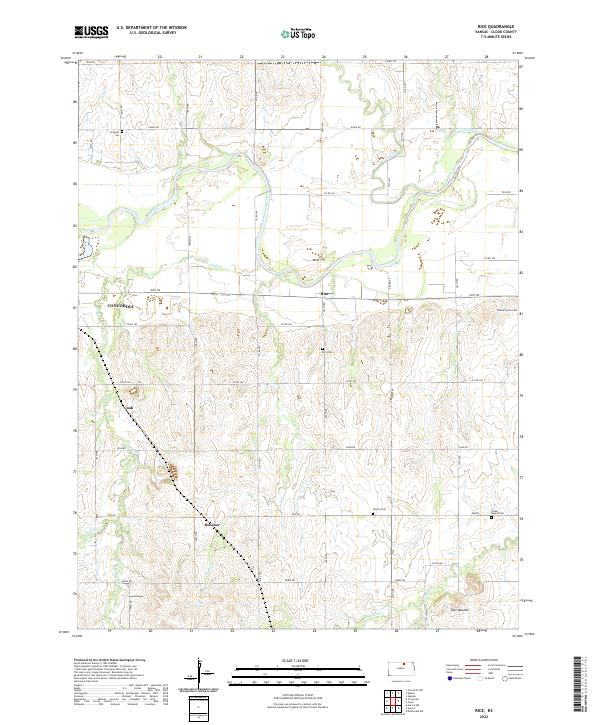
2022 Rice
Cloud County, KS