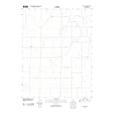
2009 Map of Glasco SW
USGS Topo · Published 2009About this map
The Solomon River meanders across the northern reaches of this rural landscape, joined by a systematic network of tributaries including Third Creek, Second Creek, and First Creek. This portion of Cloud County is defined by a rigorous grid of section-line roads, such as Linchell Rd and Volunteer Rd, which reflect the enduring influence of the Public Land Survey System on the Kansas prairie. For those documenting local heritage, the map identifies key burial sites including Simpson Cemetery near the river and Green Mound Cemetery to the west. The drainage patterns of Cow Creek and its neighboring streams illustrate the gentle topography of the region, while the density of rural road labels like Windmill Rd and Acorn Rd suggests a landscape deeply integrated with agricultural production and family farmsteads in the early twenty-first century.
Find a feature on this map
25 named features on this map. Tap any name to fly to it.
Don’t see what you’re looking for? This feature index may not catch every label — zoom into the map to look around manually.
Map Details
Editions of this 2009 Glasco SW Map
This is the sole edition of this map. No revisions or reprints were ever made.
Other maps of this area

1892 · Minneapolis
USGS Topo · 1:125,000

1894 · Beloit
USGS Topo · 1:125,000

1952 · Glasco SW
USGS Topo · 1:24,000

1952 · Glasco
USGS Topo · 1:24,000

1953 · Glasco NE
USGS Topo · 1:24,000

1953 · Simpson
USGS Topo · 1:24,000

1953 · Beloit
USGS Topo · 1:24,000

1955 · Manhattan
USGS Topo · 1:250,000

1955 · Beloit
USGS Topo · 1:250,000

1956 · Manhattan
USGS Topo · 1:250,000