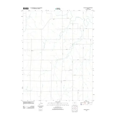
2012 Map of Glasco SW
USGS Topo · Published 2012About this map
The Solomon River meanders across the northern reaches of this rural Kansas landscape, defining the drainage patterns for a series of numbered tributaries. In this section of Cloud County, the topography is carved by First Cr, Second Cr, Third Cr, and Fourth Cr, illustrating a systematic naming convention likely established by early surveyors or settlers moving through the region.
Find a feature on this map
30 named features on this map. Tap any name to fly to it.
Don’t see what you’re looking for? This feature index may not catch every label — zoom into the map to look around manually.
Map Details
Editions of this 2012 Glasco SW Map
This is the sole edition of this map. No revisions or reprints were ever made.
Other maps of this area

1892 · Minneapolis
USGS Topo · 1:125,000

1894 · Beloit
USGS Topo · 1:125,000

1952 · Glasco SW
USGS Topo · 1:24,000

1952 · Glasco
USGS Topo · 1:24,000

1953 · Glasco NE
USGS Topo · 1:24,000

1953 · Simpson
USGS Topo · 1:24,000

1953 · Beloit
USGS Topo · 1:24,000

1955 · Manhattan
USGS Topo · 1:250,000

1955 · Beloit
USGS Topo · 1:250,000

1956 · Manhattan
USGS Topo · 1:250,000