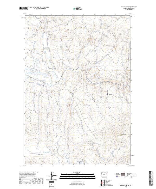
2023 Map of Glasgow Butte
USGS Topo · Published 2023About this map
Goose Creek and the Powder River define the intricate water-management landscape of this Baker County terrain. An extensive network of irrigation features like Cranston Ditch, Phillips Ditch, and Basche Ditch underscores the agricultural history of the region, as water is diverted from natural channels to support life on Pritchard Flat. Family legacies are preserved here at the Goose Creek Cem and Love Family Cem, which sit near the winding course of the river. The topography rises sharply toward the namesake Glasgow Butte in the southeast, while numerous named springs and gulches, such as Crystal Palace Gulch and Magpie Spring, mark the draws and ridges. A series of local roads and loops, including Sparta Ln and John Widman Rd, connect these scattered landmarks across the high-elevation basin.
Find a feature on this map
44 named features on this map. Tap any name to fly to it.
Don’t see what you’re looking for? This feature index may not catch every label — zoom into the map to look around manually.
Map Details
Editions of this 2023 Glasgow Butte Map
This is the sole edition of this map. No revisions or reprints were ever made.
Other maps of this area

1901 · Baker City
USGS Topo · 1:125,000

1915 · Pine
USGS Topo · 1:125,000

1955 · Baker
USGS Topo · 1:250,000

1957 · Sparta
USGS Topo · 1:62,500

1957 · Durkee
USGS Topo · 1:62,500

1959 · Baker
USGS Topo · 1:250,000
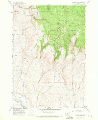
1967 · Sawtooth Ridge
USGS Topo · 1:24,000
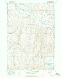
1967 · Keating
USGS Topo · 1:24,000

1981 · Baker
USGS Topo · 1:100,000
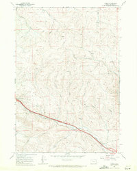
1987 · Oxman
USGS Topo · 1:24,000