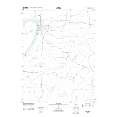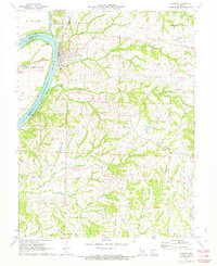
1971 Map of Glasgow
USGS Topo · Published 1972About this map
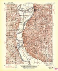
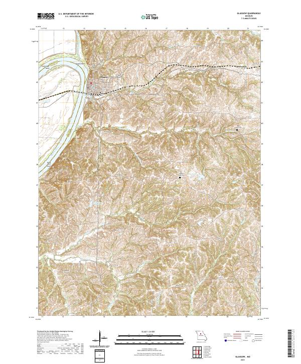
Glasgow sits prominently at a sweeping bend in the Missouri River on this early 1970s survey, marking a significant navigation and rail point at the junction of Chariton, Howard, and Saline counties. The landscape is defined by the convergence of the Little Chariton River and the main Missouri channel, with a complex network of levees protecting the low-lying bottoms. Inland, the high ground is bisected by the Gulf Mobile and Ohio railroad, which links the main town to the smaller settlement of Steinmetz.
Find a feature on this map
33 named features on this map. Tap any name to fly to it.
Don’t see what you’re looking for? This feature index may not catch every label — zoom into the map to look around manually.
Map Details
Editions of this 1971 Glasgow Map
This is the sole edition of this map. No revisions or reprints were ever made.
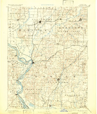
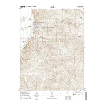
Historical Maps of Glasgow Through Time
7 maps found